|
A487 Road
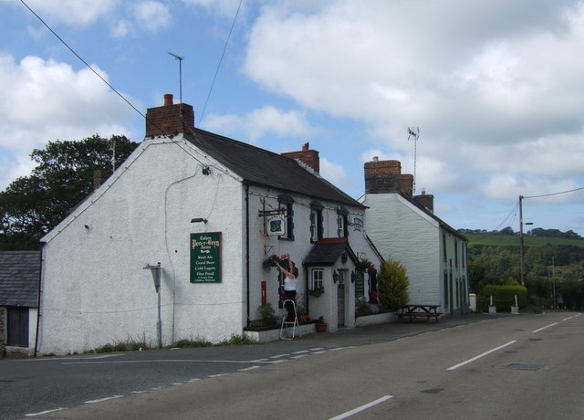
The A487, officially the Fishguard to Bangor Trunk Road, is a trunk road in Wales that follows the coast from Haverfordwest, Pembrokeshire, in the south, to Bangor, Gwynedd, in the north. Route The road starts at a junction with the A40 in Haverfordwest and travels northwest to St David's to switch northeast through Fishguard, Cardigan, Aberaeron, Aberystwyth, Machynlleth and Corris. Through the town of Fishguard, the road width in places is a very narrow single lane, leading to many traffic issues, especially with heavy goods vehicles (HGVs). From 2010, articulated HGVs were diverted from the section between Cardigan and Fishguard because of this, and routed instead via the A478 road to Penblewin, then the A40 to Fishguard via Haverfordwest. However, there were still problems to some extent. The road continues to Dolgellau multiplexing with the A470 north of the Cross Foxes inn. After Dolgellau, the road continues to multiplex with the A470, re-emerging just north ... [...More Info...] [...Related Items...] OR: [Wikipedia] [Google] [Baidu] |
South Wales Trunk Road Agent
The South Wales Trunk Road Agent (SWTRA; cy, Asiant Cefnffyrdd De Cymru) is one of the two trunk road agents in Wales. It is responsible for managing motorways and trunk roads in South Wales on behalf of the Welsh Government. Established on 1 April 2006 as the ''South Wales Trunk Road Agency'', and renamed to its current name on 1 April 2012. The agent manages the motorways and trunk roads in the fourteen principal areas of the south of Wales, from the Severn Bridge in the east to Milford Haven in the west. The remainder of Wales is managed by the North and Mid Wales Trunk Road Agent. History Prior to the South Wales Trunk Road Agency being established, motorways and trunk roads in Wales were managed by the Ministry of Transport, later being taken on by the Welsh Office. The National Assembly for Wales took responsibility for devolved powers on 1 July 1999, as part of this process, transport was transferred from the Parliament of the United Kingdom to the National Assembly fo ... [...More Info...] [...Related Items...] OR: [Wikipedia] [Google] [Baidu] |
St David's
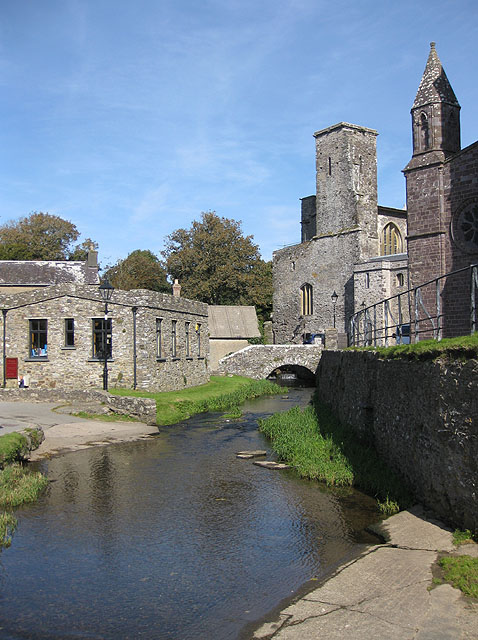
St Davids or St David's ( cy, Tyddewi, , "David's house”) is a city and a community (named St Davids and the Cathedral Close) with a cathedral in Pembrokeshire, Wales, lying on the River Alun. It is the resting place of Saint David, Wales's patron saint, and named after him. St Davids is the United Kingdom's smallest city in population (just over 1,600 in 2011) and urban area (the smallest city by local authority boundary area being the City of London). St Davids was given city status in the 12th century. This does not derive automatically from criteria, but in England and Wales it was traditionally given to cathedral towns under practices laid down in the early 1540s, when Henry VIII founded dioceses. City status was lost in 1886, but restored in 1994 at the request of Queen Elizabeth II. History Early history Although the surrounding landscape is home to a number of Palaeolithic, Bronze Age and Iron Age sites, archaeological evidence suggests that Pembrokeshire wa ... [...More Info...] [...Related Items...] OR: [Wikipedia] [Google] [Baidu] |
Sarn Helen
Sarn Helen refers to several stretches of Roman road in Wales. The route, which follows a meandering course through central Wales, connects Aberconwy in the north with Carmarthen in the west. Despite its length, academic debate continues as to the precise course of the Roman road. Many sections are now used by the modern road network while other parts are still traceable. However, there are sizeable stretches that have been lost and are unidentifiable. The route is named after Saint Elen of Caernarfon, a Celtic saint, whose story is told in '' The Dream of Macsen Wledig'', part of the ''Mabinogion''. She is said to have ordered the construction of roads in Wales during the late 4th century. Route Aberconwy–Carmarthen In the north the route is believed to follow the western bank of the river Conwy from Canovium, a fort at Caerhun, passing through Trefriw, then leading on to Betws-y-Coed, with a branch leading to Caer Llugwy near Capel Curig. The route then passed through ... [...More Info...] [...Related Items...] OR: [Wikipedia] [Google] [Baidu] |
Turnpike Trust
Turnpike trusts were bodies set up by individual Acts of Parliament in the United Kingdom, acts of Parliament, with powers to collect road toll road, tolls for maintaining the principal roads in Kingdom of Great Britain, Britain from the 17th but especially during the 18th and 19th centuries. At the peak, in the 1830s, over 1,000 trusts administered around of turnpike road in England and Wales, taking tolls at almost 8,000 toll-gates and side-bars. During the early 19th century the concept of the turnpike trust was adopted and adapted to manage roads within the British Empire (Ireland, Canada, Australia, New Zealand, India, and South Africa) and in the United States. Turnpikes declined with the Railway mania, coming of the railways and then the Local Government Act 1888 gave responsibility for maintaining main roads to county councils and county borough councils. Etymology The term "turnpike" originates from the similarity of the gate used to control access to the road, to ... [...More Info...] [...Related Items...] OR: [Wikipedia] [Google] [Baidu] |
River Dyfi
The River Dyfi ( cy, Afon Dyfi; ), also known as the River Dovey (; ), is an approximately long river in Wales. Its large estuary forms the boundary between the counties of Gwynedd and Ceredigion, and its lower reaches have historically been considered the border between North Wales and South Wales. Name Nowadays the Welsh spelling ''Dyfi'' is widely used locally and by the Welsh Government, Natural Resources Wales and the BBC. The anglicised spelling ''Dovey'' continues to be used by some entities. Sources The River Dyfi rises in the small lake Creiglyn Dyfi at about above sea level, below Aran Fawddwy, flowing south to Dinas Mawddwy and Cemmaes Road ( cy, Glantwymyn), then south west past Machynlleth to Cardigan Bay ( cy, Bae Ceredigion) at Aberdyfi. It shares its watershed with the River Severn ( cy, Afon Hafren) and the River Dee ( cy, Afon Dyfrdwy) before flowing generally south-westwards down to a wide estuary. The only large town on its route is Machynlleth. Th ... [...More Info...] [...Related Items...] OR: [Wikipedia] [Google] [Baidu] |
Menai Suspension Bridge
The Menai Suspension Bridge ( cy, Pont y Borth, Pont Grog y Borth) is a suspension bridge spanning the Menai Strait between the island of Anglesey and the mainland of Wales. Designed by Thomas Telford and completed in 1826, it was the world's first major suspension bridge. The bridge still carries road traffic and is a Grade I listed structure. Background The Menai Strait was created by glacial erosion along a line of weakness associated with the Menai Strait Fault System. During a series of Pleistocene glaciations (that lasted from about 2,580,000 to 11,700 years ago), a succession of ice-sheets moved from northeast to southwest across Anglesey and neighbouring Gwynedd, scouring the underlying rock and creating a series of linear bedrock hollows. The deepest of these channels eventually became flooded by the sea as the ice sheets receded, forming the Menai Strait. As Anglesey has been an island throughout recorded human history, the only way to reach it was by crossing the st ... [...More Info...] [...Related Items...] OR: [Wikipedia] [Google] [Baidu] |
Penrhyndeudraeth
Penrhyndeudraeth (; ) is a small town and community in the Welsh county of Gwynedd. The town is close to the mouth of the River Dwyryd on the A487 nearly east of Porthmadog, and had a population of 2,150 at the 2011 census, increased from 2,031 in 2001. The community includes Minffordd and Portmeirion. History An older settlement of a few cottages at Upper Penrhyn was originally called ''Cefn Coch'' ('Red Ridge') and that name is perpetuated by the Penrhyndeudraeth primary school, which is known as Ysgol Cefn Coch; but the town proper is comparatively modern. The ground on which it stands was a malarial swamp encircling a huge stagnant pool. The present town owes its existence as a commercial centre to a local landowner, David Williams of Castell Deudraeth near Minffordd, who in the mid-19th century drained the swamp and dried the pool and constructed many streets. Adopting a scheme of town planning evolved by the builder of Tremadog and his Italian craftsmen, Williams g ... [...More Info...] [...Related Items...] OR: [Wikipedia] [Google] [Baidu] |
Trawsfynydd
Trawsfynydd (; Welsh for "across hemountain") is a linear village in Gwynedd, Wales, near Llyn Trawsfynydd reservoir, and adjacent to the A470 north of Bronaber and Dolgellau and 10 km (6 miles) south of Blaenau Ffestiniog. The total community area is 12,010 hectares (46.4 square miles) with a population of only 973. The area is sparsely populated with each hectare (acre) inhabited by an average 0.07 (0.03) persons. The village is typical of many Welsh villages. There is one grocery shop, one public house, a newsagent, a chemist, garage, petrol service station, and a branch of a large agricultural merchants. The community includes Bronaber. History Prehistoric people lived in the area in scattered groups of circular huts near the river, Afon Crawcwellt, about two miles south of today's village. A substantial Romano-British fort and settlement was established at Tomen y Mur in the first century CE. The area continued to be inhabited during sub Roman Britain. An example of a ... [...More Info...] [...Related Items...] OR: [Wikipedia] [Google] [Baidu] |
A470 Road
The A470 (also named the Cardiff to Glan Conwy Trunk Road) is a trunk road in Wales. It is the country's longest road at and links the capital Cardiff on the south coast to Llandudno on the north coast. While previously one had to navigate the narrow roads of Llanidloes and Dolgellau, both these market towns are now bypassed due to extensive road modernisation. The from Cardiff Bay to Merthyr Tydfil are mainly dual carriageway, but most of the route from north of Merthyr to Llandudno is single carriageway. Route National parks The road travels through two of the national parks of Wales: the Brecon Beacons, and Snowdonia National Park starting just south of Dinas Mawddwy. Cardiff Bay – Merthyr Tydfil The southernmost point of the route is in Cardiff Bay, outside the Wales Millennium Centre. It runs up Lloyd George Avenue (this was previously Collingdon Road, and the A470 previously ran along the parallel Bute Street), and continues along St. Mary Street in centra ... [...More Info...] [...Related Items...] OR: [Wikipedia] [Google] [Baidu] |
Concurrency (road)
A concurrency in a road network is an instance of one physical roadway bearing two or more different route numbers. When two roadways share the same right-of-way, it is sometimes called a common section or commons. Other terminology for a concurrency includes overlap, coincidence, duplex (two concurrent routes), triplex (three concurrent routes), multiplex (any number of concurrent routes), dual routing or triple routing. Concurrent numbering can become very common in jurisdictions that allow it. Where multiple routes must pass between a single mountain crossing or over a bridge, or through a major city, it is often economically and practically advantageous for them all to be accommodated on a single physical roadway. In some jurisdictions, however, concurrent numbering is avoided by posting only one route number on highway signs; these routes disappear at the start of the concurrency and reappear when it ends. However, any route that becomes unsigned in the middle of the concurr ... [...More Info...] [...Related Items...] OR: [Wikipedia] [Google] [Baidu] |
Dolgellau
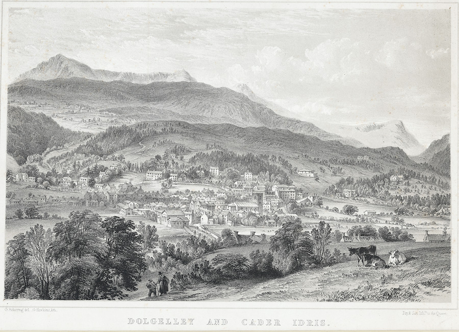
Dolgellau () is a town and Community (Wales), community in Gwynedd, north-west Wales, lying on the River Wnion, a tributary of the River Mawddach. It was the traditional county town of the Historic counties of Wales, historic county of Merionethshire ( cy, Meirionnydd, Sir Feirionnydd) until the county of Gwynedd was created in 1974. Dolgellau is the main base for climbers of Cadair Idris and Mynydd Moel which are visible from the town. Dolgellau is the second largest settlement in southern Gwynedd after Tywyn and includes the community of Penmaenpool. Etymology The name of the town is of uncertain origin, although ' is Welsh for "meadow" or "dale", and ' (soft mutation of ') means "grove" or "spinney", and is common locally in names for farms in sheltered nooks. This would seem to be the most likely derivation, giving the translation "Grove Meadow". It has also been suggested that the name could derive from the word ', meaning "cell", translating therefore as "Meadow of [monks' ... [...More Info...] [...Related Items...] OR: [Wikipedia] [Google] [Baidu] |
A478 Road
The A478 road is a major road in Wales. The route is from its junction with the A487 at Cardigan, Ceredigion, to Tenby, Pembrokeshire. It crosses the Preseli Hills and winds through farmland for almost all of its route. The road just touches the very west of Carmarthenshire. History A road between Cardigan and Narberth was recorded between 1536 and 1642. The 1555 Highways Act made parishes responsible for the roads that crossed them. Most were unsuitable for wheeled traffic. Turnpike trusts were set up in the late 18th and early 19th centuries to manage road maintenance; at least part of this road came under the Whitland Trust. However, by the mid-19th century, some trusts were badly managed or abused, exacerbating rural poverty and in part leading to the Rebecca riots in the 1840s, some of the earliest of which were on this road, particularly at Efailwen in the Cilymaenllwyd Community. The trusts were reformed in 1844. The northern two-thirds of the A478 was a drovers' road, ... [...More Info...] [...Related Items...] OR: [Wikipedia] [Google] [Baidu] |


