National Spatial Reference System on:
[Wikipedia]
[Google]
[Amazon]
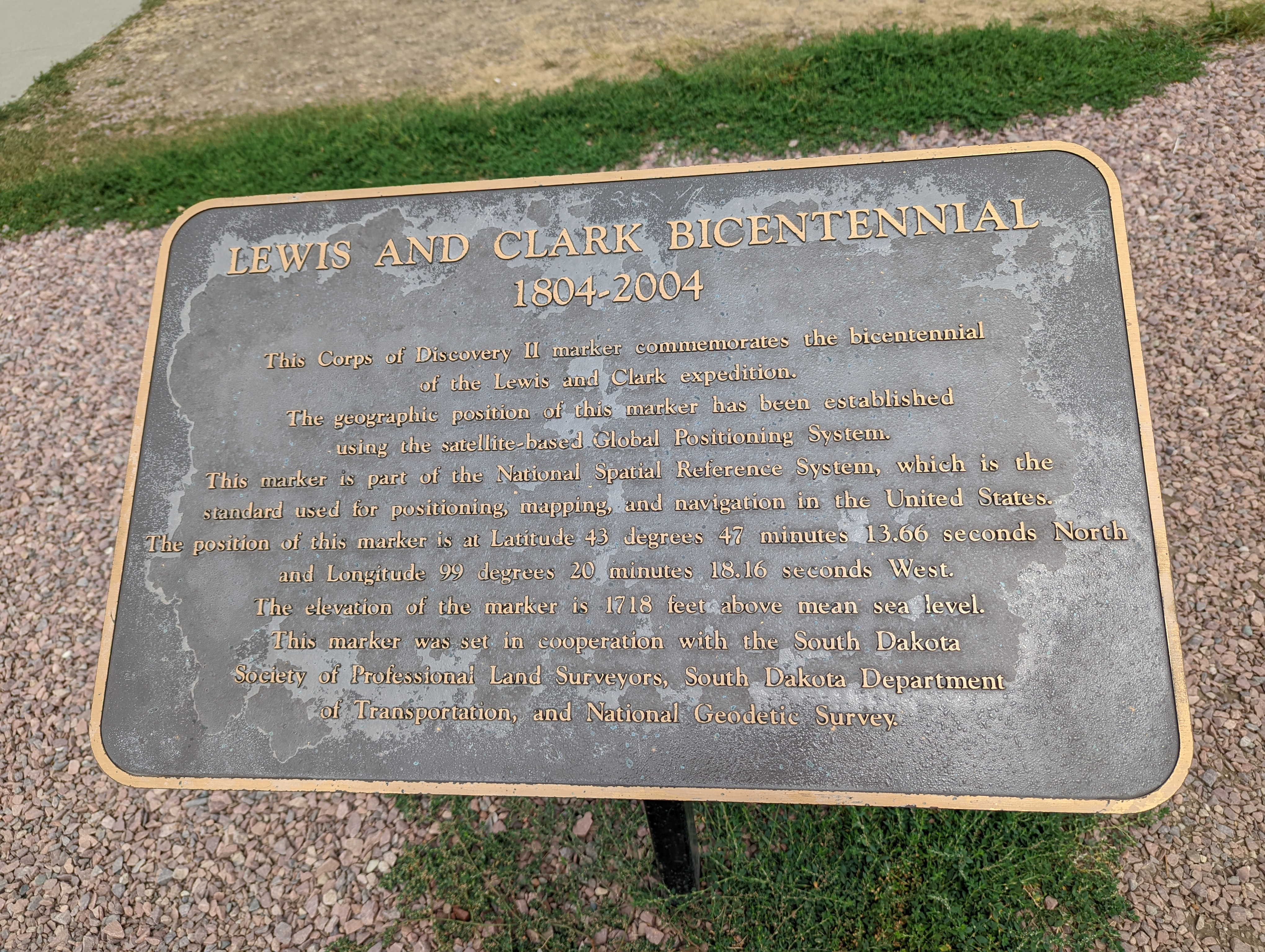
The National Spatial Reference System (NSRS), managed by the National Geodetic Survey (NGS), is a coordinate system that includes latitude, longitude, elevation, and other values. The NSRS consists of a National Shoreline, the NOAA CORS Network (a system of Global Positioning System Continuously Operating Reference Stations), a network of permanently marked points, and a set of models that describe dynamic geophysical processes affecting spatial measurements. Pre-2022, the system is based on 
NAD 83
The North American Datum (NAD) is the horizontal datum now used to define the geodetic network in North America. A datum is a formal description of the shape of the Earth along with an "anchor" point for the coordinate system. In surveying, ca ...
and NAVD 88.
In 2022, the NSRS will be modernized with a focus on GNSS and geoid use. It will use the following four frames of reference, each representing a tectonic plate:
*North American Terrestrial Reference Frame of 2022 (NATRF2022)
*Pacific Terrestrial Reference Frame of 2022 (PTRF2022)
*Caribbean Terrestrial Reference Frame of 2022 (CTRF2022)
*Mariana Terrestrial Reference Frame of 2022 (MTRF2022)
Datum of 2022
The Datum of 2022 is a placeholder name for a new geodetic datum set to be produced by the U.S. National Geodetic Survey in 2024-2025 to improve the National Spatial Reference System (NSRS) by replacing the North American Datum of 1983 (NAD 83) and theNorth American Vertical Datum of 1988
The North American Vertical Datum of 1988 (NAVD 88) is the vertical datum for orthometric heights established for vertical control surveying in the United States of America based upon the General Adjustment of the North American Datum of 1988.
...
(NAVD 88) with a new geometric reference frame and geopotential datum.
The new reference frames will rely primarily on