Lepontine Alps on:
[Wikipedia]
[Google]
[Amazon]
, topo_map= Swiss Federal Office of Topography swisstopo
, photo=MonteLeone0001.jpg
, photo_caption=Monte Leone
, country_type= Countries
, country=
, subdivision1_type= Cantons,


 The chief peaks of the Lepontine Alps are:
Regions
In geography, regions, otherwise referred to as zones, lands or territories, are areas that are broadly divided by physical characteristics (physical geography), human impact characteristics (human geography), and the interaction of humanity and t ...
, subdivision1=
, parent= Western Alps
, borders_on=
, geology=
, orogeny= Alpine orogeny
, length_mi=
, length_orientation=
, width_mi=
, width_orientation=
, highest=Monte Leone
, elevation_m=3553
, coordinates=
, range_coordinates=
, map_image=Alps locator map (Alpi Lepontini).png
, map_caption=Lepontine Alps (red)
The Lepontine Alps (german: Lepontinische Alpen, french: Alpes lépontines, it, Alpi Lepontine) are a mountain range
A mountain range or hill range is a series of mountains or hills arranged in a line and connected by high ground. A mountain system or mountain belt is a group of mountain ranges with similarity in form, structure, and alignment that have arise ...
in the north-western part of the Alps
The Alps () ; german: Alpen ; it, Alpi ; rm, Alps ; sl, Alpe . are the highest and most extensive mountain range system that lies entirely in Europe, stretching approximately across seven Alpine countries (from west to east): France, Swi ...
. They are located in Switzerland (Valais
Valais ( , , ; frp, Valês; german: Wallis ), more formally the Canton of Valais,; german: Kanton Wallis; in other official Swiss languages outside Valais: it, (Canton) Vallese ; rm, (Chantun) Vallais. is one of the 26 cantons forming the S ...
, Ticino
Ticino (), sometimes Tessin (), officially the Republic and Canton of Ticino or less formally the Canton of Ticino,, informally ''Canton Ticino'' ; lmo, Canton Tesin ; german: Kanton Tessin ; french: Canton du Tessin ; rm, Chantun dal Tessin . ...
, Uri and Graubünden) and Italy
Italy ( it, Italia ), officially the Italian Republic, ) or the Republic of Italy, is a country in Southern Europe. It is located in the middle of the Mediterranean Sea, and its territory largely coincides with the homonymous geographical ...
(Piedmont
it, Piemontese
, population_note =
, population_blank1_title =
, population_blank1 =
, demographics_type1 =
, demographics1_footnotes =
, demographics1_title1 =
, demographics1_info1 =
, demographics1_title2 ...
and Lombardy).
The Simplon rail tunnel (from Brig to Domodossola
Domodossola (; Lombard: Dòm) is a city and ''comune'' in the Province of Verbano-Cusio-Ossola, in the region of Piedmont, northern Italy. It was also known as Oscela, Oscella, Oscella dei Leponzi, Ossolo, Ossola Lepontiorum, and Domo d'Ossola ...
) the Gotthard rail (from Erstfeld
Erstfeld is a municipality in the canton of Uri in Switzerland.
History
In 1962 a collection of four gold torques and three gold arm rings were discovered near Erstfeld. While the exact origin date is unknown, they are likely from the 4th cent ...
to Bodio) and Gotthard road tunnels (from Andermatt
Andermatt ( rm, ) is a mountain village and municipality in the canton of Uri in Switzerland. At an elevation of above sea level, Andermatt is located at the center of the Saint-Gotthard Massif and the historical center cross of north-south and e ...
to Airolo) and the San Bernardino road tunnel are important transport arteries.
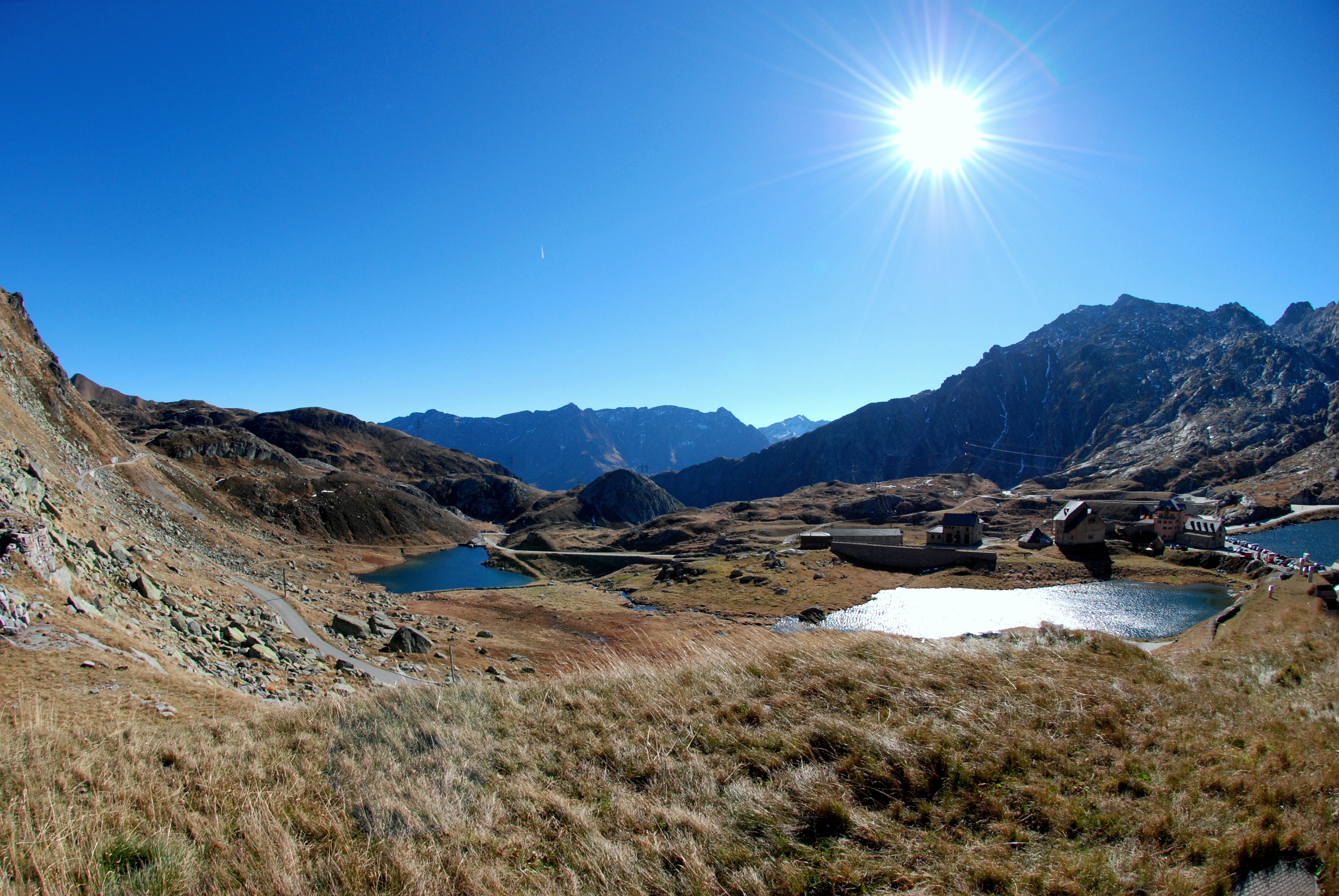
The eastern portion of the Lepontine Alps, from the St Gotthard Pass
german: Gotthardpass
, photo = File:Gotthardpass 2008.jpg
, photo_caption = The area of the Gotthard Pass from the west
, elevation_m = 2106
, elevation_ref =
, traversed = National Road 2 Old paved road ( Tremola) Gotthard Rail Tunnel Go ...
to the Splügen Pass
The Splügen Pass (german: Splügenpass; it, Passo dello Spluga; rm, Pass dal Spleia ) is an Alpine mountain pass of the Lepontine Alps. It connects the Swiss, Grisonian Splügen to the north below the pass with the Italian Chiavenna to the ...
, is sometimes named the ''Adula Alps'', while the western part is historically referred to as the ''Ticino Alps''.
Etymology
The designation ''Lepontine Alps'', derived from the Latin name of the Val Leventina, has long been somewhat vaguely applied to the Alpine ranges that enclose it, before being used for the whole range.Geography
Following the line marking the division of the waters that flow into the Po from those that feed the Rhone or theRhine
), Surselva, Graubünden, Switzerland
, source1_coordinates=
, source1_elevation =
, source2 = Rein Posteriur/Hinterrhein
, source2_location = Paradies Glacier, Graubünden, Switzerland
, source2_coordinates=
, so ...
, the main ridge of the Lepontine Alps describes a somewhat irregular curve, convex to the north, from the Simplon Pass to the Splugen Pass. With the single exception of the Monte Leone, overlooking the pass of the Simplon, the summits of this portion of the chain are much inferior in height to those of the neighbouring chains; but two peaks of the Adula group, culminating at the Rheinwaldhorn, exceed in height.
The extensive region lying south of the main ridge is occupied by mountain ranges whose summits sometimes rival in height those of the dividing ridge, and which are cut through by deep valleys, three of which converge in the basins of Lake Maggiore
Lake Maggiore (, ; it, Lago Maggiore ; lmo, label=Western Lombard, Lagh Maggior; pms, Lagh Magior; literally 'Greater Lake') or Verbano (; la, Lacus Verbanus) is a large lake located on the south side of the Alps. It is the second largest l ...
and Lake Como, the deepest of all the lakes on the south side of the Alps. The most important of these valleys is the Val Leventina
The Leventina District is one of the eight districts of the largely Italian-speaking canton of Ticino in Switzerland. The capital of the district is Faido but the largest town is Airolo on the southern flank of the Gotthard Pass.
Situated to th ...
, or the Upper valley of the Ticino
Ticino (), sometimes Tessin (), officially the Republic and Canton of Ticino or less formally the Canton of Ticino,, informally ''Canton Ticino'' ; lmo, Canton Tesin ; german: Kanton Tessin ; french: Canton du Tessin ; rm, Chantun dal Tessin . ...
. This has been known from a remote antiquity because it leads to the Pass of St Gotthard, one of the easiest lines of communication between northern and southern Europe.
The Lepontine Alps are drained by the rivers Rhône
The Rhône ( , ; wae, Rotten ; frp, Rôno ; oc, Ròse ) is a major river in France and Switzerland, rising in the Alps and flowing west and south through Lake Geneva and southeastern France before discharging into the Mediterranean Sea. At Ar ...
in the west, Reuss in the north, Rhine
), Surselva, Graubünden, Switzerland
, source1_coordinates=
, source1_elevation =
, source2 = Rein Posteriur/Hinterrhein
, source2_location = Paradies Glacier, Graubünden, Switzerland
, source2_coordinates=
, so ...
(Vorderrhein and Hinterrhein) in the east and Ticino
Ticino (), sometimes Tessin (), officially the Republic and Canton of Ticino or less formally the Canton of Ticino,, informally ''Canton Ticino'' ; lmo, Canton Tesin ; german: Kanton Tessin ; french: Canton du Tessin ; rm, Chantun dal Tessin . ...
and Toce
The Toce () is a river in Piedmont, Italy, which stretches the length of the Val d'Ossola from the Swiss border to Lake Maggiore into which it debouches near Fondotoce in the commune of Verbania. The river is long and is formed in the upper V ...
in the south.
List of peaks


 The chief peaks of the Lepontine Alps are:
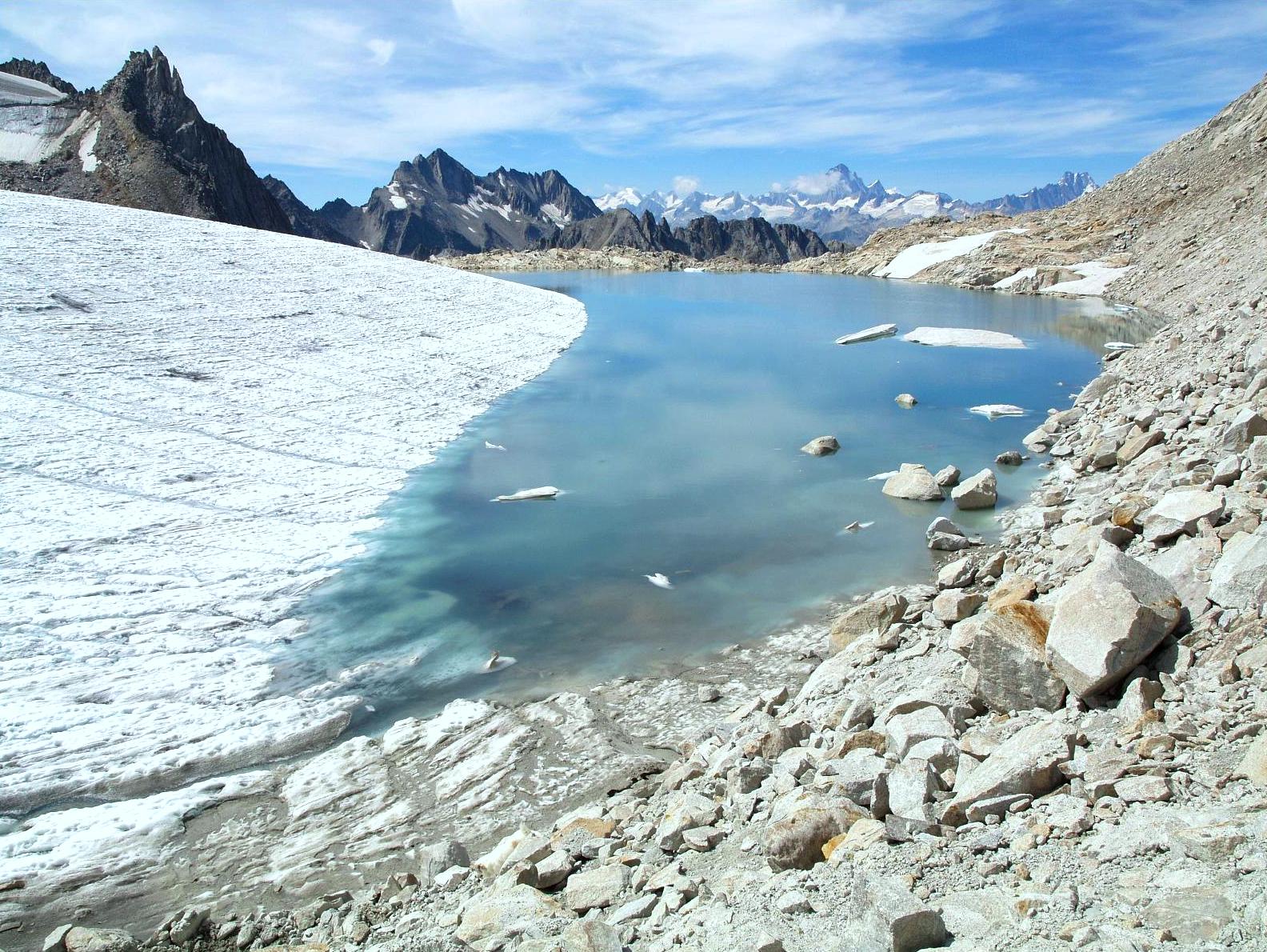
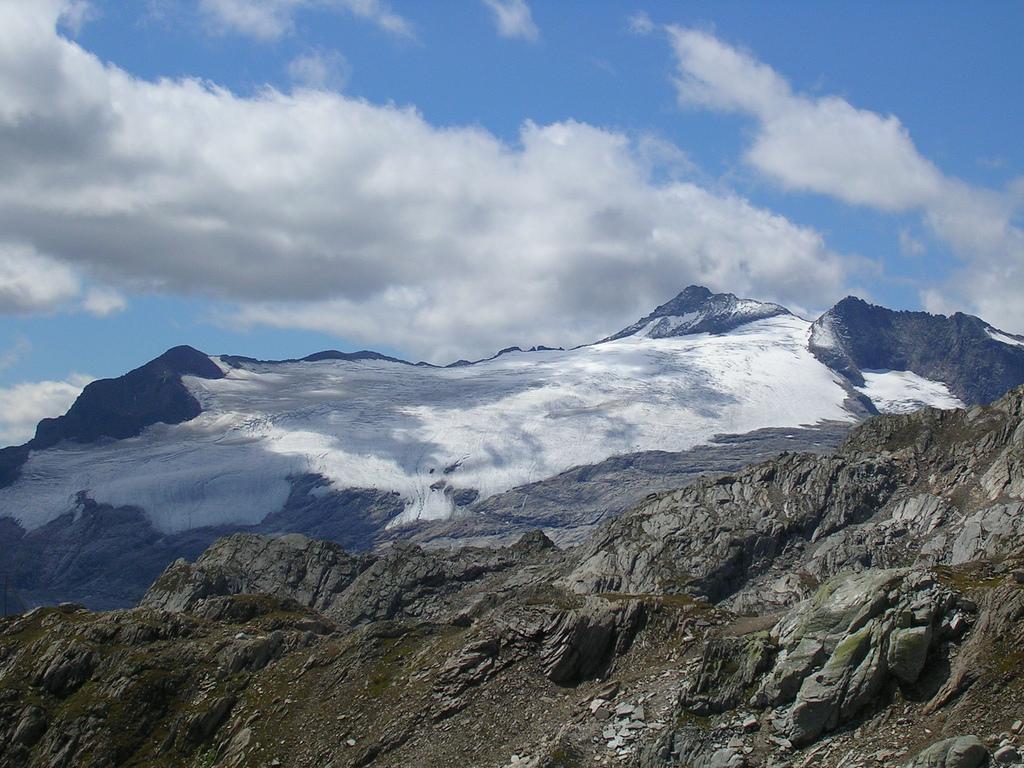
Glaciers
Mainglacier
A glacier (; ) is a persistent body of dense ice that is constantly moving under its own weight. A glacier forms where the accumulation of snow exceeds its ablation over many years, often centuries. It acquires distinguishing features, such as ...
s :
* Gries Glacier
* Paradies Glacier
* Basòdino Glacier
List of passes
The chief passes of the Lepontine Alps are:See also
* Swiss AlpsReferences
* {{Authority control Mountain ranges of the Alps Mountain ranges of Lombardy Mountain ranges of Piedmont Mountain ranges of Graubünden Landforms of Valais Mountain ranges of Switzerland Mountain ranges of Italy Landforms of Ticino Graubünden–Ticino border Ticino–Valais border Ticino–Uri border Landforms of the canton of Uri