Clothier Harbour on:
[Wikipedia]
[Google]
[Amazon]

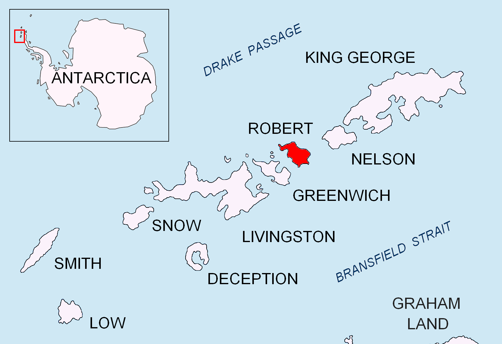
 Clothier Harbour is the 1.5 km wide bay indenting for 1 km the north coast of
SCAR Composite Antarctic Gazetteer
Landforms of Robert Island Bays of the South Shetland Islands {{RobertIsland-geo-stub

 Clothier Harbour is the 1.5 km wide bay indenting for 1 km the north coast of
 Robert Island
Robert Island or Mitchells Island or Polotsk Island or Roberts Island is an island long and wide, situated between Nelson Island and Greenwich Island in the South Shetland Islands, Antarctica. Robert Island is located at . Surface area . ...
in the South Shetland Islands
The South Shetland Islands are a group of Antarctic islands with a total area of . They lie about north of the Antarctic Peninsula, and between southwest of the nearest point of the South Orkney Islands. By the Antarctic Treaty of 195 ...
, Antarctica
Antarctica () is Earth's southernmost and least-populated continent. Situated almost entirely south of the Antarctic Circle and surrounded by the Southern Ocean, it contains the geographic South Pole. Antarctica is the fifth-largest co ...
between Hammer Point on the northeast and Onogur Islands
Onogur Islands ( bg, Оногурски острови, ‘Onogurski ostrovi’ \o-no-'gur-ski 'os-tro-vi\) is the group of nine islands and some islets and rocks adjacent to the northwest coast of Robert Island in the South Shetland Islands, Ant ...
on the southwest. The harbour was used as a safe base by American sealing ships in 1820–21.
The bay was discovered, charted and named by American sealers after the vessel ''Clothier'' under Captain Clark, which sank there in December 1820.
Location
The harbour's midpoint is located at (British mapping in 1821, 1822 and 1968, Argentine in 1949, Chilean in 1962, and Bulgarian in 2009).See also
*Robert Island
Robert Island or Mitchells Island or Polotsk Island or Roberts Island is an island long and wide, situated between Nelson Island and Greenwich Island in the South Shetland Islands, Antarctica. Robert Island is located at . Surface area . ...
* South Shetland Islands
The South Shetland Islands are a group of Antarctic islands with a total area of . They lie about north of the Antarctic Peninsula, and between southwest of the nearest point of the South Orkney Islands. By the Antarctic Treaty of 195 ...
Map
* L.L. Ivanov. Antarctica: Livingston Island and Greenwich, Robert, Snow and Smith Islands. Scale 1:120000 topographic map. Troyan: Manfred Wörner Foundation, 2010. (First edition 2009. )References
SCAR Composite Antarctic Gazetteer
Landforms of Robert Island Bays of the South Shetland Islands {{RobertIsland-geo-stub