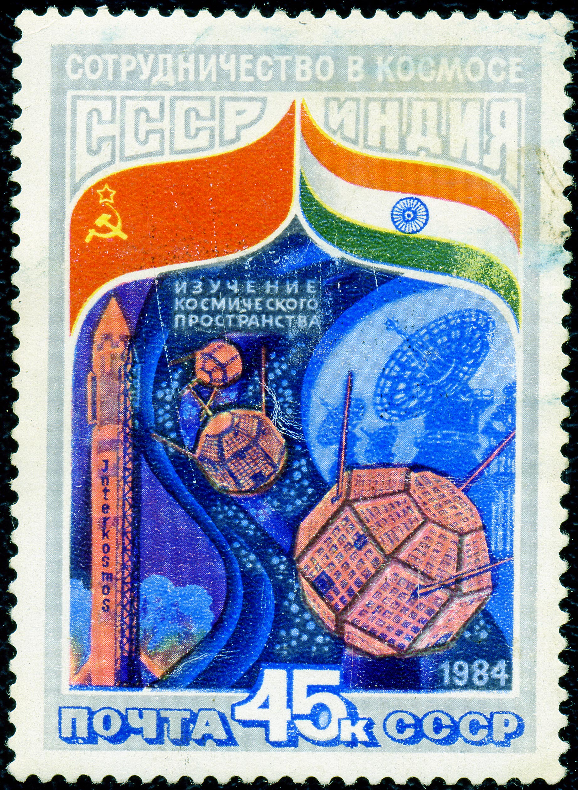
Bhaskara (satellite) on:
[Wikipedia]
[Google]
[Amazon]
Bhaskara-I and -II were two satellites built by the
The satellite consisted of: *Two

Indian Space Research Organisation
The Indian Space Research Organisation (ISRO ) is India's national List of government space agencies, space agency, headquartered in Bengaluru, Karnataka. It serves as the principal research and development arm of the Department of Space (DoS), ...
that formed India's first low-Earth orbit
A low Earth orbit (LEO) is an orbit around Earth with a period of 128 minutes or less (making at least 11.25 orbits per day) and an eccentricity less than 0.25. Most of the artificial objects in outer space are in LEO, peaking in number at an ...
Earth observation satellite
An Earth observation satellite or Earth remote sensing satellite is a satellite used or designed for Earth observation (EO) from orbit, including spy satellites and similar ones intended for non-military uses such as environmental monitoring, me ...
. They collected data on oceanography and hydrology. The satellites are named after the ancient Indian mathematicians Bhāskara I
Bhāskara (; commonly called Bhāskara I to avoid confusion with the 12th-century mathematician Bhāskara II) was a 7th-century Indian mathematician and astronomer who was the first to write numbers in the Hindu–Arabic decimal system with a ...
and Bhāskara II
Bhāskara II ('; 1114–1185), also known as Bhāskarāchārya (), was an Indian people, Indian polymath, Indian mathematicians, mathematician, astronomer and engineer. From verses in his main work, Siddhānta Śiromaṇi, it can be inferre ...
. R. M. Vasagam was the project director.
Bhaskara-I
Bhaskara-I, weighing 444 kg at launch, was launched on 7 June 1979 fromKapustin Yar
Kapustin Yar () is a Russian military training area and a rocket launch complex in Astrakhan Oblast, about 100 km east of Volgograd. It was established by the Soviet Union on 13 May 1946. In the beginning, Kapustin Yar used technology, material ...
aboard the Intercosmos launch vehicle. It was placed in an orbital perigee
An apsis (; ) is the farthest or nearest point in the orbit of a planetary body about its primary body. The line of apsides (also called apse line, or major axis of the orbit) is the line connecting the two extreme values.
Apsides perta ...
and apogee
An apsis (; ) is the farthest or nearest point in the orbit of a planetary body about its primary body. The line of apsides (also called apse line, or major axis of the orbit) is the line connecting the two extreme values.
Apsides perta ...
of 394 km and 399 km at an inclination of 50.7°.Bharat-rakshak.com Indian satellite systemsThe satellite consisted of: *Two
television camera
A professional video camera (often called a television camera even though its use has spread beyond television) is a high-end device for creating electronic moving images (as opposed to a movie camera, that earlier recorded the images on filmstoc ...
s operating in visible (600 nanometre) and near-infrared (800 nanometre) that collected data related to hydrology
Hydrology () is the scientific study of the movement, distribution, and management of water on Earth and other planets, including the water cycle, water resources, and drainage basin sustainability. A practitioner of hydrology is called a hydro ...
, forestry
Forestry is the science and craft of creating, managing, planting, using, conserving and repairing forests and woodlands for associated resources for human and Natural environment, environmental benefits. Forestry is practiced in plantations and ...
and geology
Geology (). is a branch of natural science concerned with the Earth and other astronomical objects, the rocks of which they are composed, and the processes by which they change over time. Modern geology significantly overlaps all other Earth ...
.
*Satellite microwave radiometer (SAMIR) operating at 19 and 22 GHz for study of ocean-state, water vapour, liquid water content in the atmosphere, etc.
* An X-ray sky monitor operating in 2-10 keV energy range, to detect transient X-ray sources and monitor long-term spectral and intensity changes in the X-ray sources.
Bhaskara-II
The satellite provided ocean and land surface data. It orbited at 541 × 557 km with an inclination of 50.7°. While one of two onboard cameras malfunctioned, the satellite still sent back more than two thousand images. Housekeeping telemetry was received until re-entry in 1991.
See also
*List of Indian satellites
This list covers most artificial satellites built and operated by the Republic of India. India has been successfully launching satellites of various types from 1975. Apart from Indian rockets, these satellites have been launched from various v ...
References