|
Windham, New York
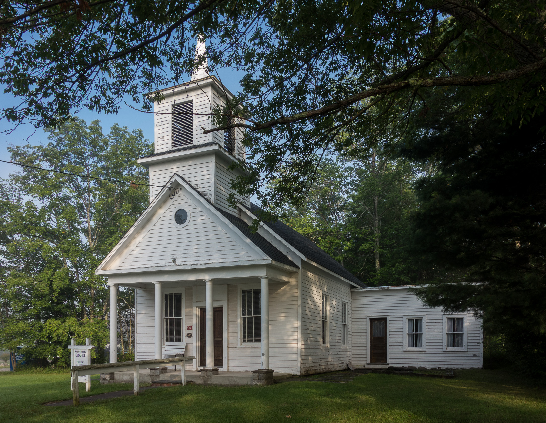
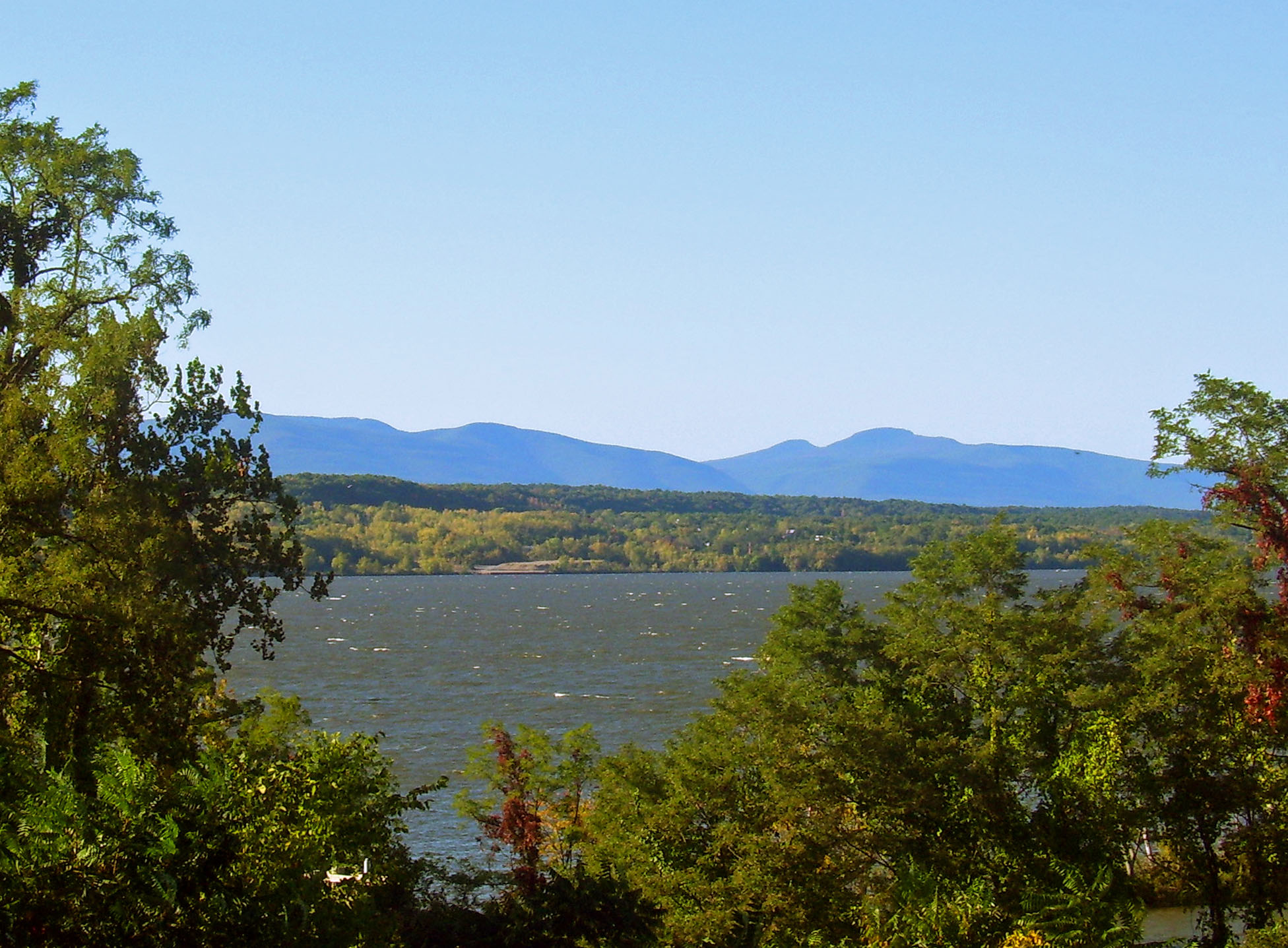
Windham is a town in Greene County, New York, United States. The population was 1,703 at the 2010 census. The town was probably named for the town or county of Windham, Connecticut, as many of its earliest settlers came from that state as well as other parts of New England. The town has two nicknames: "Land in the Sky" and "Gem of the Catskills". Windham is in the west-central part of the county on the northern boundary of the Catskill Park. History The region was first settled around 1780. The town was formed from the town of Woodstock in 1798 while still part of Ulster County. After the formation of Greene County, several other towns were formed from parts of Windham. These towns include Hunter and Lexington (1813), Prattsville (1833), and part of Ashland in 1848. In 1900, the town's population was 1,240. In 1937, Camp Highland, a Nazi summer camp for German-American boys, ran at a site near Windham, NY. The major source of income in Windham is the Windham Mountain ski ... [...More Info...] [...Related Items...] OR: [Wikipedia] [Google] [Baidu] |
Administrative Divisions Of New York
The administrative divisions of New York are the various units of government that provide local services in the State of New York. The state is divided into boroughs, counties, cities, townships called "towns", and villages. (The only boroughs, the five boroughs of New York City, have the same boundaries as their respective counties.) They are municipal corporations, chartered (created) by the New York State Legislature, as under the New York Constitution the only body that can create governmental units is the state. All of them have their own governments, sometimes with no paid employees, that provide local services. Centers of population that are not incorporated and have no government or local services are designated hamlets. Whether a municipality is defined as a borough, city, town, or village is determined not by population or land area, but rather on the form of government selected by the residents and approved by the New York Legislature. Each type of local government ... [...More Info...] [...Related Items...] OR: [Wikipedia] [Google] [Baidu] |
New England
New England is a region comprising six states in the Northeastern United States: Connecticut, Maine, Massachusetts, New Hampshire, Rhode Island, and Vermont. It is bordered by the state of New York to the west and by the Canadian provinces of New Brunswick to the northeast and Quebec to the north. The Atlantic Ocean is to the east and southeast, and Long Island Sound is to the southwest. Boston is New England's largest city, as well as the capital of Massachusetts. Greater Boston is the largest metropolitan area, with nearly a third of New England's population; this area includes Worcester, Massachusetts (the second-largest city in New England), Manchester, New Hampshire (the largest city in New Hampshire), and Providence, Rhode Island (the capital of and largest city in Rhode Island). In 1620, the Pilgrims, Puritan Separatists from England, established Plymouth Colony, the second successful English settlement in America, following the Jamestown Settlement in Virginia foun ... [...More Info...] [...Related Items...] OR: [Wikipedia] [Google] [Baidu] |
Schoharie Creek
Schoharie Creek is a river in New York that flows north from the foot of Indian Head Mountain in the Catskills through the Schoharie Valley to the Mohawk River. It is twice impounded north of Prattsville to create New York City's Schoharie Reservoir and the Blenheim-Gilboa Power Project. During the American Revolutionary War, Iroquois Indian attacks against the cluster of farms in the valley of the Cobleskill Creek tributary was the site of the Cobleskill Massacre (May 1778), virtually depopulating settlements in the southern Mohawk valley. News of this and two other mixed Tory-Indian guerrilla attacks led to an appropriation of funds for the Sullivan Expedition dispatched by General Washington in 1779 to break the threat of Indian raids. The Erie Canal crossed over the creek by an aqueduct at Schoharie Crossing State Historic Site. Two notable bridge collapses have occurred on Schoharie Creek. In 1987, two spans of the New York State Thruway collapsed. On August 28, 20 ... [...More Info...] [...Related Items...] OR: [Wikipedia] [Google] [Baidu] |
Catskill Mountains
The Catskill Mountains, also known as the Catskills, are a physiographic province of the larger Appalachian Mountains, located in southeastern New York. As a cultural and geographic region, the Catskills are generally defined as those areas close to or within the borders of the Catskill Park, a forest preserve protected from many forms of development under New York state law. Geologically, the Catskills are a mature dissected plateau, a flat region subsequently uplifted and eroded into sharp relief by watercourses. The Catskills form the northeastern end of the Allegheny Plateau (also known as the Appalachian Plateau). The Catskills were named by early Dutch settlers. They are well known in American society as the setting for films and works of art, including many 19th-century Hudson River School paintings, as well as for being a favored destination for vacationers from New York City in the mid-20th century. The region's many large resorts gave many young stand-up comedian ... [...More Info...] [...Related Items...] OR: [Wikipedia] [Google] [Baidu] |
United States Census Bureau
The United States Census Bureau (USCB), officially the Bureau of the Census, is a principal agency of the U.S. Federal Statistical System, responsible for producing data about the American people and economy. The Census Bureau is part of the U.S. Department of Commerce and its director is appointed by the President of the United States. The Census Bureau's primary mission is conducting the U.S. census every ten years, which allocates the seats of the U.S. House of Representatives to the states based on their population. The bureau's various censuses and surveys help allocate over $675 billion in federal funds every year and it assists states, local communities, and businesses make informed decisions. The information provided by the census informs decisions on where to build and maintain schools, hospitals, transportation infrastructure, and police and fire departments. In addition to the decennial census, the Census Bureau continually conducts over 130 surveys and programs ... [...More Info...] [...Related Items...] OR: [Wikipedia] [Google] [Baidu] |
Hurricane Irene
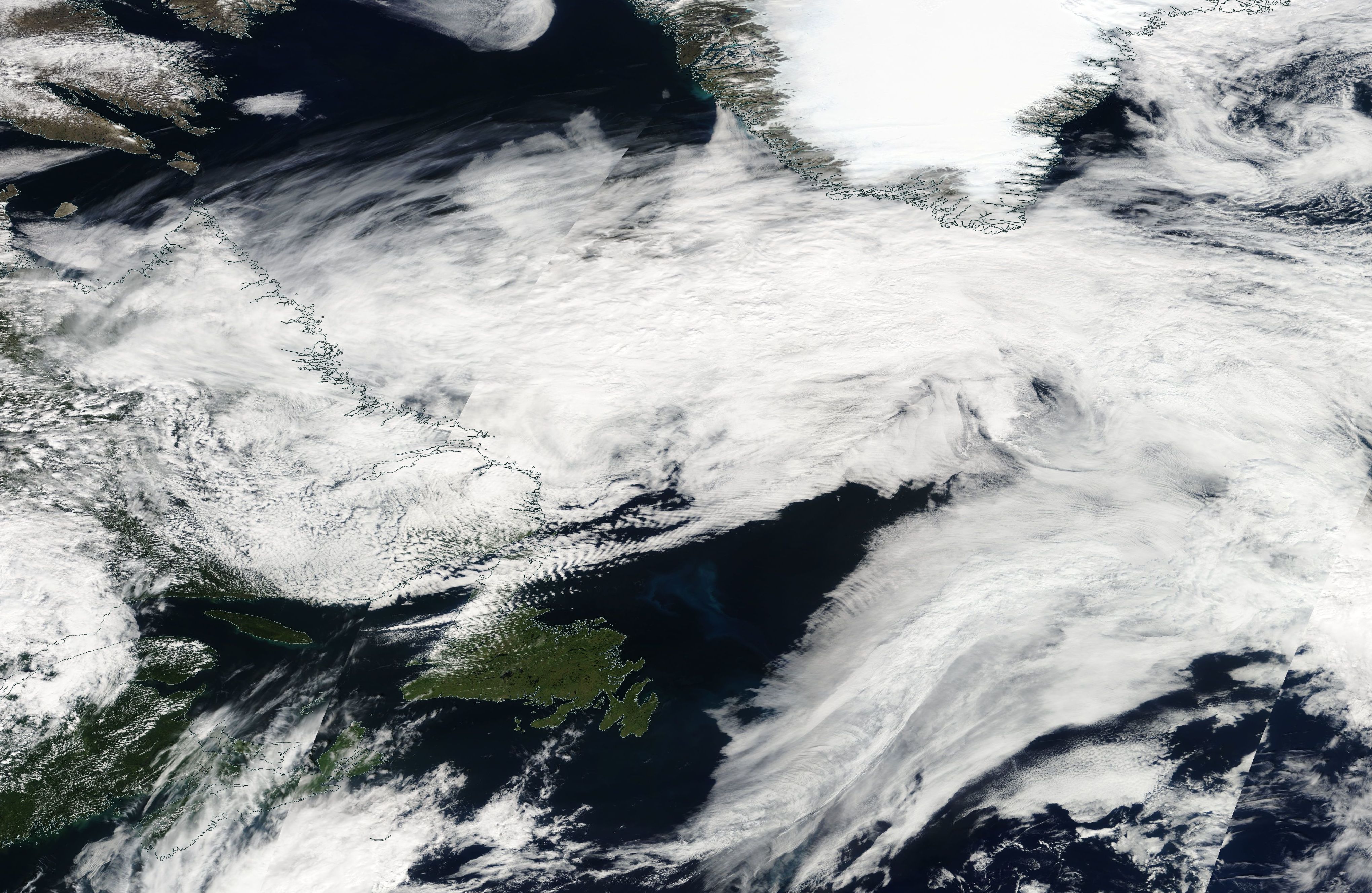
Hurricane Irene was a large and destructive tropical cyclone which affected much of the Caribbean and East Coast of the United States during late August 2011. The ninth named storm, first hurricane, and first major hurricane of the 2011 Atlantic hurricane season, Irene originated from a well-defined Atlantic tropical wave that began showing signs of organization east of the Lesser Antilles. Due to development of atmospheric convection and a closed center of circulation, the system was designated as Tropical Storm Irene on August 20, 2011. After intensifying, Irene made landfall in St. Croix as a strong tropical storm later that day. Early on August 21, the storm made a second landfall in Puerto Rico. While crossing the island, Irene strengthened into a Category 1 hurricane. The storm paralleled offshore of Hispaniola, continuing to slowly intensify in the process. Shortly before making four landfalls in the Bahamas, Irene peaked as a Category 3 hurricane. Th ... [...More Info...] [...Related Items...] OR: [Wikipedia] [Google] [Baidu] |
Northeastern United States
The Northeastern United States, also referred to as the Northeast, the East Coast, or the American Northeast, is a geographic region of the United States. It is located on the Atlantic coast of North America, with Canada to its north, the Southern United States to its south, and the Midwestern United States to its west. The Northeast is one of the four regions defined by the U.S. Census Bureau for the collection and analysis of statistics. The region is usually defined as including nine U.S. states: Connecticut, Maine, Massachusetts, New Hampshire, New Jersey, New York, Pennsylvania, Rhode Island, and Vermont. The U.S. Census Bureau–defined region of the Northeastern United States has a total area of with of that being land mass, making it the smallest region of the United States by both land mass and total area. The Northeastern region is the nation's most economically developed, densely populated, and culturally diverse region. Of the nation's four census regions, the No ... [...More Info...] [...Related Items...] OR: [Wikipedia] [Google] [Baidu] |
Windham Mountain
Windham Mountain is a ski resort located in the town of Windham, New York (US), in the northern section of the Catskill Mountains, approximately 2.5 hours north of New York City. Windham Mountain is the closest big mountain skiing to the city. It has 54 trails and 12 lifts, including four high-speed detachable lifts. One being a express 6 Pack and three high speed detachable quads. The resort stretches across two mountains, The highest peak is situated at with a vertical rise of from the base. Snowmaking covers 98% of the trail area of . The resort has 6 terrain parks that are great for all skill levels of park skiing. History The New York state assembly considered opening a state-run ski resort on Windham (then called Cave Mountain) in the late 1950s. That project never advanced, but instead, a group of private investors bought the land and opened Cave Mountain Ski Area in 1960. Three years later, ownership was transferred to Bob, James and Tom Sheridan, who opened a ski lo ... [...More Info...] [...Related Items...] OR: [Wikipedia] [Google] [Baidu] |
Ashland, Greene County, New York
Ashland is a town in Greene County, New York, United States. The population was 682 in the 2020 US census,US Census Bureau, 2020 census, Ashland town, Greene County, New York https://www.census.gov/search-results.html?searchType=web&cssp=SERP&q=Ashland%20town,%20Greene%20County,%20New%20York Accessed, November 6, 2022 down from 784 in the 2010 census. Ashland is in the northwestern part of the county. History Early settlements were abandoned during the American Revolution, but the town was re-settled in 1788. The town was created from parts of the towns of Windham and Prattsville in 1848. In 1890, the population was 560. Geography According to the United States Census Bureau, the town has a total area of , all land. The town is at the northern border of the Catskill Park. The northern town line is the border of Schoharie County. Demographics 2000 As of the census of 2000, there were 752 people, 304 households, and 214 families residing in the town. The population d ... [...More Info...] [...Related Items...] OR: [Wikipedia] [Google] [Baidu] |
Prattsville, New York
Prattsville is a town in Greene County, New York, United States. The town is in the northwestern part of the county. As of the 2020 census, the population was 774. History The area of the town was first settled around 1763, and the region was then called "Schoharie Kill". An attempt during the American Revolution by the British and their Loyalist allies to drive the settlers out was thwarted when they were defeated by the settlers. Prattsville was established in 1824 from the town of Windham. Some of the town was lost to form the town of Ashland in 1848. Prattsville was later named after Zadock Pratt, a congressman and prominent citizen. Pratt built a tannery larger than any other in the world at the time, helping it become a major town in upstate New York. His life is depicted through as series of stone carvings called Pratt Rock which he commissioned during his lifetime. The 1830 population of the town was 830. When Pratt built his tannery, it created a vast number of ... [...More Info...] [...Related Items...] OR: [Wikipedia] [Google] [Baidu] |
Lexington, New York
Lexington is a town in Greene County, New York, United States. The population was 770 at the 2020 census.US Census Bureau, 2020 Census, Lexington town, Greene County, New York https://www.census.gov/search-results.html?searchType=web&cssp=SERP&q=Lexington%20town,%20Greene%20County,%20New%20York The town is in the southwestern part of Greene County. History The area was first settled ''circa'' 1788. The town of Lexington was established in 1813, as the "Town of New Goshen", from the town of Windham. Within a few months, the name was altered to "Lexington". Geography According to the United States Census Bureau, the town has a total area of , of which is land and , or 0.04%, is water. Lexington is within the Catskill Mountains; most of the town is also inside the Catskill Park Blue Line. The southern town line is the border of Ulster County. Schoharie Creek flows through the town. The West Kill, an tributary of the Schoharie, drains much of the town. The summit of West ... [...More Info...] [...Related Items...] OR: [Wikipedia] [Google] [Baidu] |
Hunter (town), New York
Hunter is a town located in Greene County, New York, United States. The population was 2,732 at the time of the 2010 census. The town contains three villages, one named Hunter on the west , another is Lanesville on the southern side of Hunter, and the third called Tannersville the largest and center of the town. The town is on the southern border of Greene County with Lanesville Village adjacent to Ulster County. The Hamlet of Haines Falls is on the east of the town. History The town was formed on January 27, 1813 from the town of Windham, but was then called "Edwardsville". The name of "Hunter" was assumed in 1814, named after John Hunter. Afterwards, the town lost some territory to the town of Saugerties in 1814 and to Jewett in 1849. The area became a popular tourism destination in the late 19th and early 20th centuries. It was served by the Ulster and Delaware Railroad, which brought tourists to resort towns throughout the Catskill Mountains. Geography Accordin ... [...More Info...] [...Related Items...] OR: [Wikipedia] [Google] [Baidu] |


