|
U.S. Route 63 In Arkansas
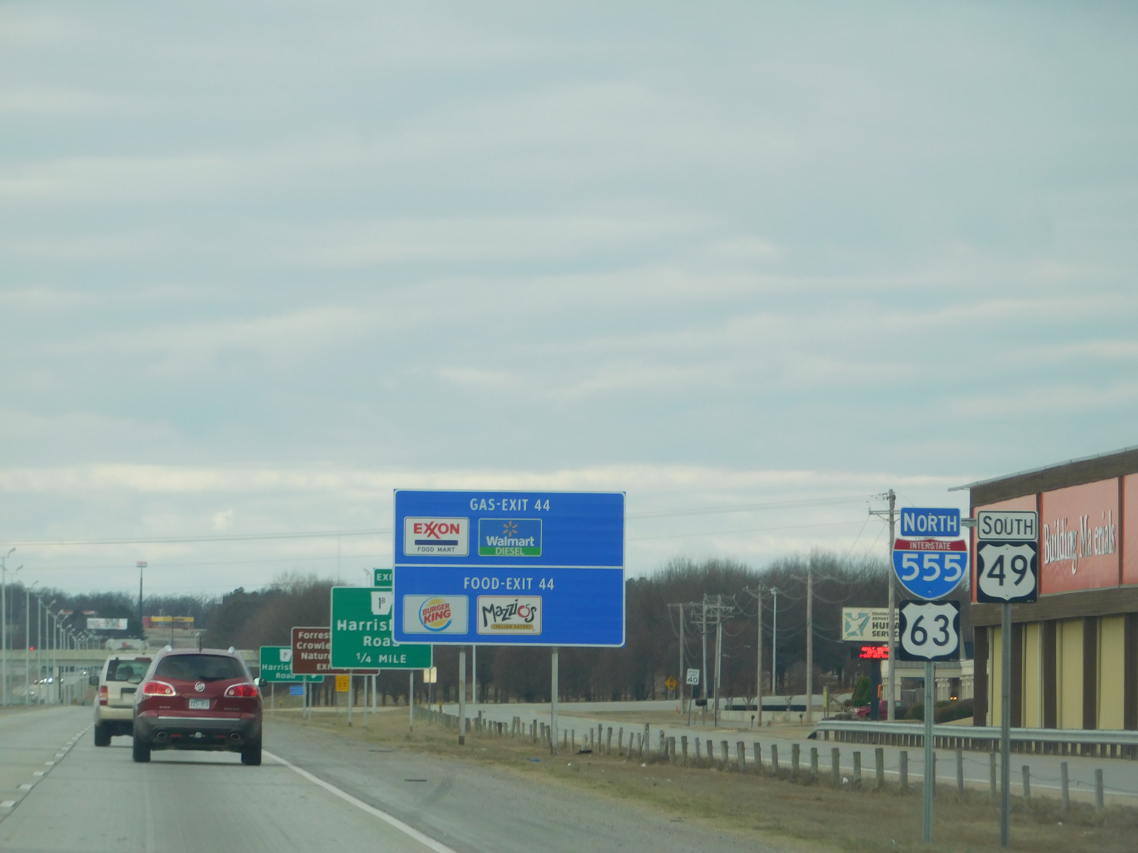
U.S. Highway 63 (US 63) is a north-south U.S. highway that begins in Ruston, LA. In the US state of Arkansas the highway enters the state from Louisiana concurrent with US 167 in Junction City. The highway runs north through the eastern part of the state, serving rural areas of South Arkansas and the Arkansas Delta, as well as Pine Bluff and Jonesboro. The highway exits the state at Mammoth Spring traveling into Missouri. Route description U.S. 63 enters into Arkansas from Louisiana concurrent with US 167 in Junction City. Just a few miles into the state, the two highways run on the eastern edge of El Dorado as an expressway. US 167 splits here, traveling towards Hampton. US 63 bypasses the town of Warren, crossing US 270. US 63 passes through the rural Cleveland County, then enters into Jefferson County. In Jefferson County, US 63 serves the city of Pine Bluff. US 63 bypasses the city, running on the last 3 miles of I-530. Also in Pine Bluff, the highway overlaps wit ... [...More Info...] [...Related Items...] OR: [Wikipedia] [Google] [Baidu] |
Junction City, Arkansas
Junction City is a city in Union County, Arkansas, United States, and is the twin city of neighboring Junction City, Louisiana. The population was 581 at the 2010 census. Geography Junction City is located at (33.019174, -92.722915). It is the southernmost settlement in the state of Arkansas. According to the United States Census Bureau, the city has a total area of , all land. Demographics 2020 census As of the 2020 United States census, there were 503 people, 271 households, and 202 families residing in the city. 2000 census At the 2000 census there were 721 people in 251 households, including 186 families, in the city. The population density was . There were 288 housing units at an average density of . The racial makeup of the city was 55.20% White, 43.00% Black or African American, 0.55% Native American, 0.14% Asian, and 1.11% from two or more races. 0.69% of the population were Hispanic or Latino of any race. Of the 251 households 34.3% had children under th ... [...More Info...] [...Related Items...] OR: [Wikipedia] [Google] [Baidu] |
Cross County, Arkansas
Cross County is a rural Northeast Arkansas county in the Arkansas Delta. Created as Arkansas's 53rd county on November 15, 1862, Cross County contains four incorporated municipality, municipalities, including Wynne, Arkansas, Wynne, the county seat and most populous city. It is named for Confederate States of America, Confederate Colonel (United States), Colonel David C. Cross, a political leader in the area. The county is largely flat and fertile, mostly used for row crop, row agriculture typical of the rich alluvial soils of the Arkansas Delta. Crowley's Ridge, a forested deposit of loess hills rising from the flat Delta bisects the county from north to south, including part of Wynne and most of Village Creek State Park (Arkansas), Village Creek State Park, the county's primary protected area of ecological value. Historical and cultural features range from Parkin Archeological State Park, which preserves a prehistoric Native Americans in the United States, Native American Moun ... [...More Info...] [...Related Items...] OR: [Wikipedia] [Google] [Baidu] |
El Dorado, Arkansas
El Dorado, founded by Matthew Rainey, is a city in, and the county seat of, Union County, on the southern border of Arkansas, United States. According to the 2010 census, the population of the city is 18,884. El Dorado is headquarters of the Arkansas Oil and Gas Commission as well as Murphy USA, Deltic Timber Corporation and a DelekUS oil refinery. The city has a downtown arts district, the Murphy Arts District (MAD); a community college, South Arkansas Community College (SouthArk); and a multi-cultural arts center, South Arkansas Arts Center (SAAC). El Dorado is the population, cultural and business center of south central Arkansas. The city was the heart of the 1920s oil boom in the area. During World War II, it became a center of the chemical industry, which still plays a part in the economy, as do oil and timber. History Timeline * 1829, the territorial legislature took sections of Hempstead and Clark counties to establish Union County. * 1843, Matthew Rainey founded and ... [...More Info...] [...Related Items...] OR: [Wikipedia] [Google] [Baidu] |
Missouri
Missouri is a state in the Midwestern region of the United States. Ranking 21st in land area, it is bordered by eight states (tied for the most with Tennessee): Iowa to the north, Illinois, Kentucky and Tennessee to the east, Arkansas to the south and Oklahoma, Kansas and Nebraska to the west. In the south are the Ozarks, a forested highland, providing timber, minerals, and recreation. The Missouri River, after which the state is named, flows through the center into the Mississippi River, which makes up the eastern border. With more than six million residents, it is the 19th-most populous state of the country. The largest urban areas are St. Louis, Kansas City, Springfield and Columbia; the capital is Jefferson City. Humans have inhabited what is now Missouri for at least 12,000 years. The Mississippian culture, which emerged at least in the ninth century, built cities and mounds before declining in the 14th century. When European explorers arrived in the 17t ... [...More Info...] [...Related Items...] OR: [Wikipedia] [Google] [Baidu] |
Arkansas Delta
The Arkansas Delta is one of the six natural regions of the state of Arkansas. Willard B. Gatewood Jr., author of ''The Arkansas Delta: Land of Paradox'', says that rich cotton lands of the Arkansas Delta make that area "The Deepest of the Deep South." The region runs along the Mississippi River from Eudora north to Blytheville and as far west as Little Rock. It is part of the Mississippi embayment, itself part of the Mississippi River Alluvial Plain. The flat plain is bisected by Crowley's Ridge, a narrow band of rolling hills rising above the flat delta plains. Several towns and cities have been developed along Crowley's Ridge, including Jonesboro. The region's lower western border follows the Arkansas River just outside Little Rock down through Pine Bluff. There the border shifts to Bayou Bartholomew, stretching south to the Arkansas-Louisiana state line. While the Arkansas Delta shares many geographic similarities with the Mississippi Delta, it is distinguished by it ... [...More Info...] [...Related Items...] OR: [Wikipedia] [Google] [Baidu] |
South Arkansas
South Arkansas lies within the southernmost portions of Arkansas Gulf Coastal Plain and Delta regions. It encompasses the lower 15 counties of the state. History In the 1920s, nationwide attention focused on South Arkansas when the Smackover Field was ranked first among the nation's oil fields. For five months in 1925, the Smackover Field was the focal point of one of the wildest mineral booms in North America. Today, south Arkansas's oil fields produce petroleum throughout a 10-county area. Columbia and Union counties also stretch over one of the largest Brine reserves in the world. Bromine is derived from brine, or saltwater, and local companies play an international role in the commercialization of bromine and its many applications. Counties * Ashley County * Bradley County * Calhoun County *Chicot County * Cleveland County * Columbia County * Desha County * Drew County *Hempstead County * Lafayette County * Little River County * Miller County * Nevada County * Ouachita C ... [...More Info...] [...Related Items...] OR: [Wikipedia] [Google] [Baidu] |
Louisiana
Louisiana , group=pronunciation (French: ''La Louisiane'') is a state in the Deep South and South Central regions of the United States. It is the 20th-smallest by area and the 25th most populous of the 50 U.S. states. Louisiana is bordered by the state of Texas to the west, Arkansas to the north, Mississippi to the east, and the Gulf of Mexico to the south. A large part of its eastern boundary is demarcated by the Mississippi River. Louisiana is the only U.S. state with political subdivisions termed parishes, which are equivalent to counties, making it one of only two U.S. states not subdivided into counties (the other being Alaska and its boroughs). The state's capital is Baton Rouge, and its largest city is New Orleans, with a population of roughly 383,000 people. Some Louisiana urban environments have a multicultural, multilingual heritage, being so strongly influenced by a mixture of 18th century Louisiana French, Dominican Creole, Spanish, French Canadia ... [...More Info...] [...Related Items...] OR: [Wikipedia] [Google] [Baidu] |
Arkansas
Arkansas ( ) is a landlocked state in the South Central United States. It is bordered by Missouri to the north, Tennessee and Mississippi to the east, Louisiana to the south, and Texas and Oklahoma to the west. Its name is from the Osage language, a Dhegiha Siouan language, and referred to their relatives, the Quapaw people. The state's diverse geography ranges from the mountainous regions of the Ozark and Ouachita Mountains, which make up the U.S. Interior Highlands, to the densely forested land in the south known as the Arkansas Timberlands, to the eastern lowlands along the Mississippi River and the Arkansas Delta. Arkansas is the 29th largest by area and the 34th most populous state, with a population of just over 3 million at the 2020 census. The capital and most populous city is Little Rock, in the central part of the state, a hub for transportation, business, culture, and government. The northwestern corner of the state, including the Fayetteville� ... [...More Info...] [...Related Items...] OR: [Wikipedia] [Google] [Baidu] |
Ruston, Louisiana
Ruston is a small city and the parish seat of Lincoln Parish, Louisiana, United States. It is the largest city in the Eastern Ark-La-Tex region. As of the 2010 United States Census, the population was 21,859, reflecting an increase of 6.4 percent from the count of 20,546 counted in the 2000 Census. Ruston is near the eastern border of the Ark-La-Tex region and is the home of Louisiana Tech University. Its economy is therefore based on its college population. Ruston hosts the annual Peach Festival. Ruston is the principal city of the Ruston Micropolitan Statistical Area, which includes all of Lincoln Parish. History During the Reconstruction Era following the Civil War, word soon reached the young parish near what is now Ruston, that the Vicksburg, Shreveport, and Pacific Railroad would begin to run across north Louisiana, linking the Deep South with the West (the current operator is Kansas City Southern Railway). Robert Edwin Russ, the Lincoln Parish sheriff from 1877–1 ... [...More Info...] [...Related Items...] OR: [Wikipedia] [Google] [Baidu] |
Fulton County, Arkansas
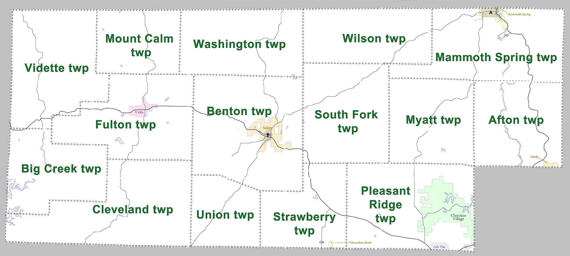
Fulton County is a county located in the U.S. state of Arkansas. As of the 2010 census, the population was 12,245. The county seat is Salem. Fulton County was formed on December 21, 1842, and named for William Fulton, the last governor of the Arkansas Territory. It is an alcohol prohibition or dry county. Geography According to the U.S. Census Bureau, the county has a total area of , of which is land and (0.3%) is water. Major highways * * * * U.S. Highway 62 Business * Highway 9 * Highway 87 * Highway 175 * Highway 223 * Highway 289 * Highway 395 Adjacent counties *Ozark County, Missouri (northwest) * Howell County, Missouri (north) * Oregon County, Missouri (northeast) * Sharp County (east) * Izard County (south) * Baxter County (west) Demographics 2020 census As of the 2020 United States census, there were 12,075 people, 4,973 households, and 3,278 families residing in the county. 2000 census As of the 2000 census, there were 11,642 people, 4,810 hou ... [...More Info...] [...Related Items...] OR: [Wikipedia] [Google] [Baidu] |
Sharp County, Arkansas
Sharp County is a county located in the U.S. state of Arkansas. As of the 2010 census, the population was 17,264. The county seat is Ash Flat. The county was formed on July 18, 1868, and named for Ephraim Sharp, a state legislator from the area. Sharp County was featured on the PBS program ''Independent Lens'' for its 1906 "banishment" of all of its Black residents. A local newspaper at the time was quoted as saying that "The community is better off without them." Geography According to the U.S. Census Bureau, the county has a total area of , of which is land and (0.3%) is water. Major highways * U.S. Highway 62 * U.S. Highway 63 * U.S. Highway 167 * U.S. Highway 412 * Highway 56 * Highway 58 * Highway 175 Adjacent counties * Oregon County, Missouri (north) * Randolph County (northeast) * Lawrence County (southeast) * Independence County (south) * Izard County (southwest) * Fulton County (northwest) Demographics 2020 census As of the 2020 United States c ... [...More Info...] [...Related Items...] OR: [Wikipedia] [Google] [Baidu] |
Lawrence County, Arkansas
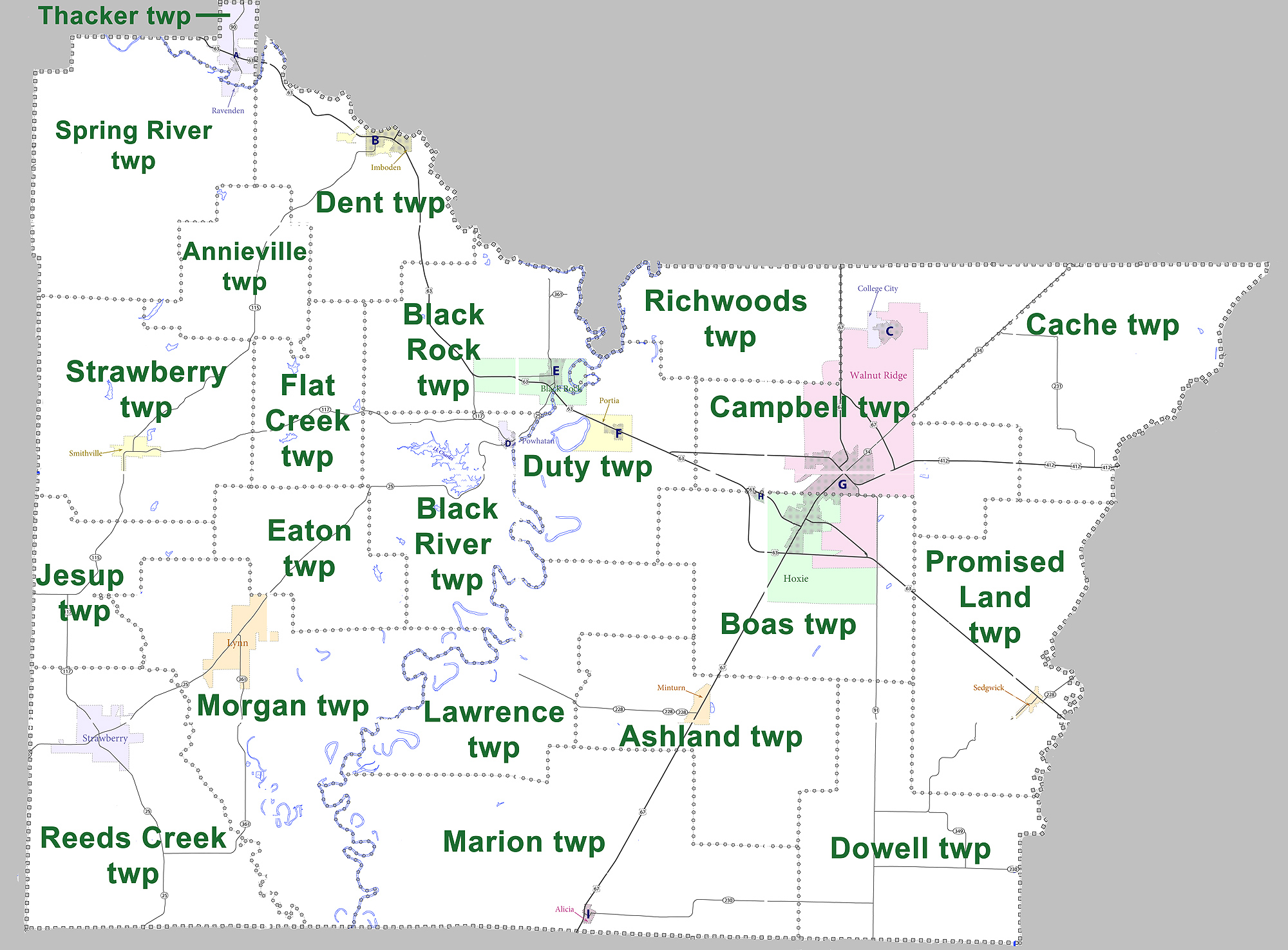
Lawrence County is a county located in the U.S. state of Arkansas. As of the 2010 census, the population was 17,415. The county seat is Walnut Ridge. Lawrence County is Arkansas's second county, formed on January 15, 1815, and named for Captain James Lawrence who fought in the War of 1812. It is an alcohol prohibition or dry county. History Following the Louisiana Purchase, the area currently encompassing Lawrence County was contained within the Louisiana Territory from 1805 to 1812, and the Missouri Territory from 1812 until the creation of Arkansas Territory in 1819. While the southern portion of Missouri Territory began to be settled, Lawrence County was created on January 15, 1815 from New Madrid County and Arkansas County. The large area spanned from Cape Girardeau County to the Arkansas River. Geography According to the U.S. Census Bureau, the county has a total area of , of which is land and (0.8%) is water. Adjacent counties * Randolph County (north) * Greene Co ... [...More Info...] [...Related Items...] OR: [Wikipedia] [Google] [Baidu] |


