|
Taura River
The Taura River is a river of Ecuador. It flows into the Churute Estuary in the Gulf of Guayaquil. It gives its name to the shrimp disease Taura syndrome, which was first described in shrimp farms along the river. See also *List of rivers of Ecuador The rivers of Ecuador are an important part of the nation's geography and economy. Most of the over 2,000 rivers and streamsTerry have headwaters in the Andes mountain range, flowing therefrom either westward toward the Pacific Ocean or eastward to ... References Rivers of Ecuador {{Ecuador-river-stub ... [...More Info...] [...Related Items...] OR: [Wikipedia] [Google] [Baidu] |
Ecuador
Ecuador ( ; ; Quechua: ''Ikwayur''; Shuar: ''Ecuador'' or ''Ekuatur''), officially the Republic of Ecuador ( es, República del Ecuador, which literally translates as "Republic of the Equator"; Quechua: ''Ikwadur Ripuwlika''; Shuar: ''Ekuatur Nunka''), is a country in northwestern South America, bordered by Colombia on the north, Peru on the east and south, and the Pacific Ocean on the west. Ecuador also includes the Galápagos Islands in the Pacific, about west of the mainland. The country's capital and largest city is Quito. The territories of modern-day Ecuador were once home to a variety of Indigenous groups that were gradually incorporated into the Inca Empire during the 15th century. The territory was colonized by Spain during the 16th century, achieving independence in 1820 as part of Gran Colombia, from which it emerged as its own sovereign state in 1830. The legacy of both empires is reflected in Ecuador's ethnically diverse population, with most of its mill ... [...More Info...] [...Related Items...] OR: [Wikipedia] [Google] [Baidu] |
Gulf Of Guayaquil
The Gulf of Guayaquil is a large body of water of the Pacific Ocean in western South America. Its northern limit is the city of Santa Elena, in Ecuador, and its southern limit is Cabo Blanco, in Peru. The gulf takes its name from the city of Guayaquil. Rivers of both Ecuador and Peru empty in the Gulf of Guayaquil, like the Guayas River, the Jubones River, the Zarumilla River and the Tumbes River. A series of geological faults underlay the gulf. Various of these faults continue across mainland Ecuador. The main faults of the gulf are NNE-SSW oriented and are of mixed strike-slip and reverse type with dextral movement. These faults may generate dangerous earthquakes. References Guayaquil , motto = Por Guayaquil Independiente en, For Independent Guayaquil , image_map = , map_caption = , pushpin_map = Ecuador#South America , pushpin_re ... Bodies of water of Ecuador Bodies ... [...More Info...] [...Related Items...] OR: [Wikipedia] [Google] [Baidu] |
Taura Syndrome
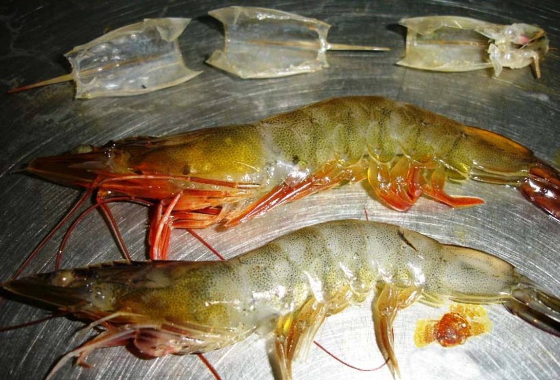
Taura syndrome (TS) is one of the more devastating diseases affecting the shrimp farming industry worldwide. It was first described in Ecuador during the summer of 1992. In March 1993, it returned as a major epidemic and was the object of extensive media coverage. Retrospective studies have suggested a case of Taura syndrome might have occurred on a shrimp farm in Colombia as early as 1990 and the virus was already present in Ecuador in mid-1991. Between 1992 and 1997, the disease spread to all major regions of the Americas where whiteleg shrimp (''Litopenaeus vannamei'') is cultured. The economic impact of TS in the Americas during that period might have exceeded US$2 billion by some estimates. Overview The 1992 Ecuadorian TS epidemic occurred concurrently with an outbreak of black leaf wilt disease in banana plantations. The outbreak of black leaf disease led to an increase in fungicide usage within the Taura River basin district near the city of Guayaquil. The fungicides pr ... [...More Info...] [...Related Items...] OR: [Wikipedia] [Google] [Baidu] |
List Of Rivers Of Ecuador
The rivers of Ecuador are an important part of the nation's geography and economy. Most of the over 2,000 rivers and streamsTerry have headwaters in the Andes mountain range, flowing therefrom either westward toward the Pacific Ocean or eastward toward the Amazon River.Hanratty Narrow in the highlands, the majority of the rivers broaden as they reach the lower elevations of the Coast and Oriente. During the rainy season, which lasts from January to April, the rivers that drain into the Pacific flood and often cause damage. Geography The two main water systems are the Esmeraldas River in the North and the Guayas in the South.Gerlach The Esmeraldas begins as the Guayllabamba River in the Sierra, flowing west before emptying in the Pacific near the city of Esmeraldas. The Guayas forms to the north of Guayaquil, where the Daule and the Babahoyo Rivers converge. The Babahayo arises from its tributaries in the Andes. The Guayas basin covers 40,000 square kilometers. The most impo ... [...More Info...] [...Related Items...] OR: [Wikipedia] [Google] [Baidu] |

