|
Quartier International De Montréal
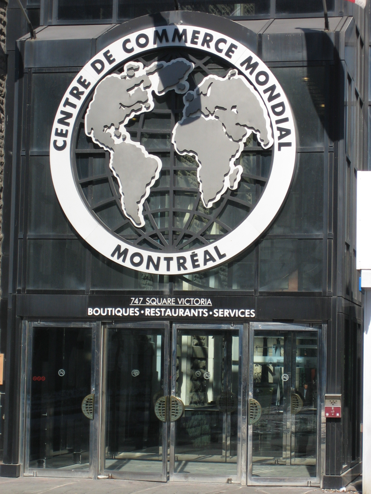
The Quartier international de Montréal (; QIM) or Montreal's International District is a district of the Ville-Marie borough in the city's downtown core of Montreal, Quebec, Canada. It is roughly bordered by René-Levesque Boulevard to the north, Notre-Dame Street to the south, De Bleury/Saint-Pierre Street to the east and Robert-Bourassa Boulevard to the west. The Palais des congrès building lying just east of the district is also usually comprised in it. Constructed dispersedly between 1965 and 1985 in place of older colonial housing blocks, the district underwent major urban renewal as a central business district in 2000–2003. Purpose The main purpose of the project was to restore the continuity of Montreal's downtown, broken by the gaping trench of the Ville-Marie Expressway since the 1960s, and thus to bridge the following areas: * The existing downtown business district centred on Place Ville Marie (northwest); * The Saint Laurent Boulevard/ Sainte Catherine Street e ... [...More Info...] [...Related Items...] OR: [Wikipedia] [Google] [Baidu] |
List Of Neighbourhoods In Montreal
This is the list of the neighbourhoods in the city of Montreal, Quebec, Canada. They are sorted by the Boroughs of Montreal, borough they are located in. Ahuntsic-Cartierville * Ahuntsic * Ahuntsic-Cartierville, Nouveau-Bordeaux * Cartierville *Saint-Sulpice * Sault-au-Récollet (Île de la Visitation) Anjou, Quebec, Anjou *Bas-Anjou: The Southeastern older portion, where the main services are located (town Hall, main library, fire station, high school) *Haut-Anjou: The L-shaped part consisting of every street North of Autoroute 40 and every street West of Autoroute 25 Côte-des-Neiges–Notre-Dame-de-Grâce * Côte-des-Neiges * Notre-Dame-de-Grâce **Benny Farm * Snowdon, Montreal, Snowdon * Le Triangle * Monkland Village * Glenmount Lachine, Quebec, Lachine * Ville Saint-Pierre LaSalle, Quebec, LaSalle No particular neighbourhoods. Cecil-P.-Newman Sault-Saint-Louis Le Plateau-Mont-Royal The Plateau Montreal's trendy and colourful Plateau Mont Royal neighbourhood i ... [...More Info...] [...Related Items...] OR: [Wikipedia] [Google] [Baidu] |
Place Ville Marie
Place Ville Marie (, abbr. PVM) is a large office and shopping complex skyscraper in Downtown Montreal, Quebec, Canada, comprising four office buildings and an underground shopping plaza. The main building, 1 Place Ville Marie (formerly Royal Bank Tower from its anchor tenant), was built in the International style in 1962 as the headquarters for the Royal Bank of Canada. While RBC's corporate headquarters and the majority of its management operations have been based in Toronto's Royal Bank Plaza since 1976, Place Ville Marie remains RBC's head office, a distinct title from its corporate headquarters. It is a , 47-storey, cruciform office tower. The complex is a nexus for Montreal's Underground City, the world's busiest, with indoor access to over 1,600 businesses, numerous subway stations, a suburban transportation terminal, and tunnels extending throughout downtown. A counter-clockwise rotating beacon on the rooftop lights up at night, illuminating the surrounding sky with u ... [...More Info...] [...Related Items...] OR: [Wikipedia] [Google] [Baidu] |
Public Domain
The public domain (PD) consists of all the creative work to which no Exclusive exclusive intellectual property rights apply. Those rights may have expired, been forfeited, expressly Waiver, waived, or may be inapplicable. Because no one holds the exclusive rights, anyone can legally use or reference those works without permission. As examples, the works of William Shakespeare, Ludwig van Beethoven, Miguel de Cervantes, Zoroaster, Lao Zi, Confucius, Aristotle, L. Frank Baum, Leonardo da Vinci and Georges Méliès are in the public domain either by virtue of their having been created before copyright existed, or by their copyright term having expired. Some works are not covered by a country's copyright laws, and are therefore in the public domain; for example, in the United States, items excluded from copyright include the formulae of Classical mechanics, Newtonian physics and cooking recipes. Other works are actively dedicated by their authors to the public domain (see waiver) ... [...More Info...] [...Related Items...] OR: [Wikipedia] [Google] [Baidu] |
Acre
The acre ( ) is a Unit of measurement, unit of land area used in the Imperial units, British imperial and the United States customary units#Area, United States customary systems. It is traditionally defined as the area of one Chain (unit), chain by one furlong (66 by 660 Foot (unit), feet), which is exactly equal to 10 square chains, of a square mile, 4,840 square yards, or 43,560 square feet, and approximately 4,047 m2, or about 40% of a hectare. Based upon the International yard and pound, international yard and pound agreement of 1959, an acre may be declared as exactly 4,046.8564224 square metres. The acre is sometimes abbreviated ac, but is usually spelled out as the word "acre".National Institute of Standards and Technolog(n.d.) General Tables of Units of Measurement . Traditionally, in the Middle Ages, an acre was conceived of as the area of land that could be ploughed by one man using a team of eight oxen in one day. The acre is still a statutory measure in the U ... [...More Info...] [...Related Items...] OR: [Wikipedia] [Google] [Baidu] |
Hectares
The hectare (; SI symbol: ha) is a non-SI metric unit of area equal to a square with 100-metre sides (1 hm2), that is, square metres (), and is primarily used in the measurement of land. There are 100 hectares in one square kilometre. An acre is about and one hectare contains about . In 1795, when the metric system was introduced, the ''are'' was defined as 100 square metres, or one square decametre, and the hectare (" hecto-" + "are") was thus 100 ''ares'' or km2 ( square metres). When the metric system was further rationalised in 1960, resulting in the International System of Units (), the ''are'' was not included as a recognised unit. The hectare, however, remains as a non-SI unit accepted for use with the SI and whose use is "expected to continue indefinitely". Though the dekare/decare daa () and are (100 m2) are not officially "accepted for use", they are still used in some contexts. Description The hectare (), although not a unit of SI, is the ... [...More Info...] [...Related Items...] OR: [Wikipedia] [Google] [Baidu] |
Real Estate Development
Real estate development, or property development, is a business process, encompassing activities that range from the renovation and re-lease of existing buildings to the purchase of raw Real Estate, land and the sale of developed land or parcels to others. Real estate developers are the people and companies who coordinate all of these activities, converting ideas from paper to real property. Real estate development is different from construction or Home construction, housebuilding, although many developers also manage the construction process or engage in housebuilding. Developers buy land, finance real estate deals, build or have builders build projects, develop projects in joint ventures, and create, imagine, control, and orchestrate the process of development from beginning to end.New York Times, March 16, 1963, "Personality Boom is Loud for Louis Lesser" Developers usually take the greatest risk in the creation or renovation of real estate and receive the greatest rewards. ... [...More Info...] [...Related Items...] OR: [Wikipedia] [Google] [Baidu] |
Public Art
Public art is art in any Media (arts), media whose form, function and meaning are created for the general public through a public process. It is a specific art genre with its own professional and critical discourse. Public art is visually and physically accessible to the public; it is installed in public space in both outdoor and indoor settings. Public art seeks to embody public or universal concepts rather than commercial, partisan, or personal concepts or interests. Notably, public art is also the direct or indirect product of a public process of creation, procurement and maintenance. Independent art created or staged in or near the public realm (for example, graffiti, street art) lacks official or tangible public sanction has not been recognized as part of the public art genre, however this attitude is changing due to the efforts of several street artists. Such unofficial artwork may exist on private or public property immediately adjacent to the public realm, or in natural ... [...More Info...] [...Related Items...] OR: [Wikipedia] [Google] [Baidu] |
City Square
A town square (or public square, urban square, city square or simply square), also called a plaza or piazza, is an open public space commonly found in the heart of a traditional town or city, and which is used for community gatherings. Related concepts are the civic center, the market square and the village green. Most squares are hardscapes suitable for open markets, concerts, political rallies, and other events that require firm ground. They are not necessarily a true geometric square. Being centrally located, town squares are usually surrounded by small shops such as bakeries, meat markets, cheese stores, and clothing stores. At their center is often a well, monument, statue or other feature. Those with fountains are sometimes called fountain squares. The term "town square" (especially via the term "public square") is synonymous with the politics of many cultures, and the names of a certain town squares, such as the Euromaidan or Red Square, have become symboli ... [...More Info...] [...Related Items...] OR: [Wikipedia] [Google] [Baidu] |
Built Environment
The term built environment refers to human-made conditions and is often used in architecture, landscape architecture, urban planning, public health, sociology, and anthropology, among others. These curated spaces provide the setting for human activity and were created to fulfill human desires and needs. The term can refer to a plethora of components including the traditionally associated buildings, cities, public infrastructure, transportation, open space, as well as more conceptual components like farmlands, dammed rivers, wildlife management, and even domesticated animals. The built environment is made up of physical features. However, when studied, the built environment often highlights the connection between physical space and social consequences. It impacts the environment and how society physically maneuvers and functions, as well as less tangible aspects of society such as socioeconomic inequity and health. Various aspects of the built environment contribute to scholarship ... [...More Info...] [...Related Items...] OR: [Wikipedia] [Google] [Baidu] |
Beautification
Beautification is the process of making visual improvements to a town, city, or urban area. This most often involves planting trees, shrubbery, and other greenery, but frequently also includes adding decorative or historic-style street lights and other lighting and replacing broken pavement, often with brick or other natural materials. Old-fashioned cobblestones are sometimes used for crosswalks; they provide the additional benefit of slowing motorists. Beautification projects are often undertaken by city councils to refurbish their downtown areas, in order to boost tourism or other commerce. Often, this is also spurred by broken sidewalks, which pose a safety hazard for pedestrians and potentially insurmountable obstacles for wheelchair users. These projects are frequently part of other larger projects such as construction, especially in conjunction with ones for transit, such as streets and roads and mass transit. The Laurel Hill Association of Stockbridge, Massachusett ... [...More Info...] [...Related Items...] OR: [Wikipedia] [Google] [Baidu] |
Cité Du Multimédia
The Cité du Multimédia () is a neighborhood in Montreal, Quebec, Canada, located between Old Montreal, Griffintown and Downtown Montreal. The neighborhood is the result of a vast real-estate project launched by the Quebec government in the late 1990s which redeveloped abandoned nineteenth century industrial buildings into a business cluster for information technology companies. Groupe Cardinal Hardy and Groupe Provencher & Roy architectes collaborated on the district's urban design. History The Société de Développement de Montréal possessed land holdings dating back to Jean Doré administration's failed Quartier des Récluses initiative, in which lands were bought by the SIMPA to make way for the project. In exchange for handing this over, the SDM gained a minority stake in a joint venture with the real estate arms of the Caisse de dépôt et placement du Québec (CDPQ) and the FTQ Fonds de Solidarité to fund the construction of the Cité, which occurred in eight phases ... [...More Info...] [...Related Items...] OR: [Wikipedia] [Google] [Baidu] |
Old Montreal
Old Montreal (, ) is a historic List of neighbourhoods in Montreal, neighbourhood within the List of municipalities in Quebec, municipality of Montreal in the province of Quebec, Canada. Home to the Old Port of Montreal, the neighbourhood is bordered on the west by McGill Street (Montreal), McGill Street, on the north by Ruelle des Fortifications, on the east by rue Saint-André, and on the south by the Saint Lawrence River. Following recent amendments, the neighbourhood has expanded to include the Rue des Soeurs Grises in the west, Saint Antoine Street in the north, and Saint Hubert Street in the east. Founded by French people, French settlers in 1642 as Fort Ville-Marie, Old Montreal is home to many structures dating back to the era of New France. The 17th century Human settlement, settlement lends its name to the Boroughs of Montreal, borough in which the neighbourhood lies, Ville-Marie (Montreal), Ville-Marie. In 1964, much of Old Montreal was declared a historic district ... [...More Info...] [...Related Items...] OR: [Wikipedia] [Google] [Baidu] |


