|
Penguin Island (Tasmania)
Penguin Island is a small island, with an area of 2.73 ha, part of the North Coast Group, lying in the southern Bass Strait near Devonport in north-west Tasmania. It is part of the Narawntapu National Park. An estimated 100 pairs of little penguins breed on the island.Brothers, Nigel; Pemberton, David; Pryor, Helen; & Halley, Vanessa. (2001). ''Tasmania’s Offshore Islands: seabirds and other natural features''. Tasmanian Museum and Art Gallery: Hobart. References See also * Penguin Islet (Tasmania) Penguin Islet is a small island nature reserve with an area of 3.46 ha in Bass Strait, south-eastern Australia. It is part of Tasmania’s Hunter Island Group which lies between north-west Tasmania and King Island. It is notable as the only pe ... Islands of North West Tasmania Protected areas of Tasmania {{Tasmania-geo-stub ... [...More Info...] [...Related Items...] OR: [Wikipedia] [Google] [Baidu] |
Hectare
The hectare (; SI symbol: ha) is a non-SI metric unit of area equal to a square with 100- metre sides (1 hm2), or 10,000 m2, and is primarily used in the measurement of land. There are 100 hectares in one square kilometre. An acre is about and one hectare contains about . In 1795, when the metric system was introduced, the ''are'' was defined as 100 square metres, or one square decametre, and the hectare ("hecto-" + "are") was thus 100 ''ares'' or km2 (10,000 square metres). When the metric system was further rationalised in 1960, resulting in the International System of Units (), the ''are'' was not included as a recognised unit. The hectare, however, remains as a non-SI unit accepted for use with the SI and whose use is "expected to continue indefinitely". Though the dekare/decare daa (1,000 m2) and are (100 m2) are not officially "accepted for use", they are still used in some contexts. Description The hectare (), although not a unit of SI, ... [...More Info...] [...Related Items...] OR: [Wikipedia] [Google] [Baidu] |
Bass Strait
Bass Strait () is a strait separating the island states and territories of Australia, state of Tasmania from the Australian mainland (more specifically the coast of Victoria (Australia), Victoria, with the exception of the land border across Boundary Islet). The strait provides the most direct waterway between the Great Australian Bight and the Tasman Sea, and is also the only maritime route into the economically prominent Port Phillip Bay. Formed 8,000 years ago by rising sea levels at the end of the last glacial period, the strait was named after English explorer and physician George Bass (1771-1803) by History of Australia (1788–1850), European colonists. Extent The International Hydrographic Organization defines the limits of Bass Strait as follows: :''On the west.'' The eastern limit of the Great Australian Bight [being a line from Cape Otway, Australia, to King Island (Tasmania), King Island and thence to Cape Grim, the northwest extreme of Tasmania]. :''On the east.' ... [...More Info...] [...Related Items...] OR: [Wikipedia] [Google] [Baidu] |
Devonport, Tasmania
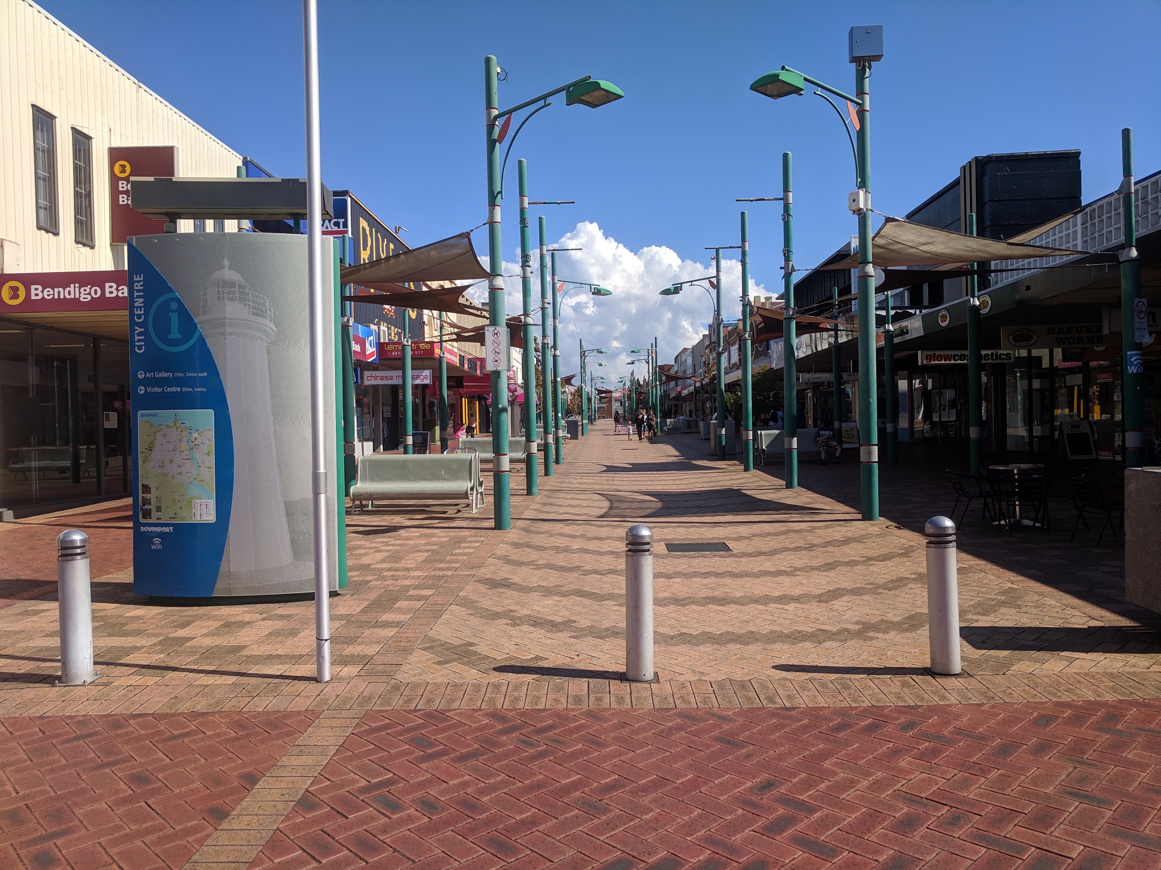
Devonport ( ; Palawa Kani: ''Tiagarra'') is a city in northern Tasmania, Australia, located on the lands of the Pannilerpanner clan of the Palawa nation. It is situated at the mouth of the Mersey River. Devonport had an urban population of 26,150 at the 2021 Australian census. History The first European settlement before 1850 was on a block of land at Frogmore, near present-day Latrobe. In 1850, a settler named Oldaker occupied land at present-day Devonport. Saw milling and coal mining developed with settlers arriving from England in 1854 on board the sailing ship 'Balmoral'. During the 1850s the twin settlements of Formby and Torquay were established on opposite banks at the mouth of the Mersey River. Torquay on the eastern shore was the larger community with police, post, magistrate, at least three hotels, shipyards and stores. A river ferry service connected the two communities. Between 1870 and 1880 the shipping industry grew and work was undertaken to deepen the mouth of t ... [...More Info...] [...Related Items...] OR: [Wikipedia] [Google] [Baidu] |
Tasmania
) , nickname = , image_map = Tasmania in Australia.svg , map_caption = Location of Tasmania in AustraliaCoordinates: , subdivision_type = Country , subdivision_name = Australia , established_title = Before federation , established_date = Colony of Tasmania , established_title2 = Federation , established_date2 = 1 January 1901 , named_for = Abel Tasman , demonym = , capital = Hobart , largest_city = capital , coordinates = , admin_center = 29 local government areas , admin_center_type = Administration , leader_title1 = Monarch , leader_name1 = Charles III , leader_title2 = Governor , leader_name2 ... [...More Info...] [...Related Items...] OR: [Wikipedia] [Google] [Baidu] |
Narawntapu National Park
Narawntapu National Park (formerly known as Asbestos Range National Park) is a national park in the Australian state of Tasmania. It lies on Tasmania's north coast, adjoining Bass Strait, between Port Sorell in the west and the mouth of the Tamar River in the east. It lies about 20 km east of Devonport, 60 km north-west of Launceston and 250 km north of Hobart. Narawntapu encompasses islands in the Port Sorell estuary and the Carbuncle, as well as land extending to low water mark, including intertidal mudflats. The highest point of the park is 392 m ASL. It is listed on Australia's Register of the National Estate.Anon. (2000). ''Narawntapu National Park, Hawley Nature Reserve - Management Plan 2000''. Parks and Wildlife Service, Tasmania. PDF download Narawntapu is popular with visitors, with many coming from the tourist centres of Devonport and Port Sorell. The visitor centre is located in an area known as Springlawn, where visitors can see Forester ... [...More Info...] [...Related Items...] OR: [Wikipedia] [Google] [Baidu] |
Little Penguin
The little penguin (''Eudyptula minor'') is a species of penguin from New Zealand. They are commonly known as little blue penguins or blue penguins owing to their slate-blue plumage and are also known by their Māori name . The Australian little penguin (''Eudyptula novaehollandiae'') from Australia and the Otago region of New Zealand is considered a separate species by a 2016 study and a 2019 study. Taxonomy The little penguin was first described by German naturalist Johann Reinhold Forster in 1781. Several subspecies are known, but a precise classification of these is still a matter of dispute. The holotypes of the subspecies ''E. m. variabilis'' and ''Eudyptula minor chathamensis'' are in the collection of the Museum of New Zealand Te Papa Tongarewa. The white-flippered penguin (''E. m. albosignata'' or ''E. m. minor morpha albosignata'') is currently considered by most taxonomists to be a colour morph or subspecies of ''Eudyptula minor.'' In 2008, Shirihai treated ... [...More Info...] [...Related Items...] OR: [Wikipedia] [Google] [Baidu] |
Penguin Islet (Tasmania)
Penguin Islet is a small island nature reserve with an area of 3.46 ha in Bass Strait, south-eastern Australia. It is part of Tasmania’s Hunter Island Group which lies between north-west Tasmania and King Island. It is notable as the only pelican colony in western Bass Strait. Fauna The island forms part of the Hunter Island Group Important Bird Area.BirdLife International. (2011). Important Bird Areas factsheet: Hunter Island Group. Downloaded from http://www.birdlife.org on 2011-07-09. Breeding seabirds and shorebirds include little penguin, short-tailed shearwater, fairy prion, common diving-petrel, white-faced storm-petrel, Pacific gull, silver gull, sooty oystercatcher, black-faced cormorant, Australian pelican and Caspian tern.Brothers, Nigel; Pemberton, David; Pryor, Helen; & Halley, Vanessa. (2001). ''Tasmania’s Offshore Islands: seabirds and other natural features''. Tasmanian Museum and Art Gallery The Tasmanian Museum and Art Gallery (TMAG) is a museum loca ... [...More Info...] [...Related Items...] OR: [Wikipedia] [Google] [Baidu] |
Islands Of North West Tasmania
An island (or isle) is an isolated piece of habitat that is surrounded by a dramatically different habitat, such as water. Very small islands such as emergent land features on atolls can be called islets, skerries, cays or keys. An island in a river or a lake island may be called an eyot or ait, and a small island off the coast may be called a holm. Sedimentary islands in the Ganges delta are called chars. A grouping of geographically or geologically related islands, such as the Philippines, is referred to as an archipelago. There are two main types of islands in the sea: continental and oceanic. There are also artificial islands, which are man-made. Etymology The word ''island'' derives from Middle English ''iland'', from Old English ''igland'' (from ''ig'' or ''ieg'', similarly meaning 'island' when used independently, and -land carrying its contemporary meaning; cf. Dutch ''eiland'' ("island"), German ''Eiland'' ("small island")). However, the spelling of the word ... [...More Info...] [...Related Items...] OR: [Wikipedia] [Google] [Baidu] |


