|
Parks And Open Spaces In The London Borough Of Barnet
The London Borough of Barnet, located on the northern periphery of London and having much of the area within its boundaries in the Metropolitan Green Belt, has many parks and open spaces. In addition there are large areas taken over by cemeteries and golf courses, and part of Hampstead Heath. Parks Premier Parks Barnet describes its 16 main open spaces as 'premier parks', seven of which achieved a Green Flag Award for 2009/10: * Childs Hill Park and Basing Hill Park, Childs Hill * Cherry Tree Wood, East Finchley * Edgwarebury Park, Edgware * Friary Park, Friern Barnet * Hendon Park, Hendon * Lyttelton Playing Fields, Hampstead Garden Suburb * Mill Hill Park, Mill Hill * Oak Hill Park, East Barnet * Old Court House Recreation Ground, High Barnet * Sunny Hill Park, Hendon * Swan Lane Open Space, Whetstone * Tudor Sports Ground, New Barnet * Victoria Park, Finchley Central * Victoria Recreation Ground, New Barnet * Watling Park, Burnt Oak * West Hendon Playing Fields, West ... [...More Info...] [...Related Items...] OR: [Wikipedia] [Google] [Baidu] |
London Borough Of Barnet
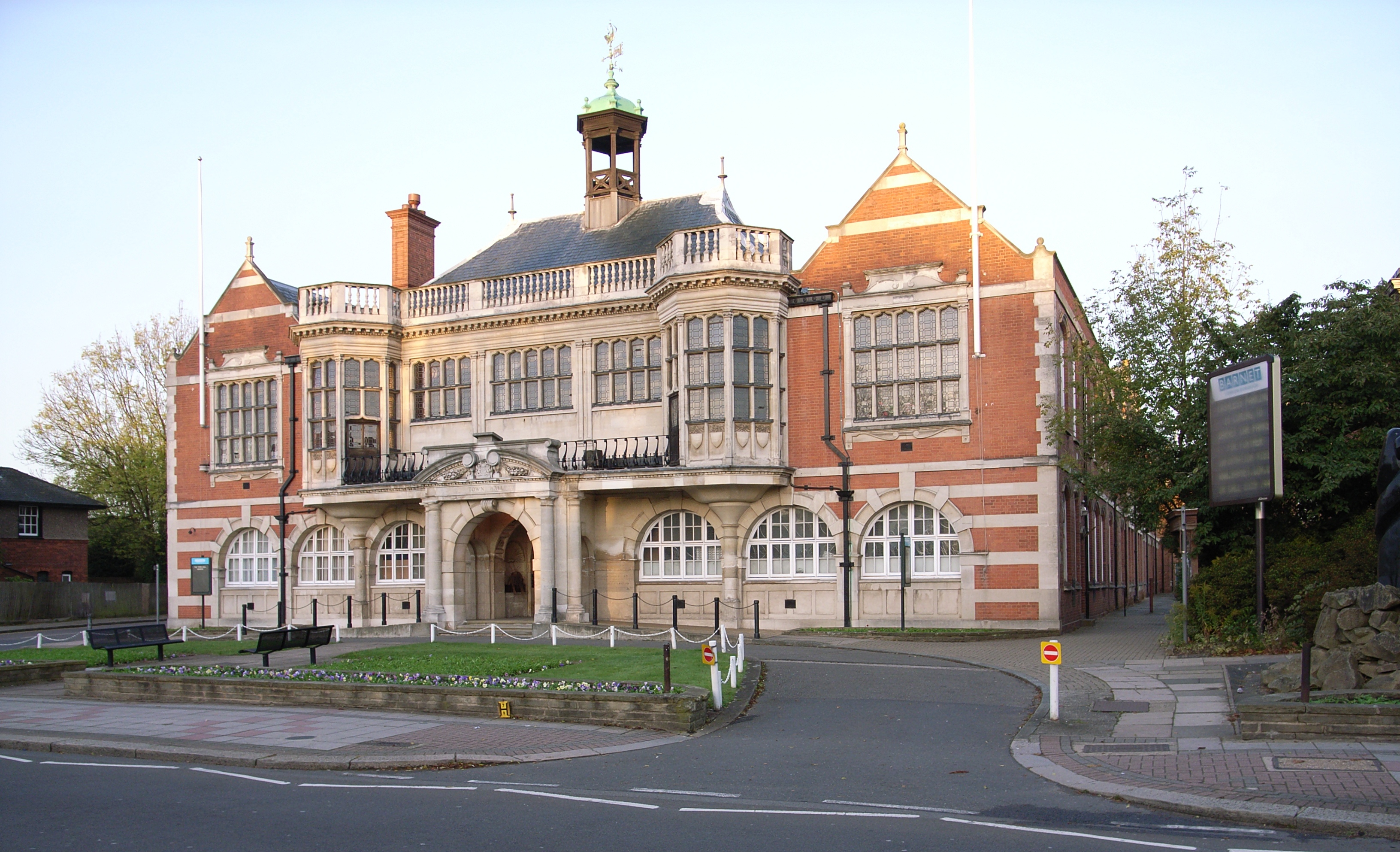
The London Borough of Barnet () is a suburban London borough in North London. The borough was formed in 1965 from parts of the ceremonial counties of Middlesex and Hertfordshire. It forms part of Outer London and is the largest London borough by population with 384,774 inhabitants, also making it the 13th largest district in England. The borough covers an area of , the fourth highest of the 32 London boroughs, and has a population density of 45.8 people per hectare, which ranks it 25th. Barnet borders the Hertfordshire district of Hertsmere to the north and five other London boroughs: Camden and Haringey to the southeast, Enfield to the east, as well as Harrow and Brent to the west of the ancient Watling Street (now the A5 road). The borough's major urban settlements are Hendon, Finchley, Golders Green, Friern Barnet, Chipping Barnet, Whetstone, and Edgware; there are also village settlements notably Totteridge and Arkley along with rural areas and countryside part o ... [...More Info...] [...Related Items...] OR: [Wikipedia] [Google] [Baidu] |
Lyttelton Playing Fields
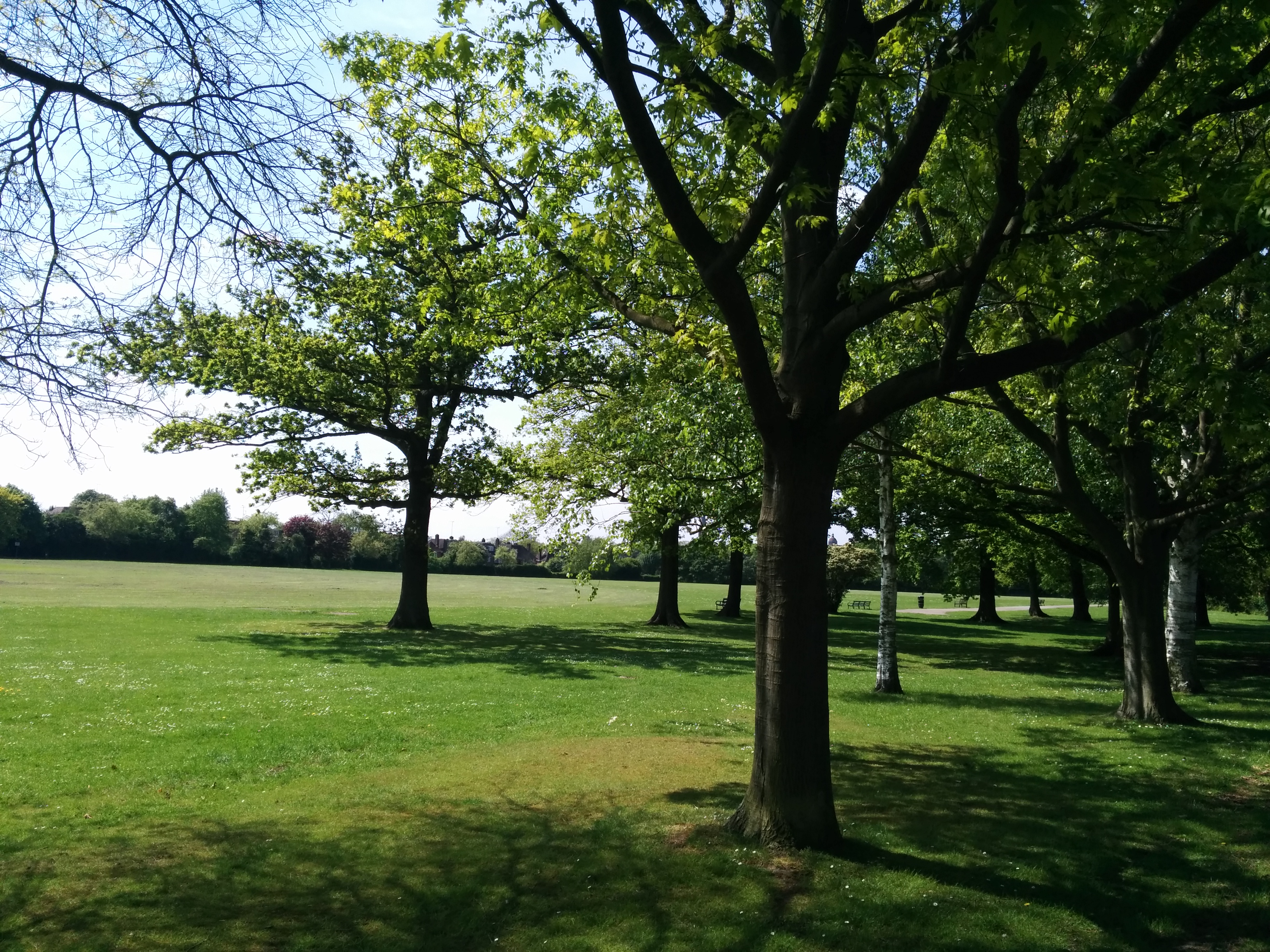
Lyttelton Playing Fields is a 9 hectare public park in Hampstead Garden Suburb in the London Borough of Barnet. It is one of Barnet's 'Premier Parks'. Most of the site is a large grassed area which can be used for cricket and football, and there are also a children's playground, tennis courts, multisport basketball and football courts, a private bowls club, 2 cricket squares and toilets. Mutton Brook goes along the north of the site through a small area of old woodland which is shown on Rocque's map of 1754, and was called Watery Wood in an 1864 Ordnance Survey map. The hedgerow along the southern edge once marked the boundary of the Bishop of London's Hornsey Park Estate. There is a small 'Children's Millennium wood' in the north west corner. Lyttelton Playing Fields has an active friends group which secured Lottery funding in 2011 for renovation. Access is from Kingsley Way, Lyttelton Road, Norrice Lea and Linden Lea. Gallery File:Lyttelton Playing Fields 1.jpg File:Lytt ... [...More Info...] [...Related Items...] OR: [Wikipedia] [Google] [Baidu] |
Victoria Park, Barnet
Victoria Park is in Church End in Finchley in the London Borough of Barnet. It covers seven hectares (17 acres). It is on the east side of Ballards Lane and fairly close to Finchley Central and West Finchley tube stations. History Much of the park was originally part of Colby's Farm, where Charles Dickens wrote part of ''Martin Chuzzlewit''. In 1887 Henry Stephens proposed converting the area to a park to commemorate Queen Victoria's Golden Jubilee, but it was not opened until 1902, a year after Queen Victoria's death. It was the only public park in the former Borough of Finchley until 1914. The park is mainly grassland, with playgrounds, fine trees and ornamental gardens, playing fields, six public tennis courts, Finchley Victoria Bowling and Croquet Club with two lawns and a clubhouse, and a café open seven days a week. There are entrances on Ballards Lane, Long Lane, Etchingham Park Road and Park View Road. Awards Victoria Park achieved a Green Flag Award for 2009-201 ... [...More Info...] [...Related Items...] OR: [Wikipedia] [Google] [Baidu] |
New Barnet
New Barnet is a neighbourhood on the north east side of the London Borough of Barnet. It is a largely residential North London suburb located east of Chipping Barnet, west of Cockfosters, south of the village of Monken Hadley and north of Oakleigh Park. Residential properties include a mix of late Victorian villas and terraces, Edwardian detached housing, 1950-60s council housing and the redevelopment of land to low storey flats in the 1980s and 1990s. The north edge of New Barnet borders Monken Hadley Common, a common mostly made up of woods and cut by walking paths. The main commercial area in New Barnet is east of New Barnet railway station on East Barnet Road. The high street is dominated by a medium-sized Sainsbury's supermarket with parking on top and is surrounded by a cluster of shops and facilities including Fayers, Just Add Water, PureGym, Tesco Express, Majestic Wine, The Party Shop, Bikestrobe, Ink n Toner and Bodens Performing Arts. Several independent cafés ... [...More Info...] [...Related Items...] OR: [Wikipedia] [Google] [Baidu] |
Tudor Sports Ground
Tudor Sports Ground is a public park between Clifford Road and the East Coast Main Railway Line in New Barnet in the London Borough of Barnet. It is one of Barnet's 'Premier Parks'. The park is a large grassed area with scattered mature trees. The site is mainly devoted to a nine-hole 'pitch and pay' golf course, and it also has a cricket pitch, a tennis court, a basketball shooting area, children's playgrounds and a car park. The park is adjacent to Monken Hadley Common on its northern side, and a footpath next to the railway on its eastern edge runs between Monken Hadley Common and |
Whetstone, London
Whetstone is a place in the London Borough of Barnet, bearing the postcode N20. It is to the east of Totteridge, and these areas are known together as Totteridge and Whetstone. Whetstone is around 8.5 miles North of Charing Cross and is within the boundaries of the historic county of Middlesex. The combined areas of Totteridge and Whetstone was, at the outset of the 21st century, found to be the 63rd-richest of the more than 9,000 wards of the United Kingdom. The High Road is the A1000, formerly known as the Great North Road, parts of it still bear this name. Until the late 19th century its tiny developed area was one of two main settlements in the ancient parish of Friern Barnet, the other being Colney Hatch. It was thus the northernmost settlement in the Ossulstone hundred. Whetstone is also the northernmost part of the parish of Finchley. History Early history In medieval times the Hospitallers had a settlement nearby in Friern Barnet probably where Friary Park ... [...More Info...] [...Related Items...] OR: [Wikipedia] [Google] [Baidu] |
Swan Lane Open Space
Swan Lane Open Space is a public park in Whetstone in the London Borough of Barnet. It is the smallest of Barnet's sixteen 'Premier Parks'. It has a children's playground, a café, and a pond which was formerly used for model boating but is now covered with reeds and water plants. Much of it is mown grass and trees, including giant redwoods and a Cedar of Lebanon, but it also has more natural areas managed for nature conservation. The park was created around the 1930s on the site of former gravel pits beside a nineteenth-century estate. The park was known locally as 'The Pits' in the 1960s and probably earlier. The pond is a natural spring. It was the scene of a tragedy in the early 1920s when children were drowned while playing in the disused gravel workings. According to a history of a local school, St John's: "Whetstone was the site of a number of gravel pits, particularly in the locality of Swan Lane. They are commemorated in the name still used for the recreation area ther ... [...More Info...] [...Related Items...] OR: [Wikipedia] [Google] [Baidu] |
Sunny Hill Park
Sunny Hill Park is a park in Hendon, in the London Borough of Barnet, England. It is a large hilly park, 22 hectares, mainly grassed, which has extensive views to the north and the west. Together with the neighbouring Hendon Churchyard, it is a Site of Local Importance for Nature Conservation. The site used to be Sunnyhill Fields, and was owned by Church Farmhouse, now the adjoining Church Farmhouse Museum. In 1921 Hendon Council purchased 16 acres for a park, which opened in 1922, and in 1929 it was enlarged when further land was acquired. An area with scattered trees in the south-east corner was formerly part of St Mary's Churchyard, an important archaeological site with evidence of Roman and Anglo-Saxon occupation. [...More Info...] [...Related Items...] OR: [Wikipedia] [Google] [Baidu] |
High Barnet
Chipping Barnet or High Barnet is a suburban market town in north London, forming part of the London Borough of Barnet, England. It is a suburban development built around a 12th-century settlement, and is located north-northwest of Charing Cross, east from Borehamwood, west from Enfield and south from Potters Bar. Its population, including its localities East Barnet, New Barnet, Hadley Wood, Monken Hadley, Cockfosters and Arkley, was 47,359 in 2011. Its name is very often abbreviated to just Barnet, which is also the name of the borough of which it forms a part; the town has been part of Greater London since 1965 after the abolition of Barnet Urban District then in Hertfordshire. Chipping Barnet is also the name of the Parliamentary constituency covering the local area – the word "Chipping" denotes the presence of a market, one that was established here at the end of the 12th century and persists to this day. Chipping Barnet is one of the highest urban settlements i ... [...More Info...] [...Related Items...] OR: [Wikipedia] [Google] [Baidu] |
Old Court House Recreation Ground
Old Court House Recreation Ground is a public park in High Barnet in the London Borough of Barnet. It is one of the borough's ''Premier Parks'' and received a Green Flag Award for 2009–2010. The park has six free tennis courts, a bowling green with a pavilion, a children's playground, a café and a car park (off Manor Close). It has formal gardens, grassed areas, rockeries, and a tree trail. Some of the trees are from California, such as a Monterey pine ''Pinus radiata'' ( syn. ''Pinus insignis''), the Monterey pine, insignis pine or radiata pine, is a species of pine native to the Central Coast of California and Mexico ( Guadalupe Island and Cedros island). It is an evergreen conifer in the f ... and a Brewer's weeping spruce, planted in the nineteenth century.Noticeboards in the park Conservation areas A refurbishment plan carried out since 2007 included the introduction of three conservation areas. The Orchard Conservation Area was formerly an orchard and some fruit tr ... [...More Info...] [...Related Items...] OR: [Wikipedia] [Google] [Baidu] |
East Barnet
East Barnet is an area of north London within the London Borough of Barnet bordered by New Barnet, Cockfosters and Southgate. It is a largely residential suburb whose central area contains shops, public houses, restaurants and services, and the parish church of St Mary the Virgin. East Barnet is close to the M25 and the A1 and M1. History From 1894 until 1965 East Barnet formed part of the East Barnet Urban District of Hertfordshire. In 1965, it was transferred from Hertfordshire to Greater London; the area was amalgamated with Barnet and Friern Barnet Urban Districts, Finchley and Hendon Metropolitan Boroughs to form the London Borough of Barnet. Governance Barnet local elections are held every four years to elect councillors. East Barnet is covered by two wards: * ''East Barnet Ward'' – East of the railway line and north of Parkside Gardens / Stuart Road. * ''Brunswick Park Ward'' – East of the railway line and south of Parkside Gardens / Stuart Road. No ... [...More Info...] [...Related Items...] OR: [Wikipedia] [Google] [Baidu] |
Oak Hill Park (Barnet)
Oak Hill Park is in East Barnet in the London Borough of Barnet. It is one of Barnet's premier parks and received a Green Flag Award for 2009–10. It is a large area of parkland with a wide range of facilities, including an outdoor gym, a bowls green, football pitches, a golf course, three tennis courts, a multi-sports court and a play area for toddlers. Part of the park became Oak Hill Wood, a Local Nature Reserve in 1997. Pymme's Brook and Pymmes Brook Trail pass through the park. Oak Hill Park has been part of Parkrun since August 2011 There is access from Church Hill Road, Parkside Gardens, Daneland and Vernon Crescent. History Oak Hill dates back to at least the 11th century, as part of the Monkenfrith estate owned by the church. After the dissolution of the Monasteries it was sold in 1536–38 and remained in private ownership until the bulk of the estate - renamed Oak Hill in the late 18th century - was bought by East Barnet Council in 1930 following the death of its ... [...More Info...] [...Related Items...] OR: [Wikipedia] [Google] [Baidu] |


