|
New Mexico State Road 32
State Road 32 (NM 32) is a state highway in Catron County in the U.S. state of New Mexico. It stretches from NM 12 in Apache Creek northward to U.S. Route 60 (US 60) in Quemado. Route description Much of NM 32 runs through the Apache-Sitgreaves National Forest. Its southern terminus is at an intersection with NM 12 in the community of Apache Creek. From there, the road heads north, winding through the Gallo Mountains, before reaching its northern terminus in the town of Quemado at an intersection with US 60. History When the state highways were first posted in the early 20th century, NM 32 was originally much longer, extending as far north as Shiprock. When the U.S. Highway System was established in 1926, much of this route was taken over by U.S. Route 666 (now U.S. Route 491). What is now NM 32 is a remnant of the former route that was not renumbered as a U.S. Highway. Major intersections See also * * References External links ... [...More Info...] [...Related Items...] OR: [Wikipedia] [Google] [Baidu] |
New Mexico Department Of Transportation
The New Mexico Department of Transportation (NMDOT; es, Departamento de Transporte de Nuevo México) is a state government organization which oversees transportation in New Mexico, State of New Mexico in the southwestern United States. The agency has four main focuses—transit, rail, aviation and highways. The department is based in the Joe M. Anaya Building in Santa Fe, New Mexico, Santa Fe. NMDOT Districts The NMDOT is divided into six districts which serve various areas of the state: NMDOT Park and Ride Beginning in 2003, the NMDOT began operating intercity bus service in New Mexico and Texas, under the name NMDOT Park and Ride. The system includes eight intercity routes and three local routes in Santa Fe. See also References External links * DWI in New Mexico Awareness website by NMDOT Transportation in New Mexico, Department of Transportation State departments of transportation of the United States, New Mexico Department of Transportation State agenci ... [...More Info...] [...Related Items...] OR: [Wikipedia] [Google] [Baidu] |
Apache Creek, New Mexico
Apache Creek is a census-designated place in Catron County, New Mexico, United States. As of the 2010 census it had a population of 67. Located northeast of Cruzville, it is situated at the confluence of Apache Creek and the Tularosa River. The Apache Creek Pueblo, also called the "Apache Creek Ruin", is near the town. It was listed by the New Mexico Historic Preservation Commission in 1969.(2007Properties By County New Mexico Historic Preservation Commission. Retrieved 6/14/07. Demographics History Apache leaders Mangas Coloradas, Victorio, Geronimo, Chato and Cochise carried on guerrilla warfare against United States settlers in this area. Cochise's infamous Alma Massacre was carried out from this area, as well. Originally the Apache were friendly to the explorers and colonists, but when their land and water was taken over by the pioneers they fought back. The warfare came to an end after the surrender of Geronimo in 1886. From 1928 to 1958 Apache Creek had its own post o ... [...More Info...] [...Related Items...] OR: [Wikipedia] [Google] [Baidu] |
Quemado, New Mexico
Quemado is a census-designated place in Catron County, New Mexico, United States. As of the 2010 census it had a population of 228. Walter De Maria's 1977 art installation, '' The Lightning Field'', is between Quemado and Pie Town, New Mexico. Jerry D. Thompson, historian of the American Southwest, was reared in Quemado. Geography Climate Quemado (meaning "burnt" in English) was named by Spanish conquistadors due to the blackened stones that cover the earth. It was caused by a fire that preceded the arrival of the Spanish in the early 1500s and the carbon remains partially due to paltry rainfall in the region. Quemado is categorized as being within the 6a USDA hardiness zone, meaning temperatures can get as low as -10 to -5 °F. Demographics Education The school district is Quemado Schools. See also * List of census-designated places in New Mexico New Mexico is a state located in the Western United States. New Mexico has several census-designated plac ... [...More Info...] [...Related Items...] OR: [Wikipedia] [Google] [Baidu] |
Catron County, New Mexico
Catron County is a county in the U.S. state of New Mexico. As of the 2010 census, the population was 3,725, making it New Mexico's third-least populous county. Its county seat is Reserve. Catron County is New Mexico's largest county by area. History Human settlement in the Catron County region dates to some of the earliest in the Americas. During the Clovis period, between 10999 BC and 8000 BC, and Folsom period, between 7999 BC and 5999 BC, the Ake Site was occupied near Datil.(ndNational Register of Historic Places - Catron County, New Mexico Retrieved June 13, 2007. Bat Cave, near Horse Springs, was occupied around 3,500 BC. The Mimbres culture was expressed by the Mogollon people. They lived throughout the Catron County area from AD 1000 to 1130. Their art is renowned for its beauty. In the 16th century, Spanish explorers and colonists came to the region, declaring it in 1598 to be part of Santa Fé de Nuevo México, a province of New Spain in the Americas. The prov ... [...More Info...] [...Related Items...] OR: [Wikipedia] [Google] [Baidu] |
State Highway
A state highway, state road, or state route (and the equivalent provincial highway, provincial road, or provincial route) is usually a road that is either ''numbered'' or ''maintained'' by a sub-national state or province. A road numbered by a state or province falls below numbered national highways (Canada being a notable exception to this rule) in the hierarchy (route numbers are used to aid navigation, and may or may not indicate ownership or maintenance). Roads maintained by a state or province include both nationally numbered highways and un-numbered state highways. Depending on the state, "state highway" may be used for one meaning and "state road" or "state route" for the other. In some countries such as New Zealand, the word "state" is used in its sense of a sovereign state or country. By this meaning a state highway is a road maintained and numbered by the national government rather than local authorities. Countries Australia Australia's State Route system covers u ... [...More Info...] [...Related Items...] OR: [Wikipedia] [Google] [Baidu] |
New Mexico
) , population_demonym = New Mexican ( es, Neomexicano, Neomejicano, Nuevo Mexicano) , seat = Santa Fe , LargestCity = Albuquerque , LargestMetro = Tiguex , OfficialLang = None , Languages = English, Spanish ( New Mexican), Navajo, Keres, Zuni , Governor = , Lieutenant Governor = , Legislature = New Mexico Legislature , Upperhouse = Senate , Lowerhouse = House of Representatives , Judiciary = New Mexico Supreme Court , Senators = * * , Representative = * * * , postal_code = NM , TradAbbreviation = N.M., N.Mex. , area_rank = 5th , area_total_sq_mi = 121,591 , area_total_km2 = 314,915 , area_land_sq_mi = 121,298 , area_land_km2 = 314,161 , area_water_sq_mi = 292 , area_water_km2 = 757 , area_water_percent = 0.24 , population_as_of = 2020 , population_rank = 36th , 2010Pop = 2,117,522 , population_density_rank = 45th , 2000DensityUS = 17.2 , 2000Density = 6.62 , MedianHouseholdIncome = $51,945 , IncomeRank = 45th , AdmittanceOrder = ... [...More Info...] [...Related Items...] OR: [Wikipedia] [Google] [Baidu] |
New Mexico State Road 12
New Mexico State Road 12 (NM 12) is a primarily west–east state road in western New Mexico. The road is long and runs from U.S. Route 180 (US 180) west of Reserve to US 60 in Datil. NM 12 is located entirely within Catron County. The road's original alignment ran south from its western terminus to near Mule Creek, but this section was later removed. The road was designated a State Highway by the New Mexico legislature in 1917. State Road 12 was paved during the 1950s. Major intersections See also * * References External links 012 012 may refer to: * Tyrrell 012, a Formula One racing car * The dialing code for Pretoria Pretoria () is South Africa's administrative capital, serving as the seat of the executive branch of government, and as the host to all foreign embassie ... Transportation in Catron County, New Mexico {{NewMexico-road-stub ... [...More Info...] [...Related Items...] OR: [Wikipedia] [Google] [Baidu] |
Gallo Mountains
Gallo may refer to: *Related to Gaul: **Gallo-Roman culture **Gallo language, a regional language of France **Gallo-Romance, a branch of Romance languages **Gallo-Italic or Gallo-Italian language, a branch spoken in Northern Italy of the Romance languages **Gallo-Italic of Sicily, a group of Gallo-Italic dialects spoken in central-eastern Sicily ** Gallo-Brittonic languages, Celtic languages of Gaul and Britain **Gallo-Roman religion, a fusion of the traditional religious practices of the Gauls and the Roman and Hellenistic religions Places *Gallo Matese, a commune in the province of Caserta, Italy *Gällö, a locality in Bräcke Municipality, Jämtland County, Sweden *Gallo river, a tributary of the Tagus *San Gallo, Italian name for St. Gallen People *Gallo (surname) *Gallo (footballer) (1893–1978), Brazilian footballer *Gallo, nickname for Italian basketball player Danilo Gallinari of the Los Angeles Clippers Fictional characters *Boss Gallo, in the video game ''Star Wars: ... [...More Info...] [...Related Items...] OR: [Wikipedia] [Google] [Baidu] |
Shiprock, New Mexico
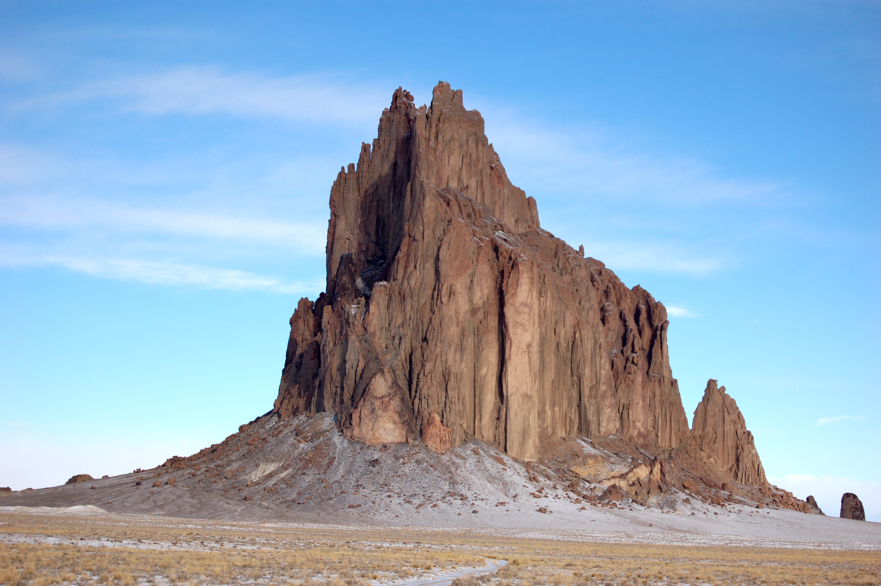
Shiprock ( nv, ) is a unincorporated community on the Navajo Nation, Navajo reservation in San Juan County, New Mexico, United States. The population was 7,718 people in the 2020 United States census, 2020 census. For statistical purposes, the United States Census Bureau has defined Shiprock as a census-designated place (CDP). It is part of the Farmington, New Mexico, Farmington Metropolitan Statistical Area. Shiprock is named after the nearby Shiprock rock formation. Since 1903, the town has been called ''Naat’áanii Nééz'' (meaning “tall leader” in the Navajo language) after the San Juan Indian Agency superintendent William T. Shelton who settled Shiprock for the United States government. Diné College is a local four-year college (formerly Navajo Community College), a Tribal colleges and universities, tribally controlled community college with seven other campuses across the Navajo Nation. It is the site of a Chapter House for the Navajo, a Bureau of Indian Affairs ag ... [...More Info...] [...Related Items...] OR: [Wikipedia] [Google] [Baidu] |
Quemado Lake , census-designated place in Texas
* Quemado, beach in Al Hoceima in Morocco
{{Disambig ...
Quemado may refer to: * Palacio Quemado, presidential palace in Bolivia * Quemado, New Mexico, unincorporated community in New Mexico * Quemado, Texas Quemado is a census-designated place (CDP) in Maverick County, Texas, United States. Its population was 230 at the 2010 United States Census, 2010 census. Geography According to the United States Census Bureau, the CDP has a total area of , all ... [...More Info...] [...Related Items...] OR: [Wikipedia] [Google] [Baidu] |
State Highways In New Mexico
State may refer to: Arts, entertainment, and media Literature * ''State Magazine'', a monthly magazine published by the U.S. Department of State * ''The State'' (newspaper), a daily newspaper in Columbia, South Carolina, United States * ''Our State'', a monthly magazine published in North Carolina and formerly called ''The State'' * The State (Larry Niven), a fictional future government in three novels by Larry Niven Music Groups and labels * States Records, an American record label * The State (band), Australian band previously known as the Cutters Albums * ''State'' (album), a 2013 album by Todd Rundgren * ''States'' (album), a 2013 album by the Paper Kites * ''States'', a 1991 album by Klinik * ''The State'' (album), a 1999 album by Nickelback Television * ''The State'' (American TV series), 1993 * ''The State'' (British TV series), 2017 Other * The State (comedy troupe), an American comedy troupe Law and politics * State (polity), a centralized political organizatio ... [...More Info...] [...Related Items...] OR: [Wikipedia] [Google] [Baidu] |

