|
List Of Airports In Slovakia
This is list of airports in Slovakia, grouped by type and sorted by location. __TOC__ Airports Airport names shown in bold indicate the airport has scheduled service on commercial airlines. See also * Transport in Slovakia * Slovak Air Force * List of airports by ICAO code: L#LZ – Slovakia * Wikipedia:WikiProject Aviation/Airline destination lists: Europe#Slovakia References * * - includes IATA codesWorld Aero Data- ICAO codes and coordinatesGreat Circle Mapper- IATA/ICAO codes and coordinatesTransport Authority of Slovakia: list of aerodromes and heliports - Aerodrome JASNA ICAO {{List of airports in Europe |
Airport
An airport is an aerodrome with extended facilities, mostly for commercial air transport. Airports usually consists of a landing area, which comprises an aerially accessible open space including at least one operationally active surface such as a runway for a plane to take off and to land or a helipad, and often includes adjacent utility buildings such as control towers, hangars and terminals, to maintain and monitor aircraft. Larger airports may have airport aprons, taxiway bridges, air traffic control centres, passenger facilities such as restaurants and lounges, and emergency services. In some countries, the US in particular, airports also typically have one or more fixed-base operators, serving general aviation. Operating airports is extremely complicated, with a complex system of aircraft support services, passenger services, and aircraft control services contained within the operation. Thus airports can be major employers, as well as important hubs for t ... [...More Info...] [...Related Items...] OR: [Wikipedia] [Google] [Baidu] |
Poprad
Poprad (; hu, Poprád; german: Deutschendorf) is a city in northern Slovakia at the foot of the High Tatra Mountains, famous for its picturesque historic centre and as a holiday resort. It is the biggest town of the Spiš region and the tenth largest city in Slovakia, with a population of approximately 50,000. The Poprad-Tatry Airport is an international airport located just outside the city. Poprad is also the starting point of the Tatra Electric Railway (known in Slovak as ''Tatranská elektrická železnica''), a set of special narrow-gauge trains (trams) connecting the resorts in the High Tatras with each other and with Poprad. Main line trains link Poprad to other destinations in Slovakia and beyond; in particular, there are through trains running from Poprad to Prague in the Czech Republic. History The territory was since the Migration Period inhabited by Slavic settlers. The first written record dates from March 16, 1256 in the deed of donation of the Hungari ... [...More Info...] [...Related Items...] OR: [Wikipedia] [Google] [Baidu] |
Piešťany Airport
Piešťany Airport is an airport serving spa town of Piešťany, Slovakia Slovakia (; sk, Slovensko ), officially the Slovak Republic ( sk, Slovenská republika, links=no ), is a landlocked country in Central Europe. It is bordered by Poland to the north, Ukraine to the east, Hungary to the south, Austria to the s .... Airport is used for music festivals during the summer and is home to the Military History Museum Piešťany Airlines and Destinations The following airlines operate regular scheduled and charter flights at Piešťany Airport: Statistics References External links * * * Airports in Slovakia {{Slovakia-transport-stub ... [...More Info...] [...Related Items...] OR: [Wikipedia] [Google] [Baidu] |
Piešťany
Piešťany (; german: Pistyan, hu, Pöstyén, pl, Pieszczany , cs, Píšťany ) is a town in Slovakia. It is located in the western part of the country within the Trnava Region and is the seat of its own district. It is the biggest and best known spa town in Slovakia and has around 28,000 inhabitants. Etymology The name Piešťany comes from Slovak ''Piesok'' (sand), referring to local sandbanks. The etymology is straightforward – ''Piešťanci'' – people who live on the sandy site and ''Piešťany'' – their settlement. History The first human settlement in the area is dated to the prehistoric times, about 80,000 years ago. People were attracted to the site by abundance of game in the vicinity of the thermal springs that did not freeze in winter. A small female statue called Venus of Moravany was found in the nearby village Moravany nad Váhom. It is made of mammoth ivory and is dated to 22,800 BC. It currently resides in the Bratislava Castle museum. In another nea ... [...More Info...] [...Related Items...] OR: [Wikipedia] [Google] [Baidu] |
Nové Zámky
Nové Zámky (; hu, Érsekújvár; german: Neuhäus ; la, Novum Castrum; tr, Uyvar) is a town in Nové Zámky District in the Nitra Region of southwestern Slovakia. Geography The town is located on the Danubian Lowland, on the Nitra River, at an altitude of 119 metres. It is located around 100 km from Bratislava and around 25 km from the Hungarian border. It is a road and railway hub of southern Slovakia. The town lies in the temperate zone and has a continental climate. Annual average temperature reaches around , with the warmest month being July with an average of and the coldest January with . Average annual precipitation is 556 mm. History The town has a distinguished history. From the second half of the 10th century until 1918, it was part of the Kingdom of Hungary. A fortress was built as a defence against the Ottoman Turks, on the site of an older settlement in the years 1573–81. Between 1589 and 1663, the settlement was the seat of the Cap ... [...More Info...] [...Related Items...] OR: [Wikipedia] [Google] [Baidu] |
Nitra Airport
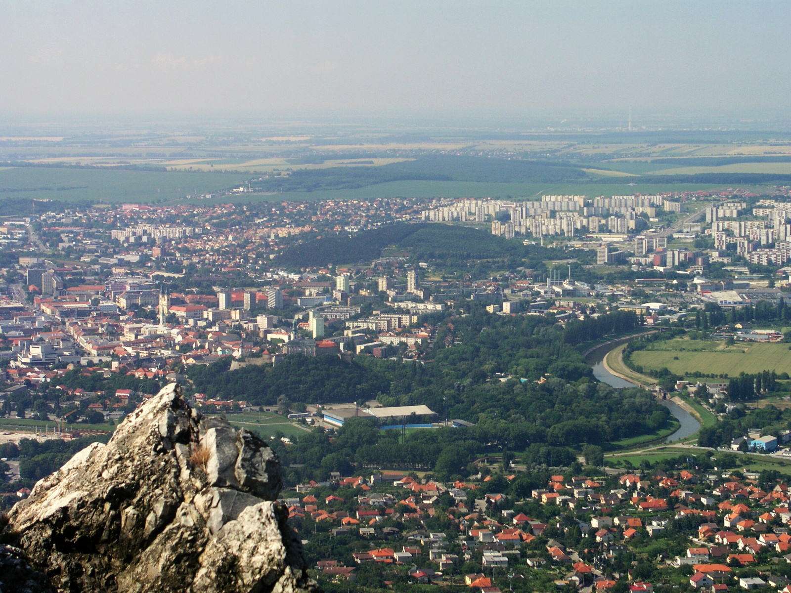
Nitra (; also known by other alternative names) is a city in western Slovakia, situated at the foot of Zobor Mountain in the valley of the river Nitra. It is located 95 km east of Bratislava. With a population of about 78,353, it is the fifth largest city in Slovakia. Nitra is also one of the oldest cities in Slovakia; it was the political center of the Principality of Nitra. Today, it is a seat of a ''kraj'' (Nitra Region), and an '' okres'' (Nitra District). Etymology The first mention of Nitra dates back to the 9th century. The name of the city is derived from the Nitra river. The name is Indo-European, but the question of its pre-Slavic or Slavic origin has not been satisfactorily answered. Nitra might be derived from the old Indo-European root ''neit-'', ''nit-'' meaning "to cut" or "to burn" using a derivation element ''-r-'' (see also slash-and-burn agricultural technique). The same root is still present in the Slovak verb ''nietiť'' (to make a fire), but also in oth ... [...More Info...] [...Related Items...] OR: [Wikipedia] [Google] [Baidu] |
Nitra Region
The Nitra Region ( sk, Nitriansky kraj, ; hu, Nyitrai kerület) is one of the administrative regions of Slovakia. It was first established in 1923 and from 1996 exists in its present borders. It consists of seven districts ( sk, okres) and 354 municipalities, from which 16 have a town status. The economy of the region focuses more on agriculture, than in other Slovak regions. Nitra is its seat, largest city, and cultural and economic center. Geography This region with a long history is situated in the southwest of Slovakia, mostly in the eastern part of the Danubian Lowland. It is divided into two sub-units: the Danubian Flat in the south-west, with eastern part of the Žitný ostrov island, and the Danubian Hills in the north, centre and east. Mountain ranges reaching into the region are: Považský Inovec in the north-west, where the region's highest point, Veľký Inovec, is located, Tribeč in the north from Nitra, Pohronský Inovec in the north-east and Štiavnické vrchy ... [...More Info...] [...Related Items...] OR: [Wikipedia] [Google] [Baidu] |
Nitra
Nitra (; also known by other alternative names) is a city in western Slovakia, situated at the foot of Zobor Mountain in the valley of the river Nitra. It is located 95 km east of Bratislava. With a population of about 78,353, it is the fifth largest city in Slovakia. Nitra is also one of the oldest cities in Slovakia; it was the political center of the Principality of Nitra. Today, it is a seat of a ''kraj'' ( Nitra Region), and an ''okres'' ( Nitra District). Etymology The first mention of Nitra dates back to the 9th century. The name of the city is derived from the Nitra river. The name is Indo-European, but the question of its pre-Slavic or Slavic origin has not been satisfactorily answered. Nitra might be derived from the old Indo-European root ''neit-'', ''nit-'' meaning "to cut" or "to burn" using a derivation element ''-r-'' (see also slash-and-burn agricultural technique). The same root is still present in the Slovak verb ''nietiť'' (to make a fire), but also in o ... [...More Info...] [...Related Items...] OR: [Wikipedia] [Google] [Baidu] |
Holíč Airport (Slovakia)
Holíč (until 1946 "Holič", german: Weißkirchen (an der March) / Holitsch, hu, Holics) is a town in western Slovakia. History The oldest archaeological findings in the area date from the Neolithic, and there are findings from the Bronze Age, Iron Age and the Roman time. The town was first mentioned in 1205 as ''Wywar'', meaning "New Castle". The Árpád dynasty built a stone castle after the Mongol invasion in 1241. From the 13th century until 1296, Holíč was the seat of a border comitatus. Among the owners of the town were Matthias Csák and Stibor of Stiborice. In the 15th century the town's development was slowed by the Hussite raids. In 1736 the town was bought by Franz I, Holy Roman Emperor, husband of Maria Theresa and manufactures were built, leading to the town's growth. Maria Theresa also rebuilt the Holíč Castle from a fortress into a summer château of the Habsburgs. Holíč's once thriving Jewish community was completely decimated by the Holocaust. Holíč ... [...More Info...] [...Related Items...] OR: [Wikipedia] [Google] [Baidu] |
Trnava Region
The Trnava Region ( sk, Trnavský kraj, ; hu, Nagyszombati kerület; german: Tyrnauer Landschaftsverband) is one of the eight Slovak administrative regions. It was established in 1996, before which date most of its districts were parts of Bratislava Region which was established on the founding of Czechoslovakia in 1923. It consists of 251 municipalities, from which 16 have a town status. It is the second most densely populated region in Slovakia. Geography In the lower, west part of Slovakia, the Trnava region forms a territorial band between the Bratislava Region and the rest of Slovakia, between Austrian and Czech borders in the north and north-west and the Hungarian border in the south. The part north of the Little Carpathians is part of the Záhorie Lowland, with its two subdivisions: hilly Chvojnická pahorkatina and flat Borská nížina. In addition to these, the Myjava Hills and the White Carpathians reach into the area. The fertile Danubian Lowland is located s ... [...More Info...] [...Related Items...] OR: [Wikipedia] [Google] [Baidu] |


