|
Infrasonic Passive Differential Spectroscopy
Infrasonic passive seismic spectroscopy (IPSS) is a passive seismic low frequency technique used for mapping potential oil and gas hydrocarbon accumulations. It is part of the geophysical techniques also known under the generic naming passive seismic which includes also passive seismic tomography and micro seismic monitoring for petroleum, gas, and geothermal applications. In a larger scale, passive seismic includes the Global Seismic Network (GSN) earthquake monitoring. Regarding petroleum and geothermal exploration (within a small scale), the effect of fluid distribution on P-wave propagation in partially saturated rocks is responsible for the low frequency reservoir-related wavefield absorption. The high level of attenuation within the infrasonic bandwidth (below 10 Hz) of the seismic field observed in natural oil-saturated porous media during the last years (explained by mesoscopic homogeneous models) is the main responsible of the passive seismic wave field shifting w ... [...More Info...] [...Related Items...] OR: [Wikipedia] [Google] [Baidu] |
Passive Seismic
Passive seismic is the detection of natural low frequency earth movements, usually with the purpose of discerning geological structure and locate underground oil, gas, or other resources. Usually the data listening is done in multiple measurement points that are separated by several hundred meters, over periods of several hours to several days, using portable seismometers. The conclusions about the geological structure are based on the spectral analysis or on the mathematical reconstruction of the propagation and possible sources of the observed seismic waves. If the latter is planned, data are usually acquired in multiple (in the ideal case - all) points simultaneously, using so called synchronized lines. Reliability of the time reverse modelling can be further increased using results of reflection seismology about the distribution of the sound speed in the underground volume. Passive seismic usually focuses on a low frequency signals (0 to 10 Hz) and is sometimes called the ... [...More Info...] [...Related Items...] OR: [Wikipedia] [Google] [Baidu] |
Seismic Tomography
Seismic tomography or seismotomography is a technique for imaging the subsurface of the Earth with seismic waves produced by earthquakes or explosions. P-, S-, and surface waves can be used for tomographic models of different resolutions based on seismic wavelength, wave source distance, and the seismograph array coverage. The data received at seismometers are used to solve an inverse problem, wherein the locations of reflection and refraction of the wave paths are determined. This solution can be used to create 3D images of velocity anomalies which may be interpreted as structural, thermal, or compositional variations. Geoscientists use these images to better understand core, mantle, and plate tectonic processes. Theory Tomography is solved as an inverse problem. Seismic travel time data are compared to an initial Earth model and the model is modified until the best possible fit between the model predictions and observed data is found. Seismic waves would travel in straight lin ... [...More Info...] [...Related Items...] OR: [Wikipedia] [Google] [Baidu] |
IRIS Consortium
IRIS (Incorporated Research Institutions for Seismology) is a university research consortium dedicated to exploring the Earth's interior through the collection and distribution of seismographic data. IRIS programs contribute to scholarly research, education, earthquake hazard mitigation, and the verification of a Comprehensive Nuclear-Test-Ban Treaty. Support for IRIS comes from the National Science Foundation, other federal agencies, universities, and private foundations. IRIS supports five major components, the Data Management Center (DMC), the Portable Array Seismic Studies of the Continental Lithosphere (PASSCAL), the Global Seismographic Network (GSN), the Transportable Array (USARRAY), and the Education and Public Outreach Program (EPO). IRIS maintains a Corporate Office in Washington, DC. IRIS's Education and Public Outreach Program provides resources for educators and the general public to advance awareness and understanding of seismology and earth science while inspiring ... [...More Info...] [...Related Items...] OR: [Wikipedia] [Google] [Baidu] |
Oil Exploration
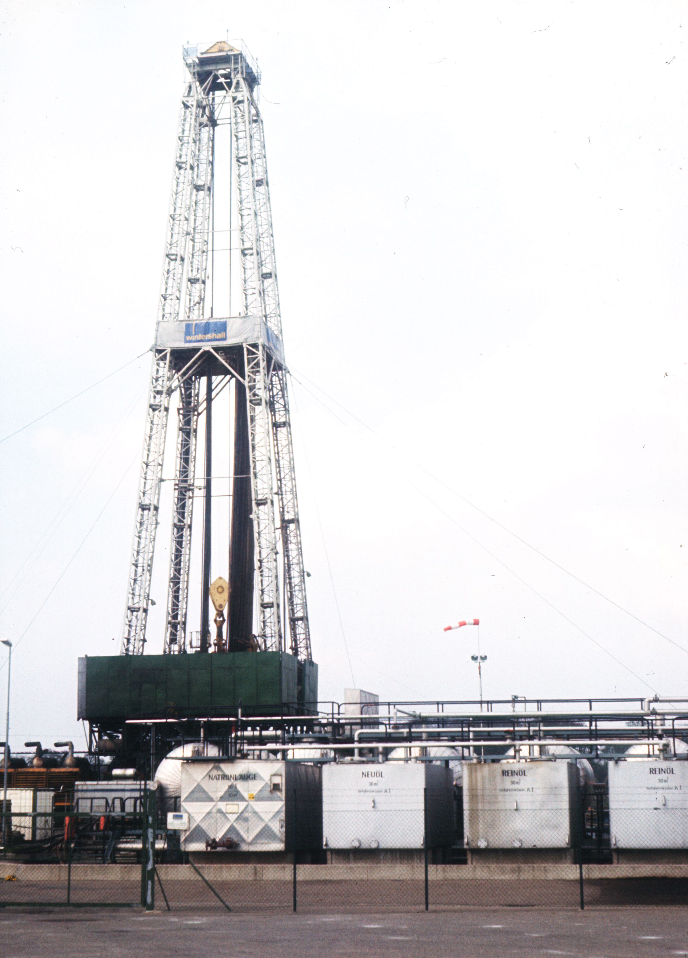
Hydrocarbon exploration (or oil and gas exploration) is the search by petroleum geologists and geophysicists for deposits of hydrocarbons, particularly petroleum and natural gas, in the Earth using petroleum geology. Exploration methods Visible surface features such as oil seeps, natural gas seeps, pockmarks (underwater craters caused by escaping gas) provide basic evidence of hydrocarbon generation (be it shallow or deep in the Earth). However, most exploration depends on highly sophisticated technology to detect and determine the extent of these deposits using exploration geophysics. Areas thought to contain hydrocarbons are initially subjected to a gravity survey, magnetic survey, passive seismic or regional seismic reflection surveys to detect large-scale features of the sub-surface geology. Features of interest (known as ''leads'') are subjected to more detailed seismic surveys which work on the principle of the time it takes for reflected sound waves to travel th ... [...More Info...] [...Related Items...] OR: [Wikipedia] [Google] [Baidu] |

