|
Glas Maol
Glas Maol () is a mountain in the Mounth, in the southeastern part of the Highlands of Scotland. The broad, flat summit is divided between the council area of Aberdeenshire, Angus and Perth and Kinross, though the highest point lies wholly within Angus; indeed Glas Maol is the highest point in that council area. Glas Maol is both a Munro and a Marilyn. The western slopes of Glas Maol form part of the Glenshee Ski Centre ski area. The most common route of ascent goes through the slopes, starting from the highest point of the A93 road The A93 is a major road in Scotland and the highest public road in the United Kingdom. It runs north from Perth, Scotland, Perth through Blairgowrie and Rattray, then through the Grampian Mountains (Scotland), Grampian Mountains by way of Glen ..., the Cairnwell pass. This is the highest public road in Scotland; hence only around 400 m of ascent is involved. Glas Maol is often climbed in conjunction with Creag Leacach to the south or ... [...More Info...] [...Related Items...] OR: [Wikipedia] [Google] [Baidu] |
Lochnagar
Lochnagar or is a mountain in the Mounth, in the Grampian Mountains, Grampians of Scotland. It is about south of the River Dee, Aberdeenshire, River Dee near Balmoral Castle, Balmoral. It is a popular hill with hillwalking, hillwalkers, and is a noted venue for summer and ice climbing, winter rock climbing, climbing. At the foot of the mountain is a lochan, Lochan na Gaire, from which the mountain's name derives. Names The English name refers to a mountain loch in the northeast cirque, corrie, , the 'little loch of the noisy sound'. or , 'mountain of breasts' or 'Breast-shaped hill, breast-shaped mountain', is probably the original Scottish Gaelic, Gaelic name for the mountain. The summit itself is , meaning 'small cairn of faeces' in Gaelic, or less euphemistically, 'little pile of shit'. Peter Drummond, former chairman of the Architectural Heritage Society of Scotland, has also suggested that is a corruption of ('slope'), which would lend a translation of 'little cair ... [...More Info...] [...Related Items...] OR: [Wikipedia] [Google] [Baidu] |
Glenshee Ski Centre
Glenshee Ski Centre is an alpine snowsports area in the Scottish Highlands. It is located above the Cairnwell Pass at the head of Glen Shee on either side of the A93 road between Blairgowrie and Braemar. Glenshee is Britain's largest alpine snowsports area and is referred to as the 'Scottish Three Glens'. in reference to Les Trois Vallées. The ski area covers . 22 lifts provide access to of pistes. There are 3 chairlifts, 3 T-bar lifts and 16 button lifts, mostly Pomas. A 4-seat chairlift is planned to replace the Cairnwell T-bar. The pistes are spread across four mountains. The western side of the ski area is a large bowl encompassing The Cairnwell and Càrn Aosda . The eastern side extends onto Meall Odhar and Glas Maol . There are 8 green Green is the color between cyan and yellow on the visible spectrum. It is evoked by light which has a dominant wavelength of roughly 495570 nm. In subtractive color systems, used in painting and color printing, i ... [...More Info...] [...Related Items...] OR: [Wikipedia] [Google] [Baidu] |
Mountains And Hills Of Perth And Kinross
A mountain is an elevated portion of the Earth's crust, generally with steep sides that show significant exposed bedrock. Although definitions vary, a mountain may differ from a plateau in having a limited summit area, and is usually higher than a hill, typically rising at least above the surrounding land. A few mountains are isolated summits, but most occur in mountain ranges. Mountains are formed through tectonic forces, erosion, or volcanism, which act on time scales of up to tens of millions of years. Once mountain building ceases, mountains are slowly leveled through the action of weathering, through slumping and other forms of mass wasting, as well as through erosion by rivers and glaciers. High elevations on mountains produce colder climates than at sea level at similar latitude. These colder climates strongly affect the ecosystems of mountains: different elevations have different plants and animals. Because of the less hospitable terrain and climate, mountai ... [...More Info...] [...Related Items...] OR: [Wikipedia] [Google] [Baidu] |
Mountains And Hills Of Aberdeenshire
A mountain is an elevated portion of the Earth's crust, generally with steep sides that show significant exposed bedrock. Although definitions vary, a mountain may differ from a plateau in having a limited summit area, and is usually higher than a hill, typically rising at least above the surrounding land. A few mountains are isolated summits, but most occur in mountain ranges. Mountains are formed through tectonic forces, erosion, or volcanism, which act on time scales of up to tens of millions of years. Once mountain building ceases, mountains are slowly leveled through the action of weathering, through slumping and other forms of mass wasting, as well as through erosion by rivers and glaciers. High elevations on mountains produce colder climates than at sea level at similar latitude. These colder climates strongly affect the ecosystems of mountains: different elevations have different plants and animals. Because of the less hospitable terrain and climate, mountains t ... [...More Info...] [...Related Items...] OR: [Wikipedia] [Google] [Baidu] |
Marilyns Of Scotland
This is a list of Marilyn hills and mountains in the United Kingdom, Ireland and surrounding islands and sea stacks. Marilyns are defined as peaks with a prominence of or more, regardless of height or any other merit (e.g. topographic isolation, as used in Munros). Thus, Marilyns can be mountains, with a height above , or relatively small hills. there were 2,010 recorded Marilyns. Definition The Marilyn classification was created by Alan Dawson in his 1992 book ''The Relative Hills of Britain''. The name Marilyn was coined by Dawson as a punning contrast to the ''Munro'' classification of Scottish mountains above , but which has no explicit prominence threshold, being homophonous with (Marilyn) '' Monroe''. The list of Marilyns was extended to Ireland by Clem Clements. Marilyn was the first of several subsequent British Isles classifications that rely solely on prominence, including the P600s, the HuMPs, and the TuMPs. Topographic prominence is more difficult to es ... [...More Info...] [...Related Items...] OR: [Wikipedia] [Google] [Baidu] |
Munros
A Munro (; ) is defined as a mountain in Scotland with a height over , and which is on the Scottish Mountaineering Club (SMC) official list of Munros; there is no explicit topographical prominence requirement. The best known Munro is Ben Nevis (Beinn Nibheis), the highest mountain in the British Isles at 4,411 ft (1,345 m). Munros are named after Sir Hugh Munro, 4th Baronet (1856–1919), who produced the first list of such hills, known as ''Munro's Tables'', in 1891. Also included were what Munro considered lesser peaks, now known as Munro Tops, which are also over 3,000 feet but are lower than the nearby primary mountain. The publication of the original list is usually considered to be the Epoch (reference date), epoch event of modern peak bagging. The list has been the subject of subsequent variation and , the Scottish Mountaineering Club has listed 282 Munros and 226 Munro Tops. "Munro bagging" is the activity of climbing all the listed Munros. , 7,654 people had rep ... [...More Info...] [...Related Items...] OR: [Wikipedia] [Google] [Baidu] |
Dry-stone Dyke
Dry stone, sometimes called drystack or, in Scotland, drystane, is a building method by which structures are constructed from stones without any mortar to bind them together. A certain amount of binding is obtained through the use of carefully selected interlocking stones. Dry stone construction is best known in the context of stone walls, traditionally used for the boundaries of fields and churchyards, or as retaining walls for terracing, but dry stone shelters, houses and other structures also exist. The term tends not to be used for the many historic styles which used precisely-shaped stone, but did not use mortar, for example the Greek temple and Inca architecture. The art of dry stone walling was inscribed in 2018 on the UNESCO representative list of the intangible cultural heritage of humanity, for dry stone walls in countries such as France, Greece, Italy, Slovenia, Croatia, Switzerland and Spain. In 2024, Ireland was added to the list. History Some dry stone wa ... [...More Info...] [...Related Items...] OR: [Wikipedia] [Google] [Baidu] |
Cairn Of Claise
Cairn of Claise is a mountain in the Grampians of Scotland, located about three miles from the Glenshee Ski Center near Braemar. It has an elevation of and a prominence of and is a Munro A Munro (; ) is defined as a mountain in Scotland with a height over , and which is on the Scottish Mountaineering Club (SMC) official list of Munros; there is no explicit topographical prominence requirement. The best known Munro is Ben Nevi .... The mountain's name is said to mean "Hill of the hollows". References Munros Mountains and hills of the Eastern Highlands Mountains and hills of Aberdeenshire One-thousanders of Scotland {{Aberdeenshire-geo-stub ... [...More Info...] [...Related Items...] OR: [Wikipedia] [Google] [Baidu] |
Creag Leacach
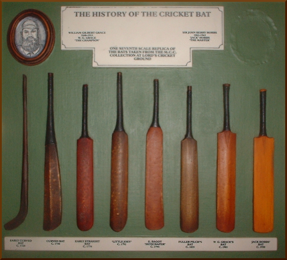
Cricket is a bat-and-ball game played between two teams of eleven players on a field, at the centre of which is a pitch with a wicket at each end, each comprising two bails (small sticks) balanced on three stumps. Two players from the batting team, the striker and nonstriker, stand in front of either wicket holding bats, while one player from the fielding team, the bowler, bowls the ball toward the striker's wicket from the opposite end of the pitch. The striker's goal is to hit the bowled ball with the bat and then switch places with the nonstriker, with the batting team scoring one run for each of these swaps. Runs are also scored when the ball reaches the boundary of the field or when the ball is bowled illegally. The fielding team aims to prevent runs by dismissing batters (so they are "out"). Dismissal can occur in various ways, including being bowled (when the ball hits the striker's wicket and dislodges the bails), and by the fielding side either catching ... [...More Info...] [...Related Items...] OR: [Wikipedia] [Google] [Baidu] |
Mountain Pass
A mountain pass is a navigable route through a mountain range or over a ridge. Since mountain ranges can present formidable barriers to travel, passes have played a key role in trade, war, and both Human migration, human and animal migration throughout history. At lower elevations it may be called a hill pass. A mountain pass is typically formed between two volcanic peaks or created by erosion from water or wind. Overview Mountain passes make use of a gap (landform), gap, saddle (landform), saddle, col or notch (landform), notch. A topographic saddle is analogous to the mathematical concept of a saddle surface, with a saddle point marking the minimum high point between two valleys and the lowest point along a ridge. On a topographic map, passes can be identified by contour lines with an hourglass shape, which indicates a low spot between two higher points. In the high mountains, a difference of between the summit and the mountain is defined as a mountain pass. Passes are o ... [...More Info...] [...Related Items...] OR: [Wikipedia] [Google] [Baidu] |


