|
Nile Basin
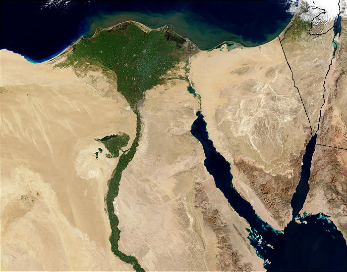
The Nile Basin is the part of Africa drained by the Nile River and its tributaries. Besides being the second largest hydrographic basin in Africa, the Nile Basin is effectively the most notable drainage basin on the continent. It covers approximately 2,870,000 km2, or about 10% of African territory, crossing arid regions and with a high population density. The Nile Basin Initiative (NBI) has been in existence since 1999, with the aim of strengthening cooperation in sharing its resources concerned. The drainage area of the basin covers Burundi, Chad, the Democratic Republic of the Congo, Egypt, Eritrea, Ethiopia, Kenya, Rwanda, South Sudan, the Sudan, Tanzania, and Uganda. The Basin is the main supplier of fresh water, electricity, and fish for the local residents of these countries, supporting about 270 million inhabitants, or 20% of the African population. The basin rises in the highlands and flows in extremely arid regions, in particular the Sahara Desert. [...More Info...] [...Related Items...] OR: [Wikipedia] [Google] [Baidu] |
Nile Basin Map
The Nile (also known as the Nile River or River Nile) is a major north-flowing river in northeastern Africa. It flows into the Mediterranean Sea. The Nile is the longest river in Africa. It has historically been considered the longest river in the world, though this has been contested by research suggesting that the Amazon River is slightly longer.Amazon Longer Than Nile River, Scientists Say Of the world's major rivers, the Nile has one of the lowest average annual flow rates. About long, its covers eleven countries: the |

