|
Battle Of Kōan
The , also known as the Second Battle of Hakata Bay, was the second attempt by the Mongol-led Yuan dynasty of China to invade Japan after their failed attempt seven years earlier at the Battle of Bun'ei. In the summer of 1281, the Yuan invaded with two large armies. The Japanese defenders were aided by a major storm which sank a sizeable portion of the Yuan fleets. The invaders who reached the shore were repulsed shortly after landing. The Japanese called the opportune storm ''kamikaze'' (), a name later used in the Second World War for pilots who carried out aerial suicide attacks. Background After the failed first invasion by the Yuan navy, the Japanese made many defense preparations, constructing numerous fortifications along the coast. Armies were kept in a state of readiness to repel a further attack. In early 1280 Kublai Khan planned another invasion of Japan and ordered his shipbuilders to rebuild the whole fleet within a year. In the short time available many of ... [...More Info...] [...Related Items...] OR: [Wikipedia] [Google] [Baidu] |
Mongol Invasions Of Japan
Major military efforts were taken by Kublai Khan of the Yuan dynasty in 1274 and 1281 to conquer the Japanese archipelago after the submission of the Korean kingdom of Goryeo to vassaldom. Ultimately a failure, the invasion attempts are of macro-historical importance because they set a limit on Mongol expansion and rank as nation-defining events in the history of Japan. The invasions are referred to in many works of fiction and are the earliest events for which the word ''kamikaze'' ("divine wind") is widely used, originating in reference to the two typhoons faced by the Yuan fleets. The invasions were one of the earliest cases of gunpowder warfare outside of China. One of the most notable technological innovations during the war was the use of explosive, hand-thrown bombs. Background After a series of Mongol invasions of Korea between 1231 and 1281, Goryeo signed a treaty in favor of the Mongols and became a vassal state. Kublai was declared Khagan of the Mongol Empire ... [...More Info...] [...Related Items...] OR: [Wikipedia] [Google] [Baidu] |
Battle Of Bun'ei
The , or Bun'ei Campaign, also known as the First Battle of Hakata Bay, was the first attempt by the Mongol-led Yuan dynasty of China to invade Japan. After conquering the Japanese settlements on Tsushima and Iki islands, Kublai Khan's fleet moved on to Japan proper and landed at Hakata Bay, a short distance from Kyūshū's administrative capital of Dazaifu. Despite the superior weapons and tactics of the Yuan forces, those that disembarked at Hakata Bay were grossly outnumbered by the samurai force; the Japanese had been preparing, mobilizing warriors and reinforcing defenses since they heard of the defeats at Tsushima and Iki. The Japanese defenders were aided by major storms which sunk a sizable portion of the Yuan fleets. Ultimately, the invasion attempt was decisively repulsed shortly after the initial landings. The Yuan troops withdrew and took refuge on their ships after only one day of fighting. A typhoon that night, said to be divinely conjured wind, threaten ... [...More Info...] [...Related Items...] OR: [Wikipedia] [Google] [Baidu] |
Ryūzōji Clan
was a Japanese kin group which traces its origin to Hizen Province on the island of Kyushu. Nussbaum, Louis-Frédéric. (2005)"Hōki"in ''Japan Encyclopedia'', p. 802. History The clan was founded by Fujiwara no Suekiyo in 1186. The clan was allied with Ashikaga Takauji in 1336, but they were defeated in fighting with the Ōtomo clan to the east and Shimazu clan to the south. Ryūzōji Takanobu is known for expanding his clan's holdings. He took land from the Shōni clan. Ryūzōji Masaie (1556–1607) was the son of Takanobu. In 1587, Masaie joined the forces of Toyotomi Hideyoshi against the Shimazu clan. In the same year, he was confirmed as head of the Saga Domain (350,000 ''koku''), but control of the domain passed to Nabeshima Naoshige Papinot, Jacques Edmond Joseph. (1906). ''Dictionnaire d'histoire et de géographie du Japon''; Papinot, (2003).html" ;"title="DF 54 of 80">"Ryūzōji", ''Nobiliare du Japon'', p. 50 [PDF 54 of 80/nowiki>">DF 54 of 80">"Ryūzōji", '' ... [...More Info...] [...Related Items...] OR: [Wikipedia] [Google] [Baidu] |
Umi No Nakamichi
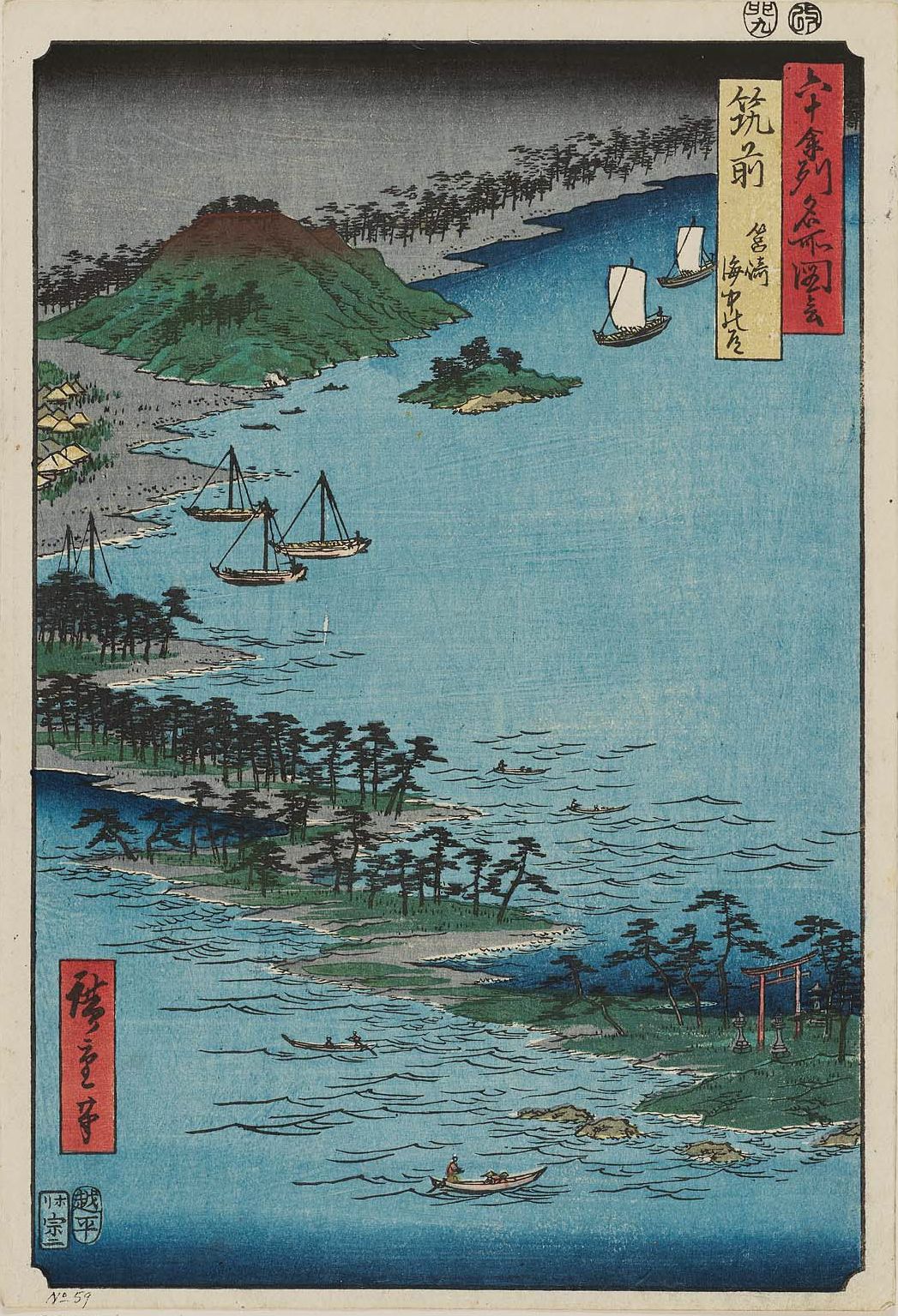
is a tombolo in Higashi-ku, Fukuoka, Fukuoka Prefecture, Japan. It connects Kyushu Island and Shikanoshima Island. It is 8km in length and up to 2.5 km in width. Its northern coast borders Genkai Sea and its southern coast Hakata Bay. There are many resorts. Most of the area is covered with sand hills but there is a terrace on the Northern side of the tombolo, where sands are believed to have been deposited during the Pleistocene.  {{coord, 33, 39, 39, N, 130, 19, 08, E, region:JP_source:kolossus-jawiki, display=title
Geography of Fukuoka
Cross country running venues
Shoals of Japan ...
[...More Info...] [...Related Items...] OR: [Wikipedia] [Google] [Baidu] |
Shika Island
is an island in Higashi-ku, Fukuoka, Japan. The island is known as the spot where the Gold Seal of the King of Na, a national treasure, was discovered. The island is about 11 kilometres around and connected to the Umi no Nakamichi (road) on the mainland by a causeway. On the hill that commands a view of Hakata Bay, two farmers found the golden seal in 1784. The area was developed into a park to commemorate the discovery, and designated Kin-in Park. According to Chinese chronicles, about 2,000 years ago, the Emperor Guangwu of Han, a dynasty of ancient China, granted an envoy from Japan a golden block seal, which was to be presented to the envoy's king. The seal was engraved with the characters 「漢委奴国王」"( Han wa na koku-ō"), meaning " rom the King of Han, presented to the King of Nakoku". The seal can be seen in the Fukuoka City Museum. Notable people from the island include Nogizaka46 member Yūki Yoda is a Japanese idol singer, model, and actress. She is a ... [...More Info...] [...Related Items...] OR: [Wikipedia] [Google] [Baidu] |
Tsushima Straits
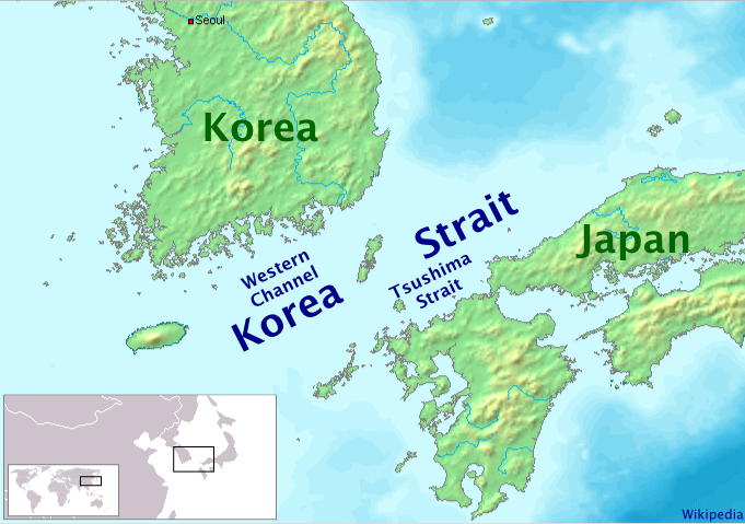
or Eastern Channel (동수로 Dongsuro) is a channel of the Korea Strait, which lies between Korea and Japan, connecting the Sea of Japan, the Yellow Sea, and the East China Sea. The strait is the channel to the east and southeast of Tsushima Island, with the Japanese islands of Honshu to the east and northeast, and Kyushu and the Gotō Islands to the south and southeast. It is narrowest south-east of Shimono-shima, the south end of Tsushima Island proper, constricted there by nearby Iki Island, which lies wholly in the strait near the tip of Honshu. South of that point Japan's Inland Sea mingles its waters through the narrow Kanmon Strait between Honshu and Kyushu, with those of the Eastern Channel, making for some of the busiest sea lanes in the world. The Strait was the site of the decisive naval battle in the Russo-Japanese War, the Battle of Tsushima, between the Japanese and Russian navies in 1905; in which the Russian fleet was virtually destroyed.100 Battles, ''Decisi ... [...More Info...] [...Related Items...] OR: [Wikipedia] [Google] [Baidu] |
Tsushima Island
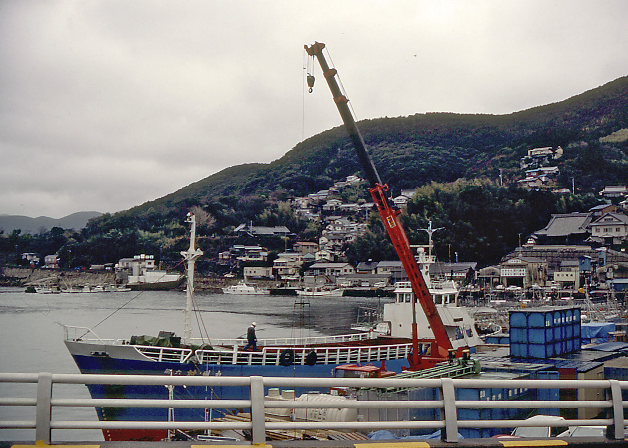
is an island of the Japanese archipelago situated in-between the Tsushima Strait and Korea Strait, approximately halfway between Kyushu and the Korean Peninsula. The main island of Tsushima, once a single island, was divided into two in 1671 by the Ōfunakoshiseto canal and into three in 1900 by the Manzekiseto canal. These canals were driven through isthmuses in the center of the island, forming "North Tsushima Island" ( Kamino-shima) and "South Tsushima Island" (Shimono-shima). Tsushima also incorporates over 100 smaller islands, many tiny. The name ''Tsushima'' generally refers to all the islands of the Tsushima archipelago collectively. Administratively, Tsushima Island is in Nagasaki Prefecture. The island group measures about by and had a population of about 34,000 . The main islands (that is, the "North" and "South" islands, and the thin island that connects them) are the largest coherent satellite island group of Nagasaki Prefecture and the eighth-largest in Japan ... [...More Info...] [...Related Items...] OR: [Wikipedia] [Google] [Baidu] |
Iki Island
, or the , is an archipelago in the Tsushima Strait, which is administered as the city of Iki in Nagasaki Prefecture, Japan. The islands have a total area of with a total population of 28,008. Only four (4) of the twenty-three (23) named islands are permanently inhabited. Together with the neighboring islands of Tsushima, they are collectively within the borders of the Iki–Tsushima Quasi-National Park. Geology The Iki Islands are volcanic in origin: they are the exposed and eroded basaltic summit of a massive Quaternary stratovolcano last active over 400,000 years ago. Iki Island is slightly oval in shape, and measures approximately from north-south and from east-west. The highest elevation is , a weakly curved peak with a highest elevation at above sea level. The average height of the land surface is 100 meters above sea level. The archipelago is approximately north-northeast of the Kyushu coast at its closest point and southeast of the Tsushima Islands. History The I ... [...More Info...] [...Related Items...] OR: [Wikipedia] [Google] [Baidu] |
Yangtze River
The Yangtze or Yangzi ( or ; ) is the longest river in Asia, the third-longest in the world, and the longest in the world to flow entirely within one country. It rises at Jari Hill in the Tanggula Mountains (Tibetan Plateau) and flows in a generally easterly direction to the East China Sea. It is the seventh-largest river by discharge volume in the world. Its drainage basin comprises one-fifth of the land area of China, and is home to nearly one-third of the country's population. The Yangtze has played a major role in the history, culture, and economy of China. For thousands of years, the river has been used for water, irrigation, sanitation, transportation, industry, boundary-marking, and war. The prosperous Yangtze Delta generates as much as 20% of China's GDP. The Three Gorges Dam on the Yangtze is the largest hydro-electric power station in the world that is in use. In mid-2014, the Chinese government announced it was building a multi-tier transport net ... [...More Info...] [...Related Items...] OR: [Wikipedia] [Google] [Baidu] |
Chinese People
The Chinese people or simply Chinese, are people or ethnic groups identified with China, usually through ethnicity, nationality, citizenship, or other affiliation. Chinese people are known as Zhongguoren () or as Huaren () by speakers of standard Chinese, including those living in Greater China as well as overseas Chinese. Although both terms both refer to Chinese people, their usage depends on the person and context. The former term is commonly used to refer to the citizens of the People's Republic of China - especially mainland China. The term Huaren is used to refer to ethnic Chinese, and is more often used for those who reside overseas or are non-citizens of China. The Han Chinese are the largest ethnic group in China, comprising approximately 92% of its Mainland population.CIA Factbook "Han Chinese 91.6%" out of a r ... [...More Info...] [...Related Items...] OR: [Wikipedia] [Google] [Baidu] |


