|
Battle Of Fort Necessity
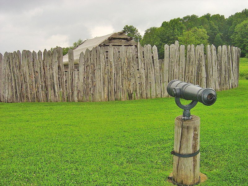
The Battle of Fort Necessity, also known as the Battle of the Great Meadows, took place on July 3, 1754, in present-day Farmington in Fayette County, Pennsylvania. The engagement, along with a May 28 skirmish known as the Battle of Jumonville Glen, was the first military combat experience for George Washington, who was later selected as commander of the Continental Army during the American Revolutionary War by the Second Continental Congress in Philadelphia. The Battle of Fort Necessity began the French and Indian War, which later spiraled into the global conflict known as the Seven Years' War. Washington built Fort Necessity on an alpine meadow west of the summit of a pass through the Laurel Highlands of the Allegheny Mountains. Another pass nearby leads to Confluence, Pennsylvania; to the west, Nemacolin's Trail begins its descent to Uniontown, Pennsylvania, and other parts of Fayette County along the relatively low altitudes of the Allegheny Plateau. Background T ... [...More Info...] [...Related Items...] OR: [Wikipedia] [Google] [Baidu] |
French And Indian War
The French and Indian War, 1754 to 1763, was a colonial conflict in North America between Kingdom of Great Britain, Great Britain and Kingdom of France, France, along with their respective Native Americans in the United States, Native American allies. European historians generally consider it a related conflict of the wider 1756 to 1763 Seven Years' War, although in the United States it is viewed as a singular conflict unassociated with any European war. Although Britain and France were officially at peace following the Treaty of Aix-la-Chapelle (1748), tensions over trade continued in North America. These culminated in a dispute over the Forks of the Ohio, and the related French Fort Duquesne which controlled them. In May 1754, this led to the Battle of Jumonville Glen, when Colony of Virginia, Virginia militia led by George Washington ambushed a French patrol. In 1755, Edward Braddock, the new Commander-in-Chief, North America, planned a four-way attack on the French. None s ... [...More Info...] [...Related Items...] OR: [Wikipedia] [Google] [Baidu] |
Philadelphia
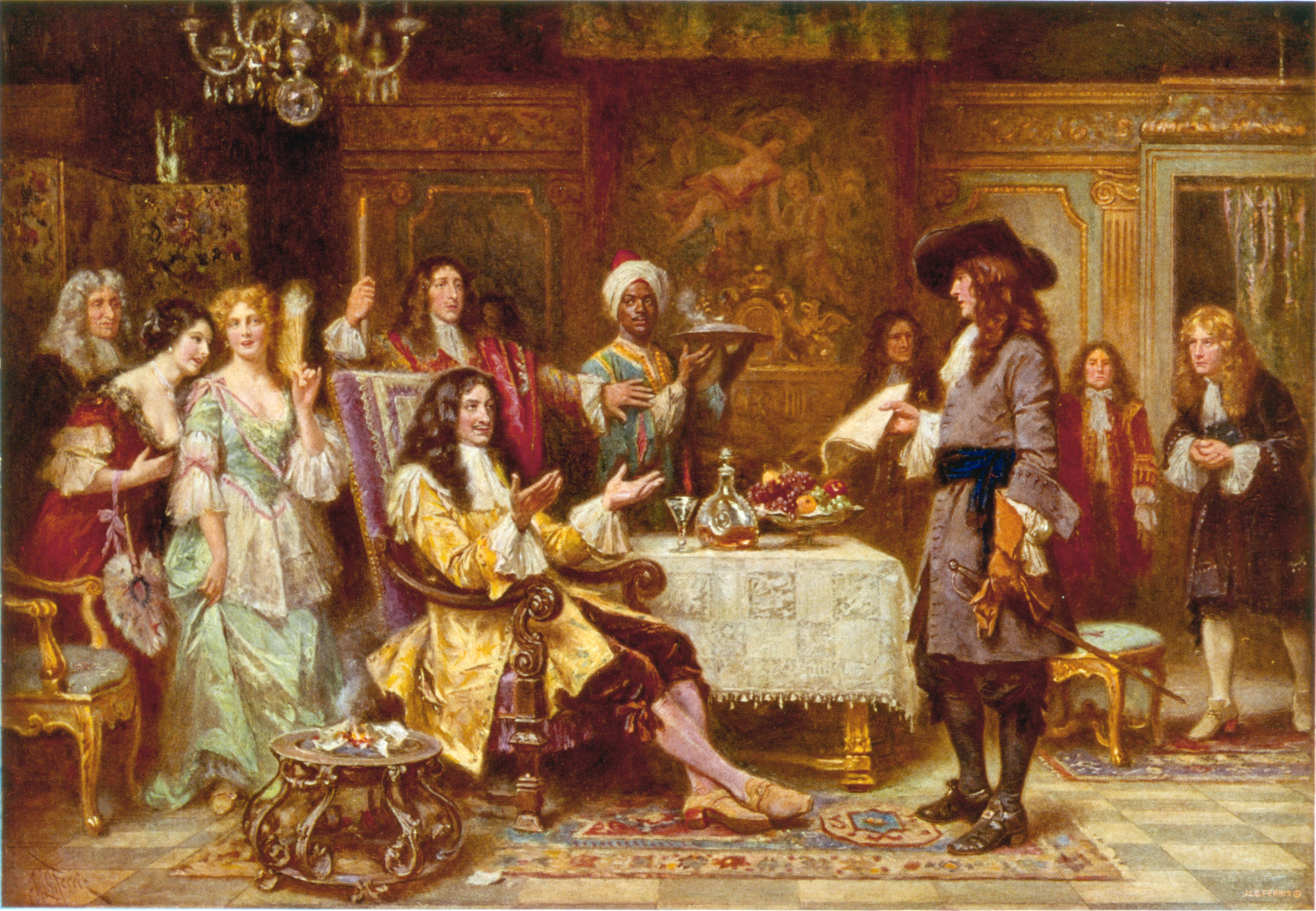
Philadelphia ( ), colloquially referred to as Philly, is the List of municipalities in Pennsylvania, most populous city in the U.S. state of Pennsylvania and the List of United States cities by population, sixth-most populous city in the United States, with a population of 1,603,797 in the 2020 United States census, 2020 census. The city is the urban core of the Philadelphia metropolitan area (sometimes called the Delaware Valley), the nation's Metropolitan statistical area, seventh-largest metropolitan area and ninth-largest combined statistical area with 6.245 million residents and 7.379 million residents, respectively. Philadelphia was founded in 1682 by William Penn, an English Americans, English Quakers, Quaker and advocate of Freedom of religion, religious freedom, and served as the capital of the Colonial history of the United States, colonial era Province of Pennsylvania. It then played a historic and vital role during the American Revolution and American Revolutionary ... [...More Info...] [...Related Items...] OR: [Wikipedia] [Google] [Baidu] |
Louisiana (New France)
Louisiana or French Louisiana was a administrative divisions of France, district of New France. In 1682 the French explorer René-Robert Cavelier, Sieur de la Salle erected a cross near the mouth of the Mississippi River and claimed the whole of the drainage basin of the Mississippi River in the name of King Louis XIV, naming it "Louisiana". This land area stretched from the Great Lakes to the Gulf of Mexico and from the Appalachian Mountains to the Rocky Mountains. The area was under French control France in the early modern period, from 1682 to 1762 and in part French First Republic, from 1801 (nominally) to 1803. Louisiana included two regions, now known as Illinois Country, Upper Louisiana (), which began north of the Arkansas River, and ''Lower Louisiana'' (). The U.S. state of Louisiana is named for the historical region, although it is only a small part of the vast lands claimed by France. [...More Info...] [...Related Items...] OR: [Wikipedia] [Google] [Baidu] |
Acadia
Acadia (; ) was a colony of New France in northeastern North America which included parts of what are now the The Maritimes, Maritime provinces, the Gaspé Peninsula and Maine to the Kennebec River. The population of Acadia included the various indigenous First Nations in Canada, First Nations that comprised the Wabanaki Confederacy, the Acadian people and other French people, French settlers. The first capital of Acadia was established in 1605 as Port-Royal (Acadia), Port-Royal. Soon after, English forces of Captain Argall, an English ship's captain employed by the Virginia Company of London attacked and burned down the Port-Royal National Historic Site, fortified habitation in 1613. A new centre for Port-Royal was established nearby, and it remained the longest-serving capital of French Acadia until the British Siege of Port Royal (1710), siege of Port Royal in 1710. There were six colonial wars in a 74-year period in which British interests tried to capture Acadia, starting ... [...More Info...] [...Related Items...] OR: [Wikipedia] [Google] [Baidu] |
New France
New France (, ) was the territory colonized by Kingdom of France, France in North America, beginning with the exploration of the Gulf of Saint Lawrence by Jacques Cartier in 1534 and ending with the cession of New France to Kingdom of Great Britain, Great Britain and History of Spain (1700–1808), Spain in 1763 under the Treaty of Paris (1763), Treaty of Paris. A vast viceroyalty, New France consisted of five colonies at its peak in 1712, each with its own administration: Canada (New France), Canada, the most developed colony, which was divided into the districts of Quebec (around what is now called Quebec City), Trois-Rivières, and Montreal; Hudson Bay; Acadia in the northeast; Terre-Neuve (New France), Terre-Neuve on the island of Newfoundland (island), Newfoundland; and Louisiana (New France), Louisiana. It extended from Newfoundland to the Canadian Prairies and from Hudson Bay to the Gulf of Mexico, including all the Great Lakes of North America. The continent-traversing ... [...More Info...] [...Related Items...] OR: [Wikipedia] [Google] [Baidu] |
Kingdom Of France
The Kingdom of France is the historiographical name or umbrella term given to various political entities of France in the Middle Ages, medieval and Early modern France, early modern period. It was one of the most powerful states in Europe from the High Middle Ages to 1848 during its dissolution. It was also an early French colonial empire, colonial power, with colonies in Asia and Africa, and the largest being New France in North America geographically centred around the Great Lakes. The Kingdom of France was descended directly from the West Francia, western Frankish realm of the Carolingian Empire, which was ceded to Charles the Bald with the Treaty of Verdun (843). A branch of the Carolingian dynasty continued to rule until 987, when Hugh Capet was elected king and founded the Capetian dynasty. The territory remained known as ''Francia'' and its ruler as ('king of the Franks') well into the High Middle Ages. The first king calling himself ('King of France') was Philip II of Fr ... [...More Info...] [...Related Items...] OR: [Wikipedia] [Google] [Baidu] |
Allegheny Plateau
The Allegheny Plateau ( ) is a large dissected plateau area of the Appalachian Mountains in western and central New York, northern and western Pennsylvania, northern and western West Virginia, and eastern Ohio. It is divided into the unglaciated Allegheny Plateau and the glaciated Allegheny Plateau. The plateau extends southward into western West Virginia, eastern Kentucky, and Tennessee, where it is instead called the Cumberland Plateau. The plateau terminates in the east at the Allegheny Mountains, which are the highest ridges just west of the Allegheny Front. The Front extends from central Pennsylvania through Maryland and into eastern West Virginia. The plateau is bordered on the west by glacial till plains in the north, generally north of the Ohio River, and the Bluegrass Region south of the Ohio River. Elevations vary greatly. In the glaciated Allegheny Plateau, relief may only reach one hundred feet or less. In the unglaciated Allegheny Plateau in southeastern Ohio ... [...More Info...] [...Related Items...] OR: [Wikipedia] [Google] [Baidu] |
Uniontown, Pennsylvania
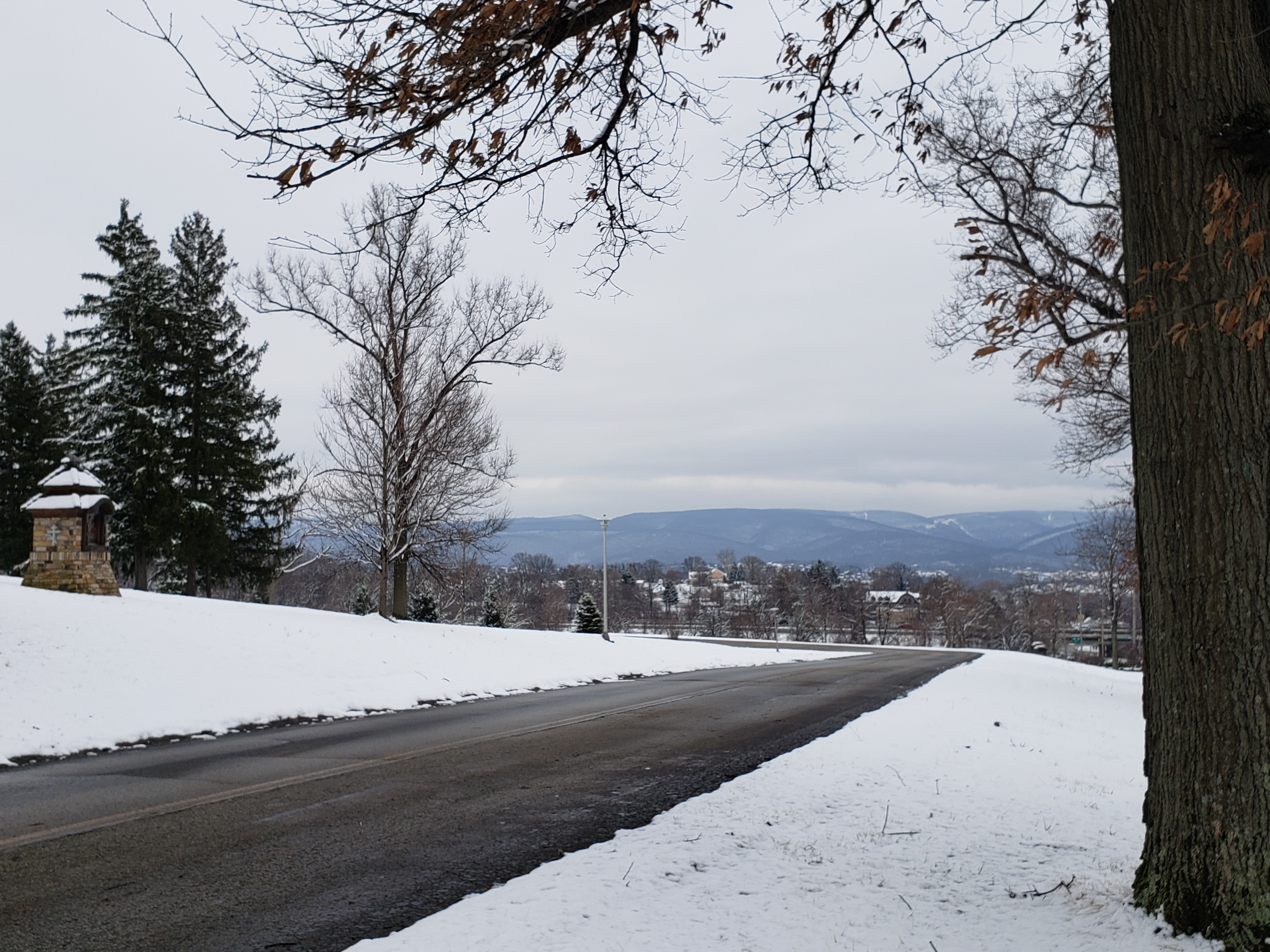
Uniontown is the largest city in Fayette County, Pennsylvania, United States, and its county seat. The population was 9,984 at the 2020 census. It is part of the Pittsburgh metropolitan area, southeast of Pittsburgh. History southeast of Uniontown is Fort Necessity, built by George Washington during the French and Indian War (part of the international Seven Years' War) as well as the site of the Battle of Jumonville Glen, where the North American branch of the war began. Uniontown lies within the foothills of the Allegheny Mountains at an elevation of 999 feet (304 meters) above sea level. The city rests at the base of Chestnut Ridge, the westernmost ridge of the Appalachian Mountains. Founded in 1776, Uniontown was known as "the Town of Union" by Henry Beeson, a Quaker born in Virginia in 1743 who had settled in the area in 1768, buying tracts of land and running a sawmill. On July 4 (coincidentally, the same day the United States Declaration of Independence was adopte ... [...More Info...] [...Related Items...] OR: [Wikipedia] [Google] [Baidu] |
Nemacolin's Trail
450px, Braddock's Road, General Braddock's March (points 1–10) follows or parallels (and improves upon) Chief Nemacolin's Trail from the Potomac River to the Monogahela. The route from the summit to Redstone Creek, which could be used by wagons, was bypassed by Braddock. At the summit near the top of the watershed of the Youghigheny, Braddock's Expedition diverted from the Nemacolin Trail for an overland approach on Ft. Dusquesne that would not require crossing the Allegheny, Youghigheny, or Monongahela rivers. His route was not usable by wagons and still is not today. Nemacolin's Trail, or less often Nemacolin's Path, was an ancient Indigenous peoples of the Americas, Native American trail that crossed the great barrier of the Allegheny Mountains via the Cumberland Narrows Mountain pass, connecting the watersheds of the Potomac River and the Monongahela River in the present-day United States of America. Nemacolin's Trail connected what are now Cumberland, Maryland and Brow ... [...More Info...] [...Related Items...] OR: [Wikipedia] [Google] [Baidu] |
Confluence, Pennsylvania
Confluence is a borough in Somerset County, Pennsylvania, United States. It is part of the Johnstown, Pennsylvania, Metropolitan Statistical Area. It was settled in 1870 and incorporated in 1873. The population was 724 at the 2020 census. Geography Confluence is at (39.809997, -79.356692). The borough is located at the southern end of Lower Turkeyfoot Township, and the borough of Ursina sits to its east. Confluence is named for the confluence of the Casselman River and Laurel Hill Creek with the Youghiogheny River. It therefore provides many opportunities for boating and fishing (and hiking, as Pennsylvania's highest point, Mount Davis, is located nearby). According to the United States Census Bureau, the borough has a total area of , of which is land and (3.03%) is water. The borough is bordered to the south by the Youghiogheny River Lake and to the north by the Ohiopyle State Park. Climate The climate in this area has mild differences between highs and lows, ... [...More Info...] [...Related Items...] OR: [Wikipedia] [Google] [Baidu] |
Allegheny Mountains
The Allegheny Mountain Range ( ) — also spelled Alleghany or Allegany, less formally the Alleghenies — is part of the vast Appalachian Mountain Range of the Eastern United States and Canada. Historically it represented a significant barrier to westward land travel and development. The Alleghenies have a northeast–southwest orientation, running for about from north-central Pennsylvania southward, through western Maryland and eastern West Virginia. The Alleghenies comprise the rugged western-central portion of the Appalachians. They rise to in northeastern West Virginia. In the east, they are dominated by a high, steep escarpment known as the Allegheny Front. In the west, they slope down into the closely associated Allegheny Plateau, which extends into Ohio and Kentucky. The principal settlements of the Alleghenies are Altoona, State College, and Johnstown, Pennsylvania; and Cumberland, Maryland. Using the USGS classification of physical geography (physiography) ... [...More Info...] [...Related Items...] OR: [Wikipedia] [Google] [Baidu] |
Laurel Highlands
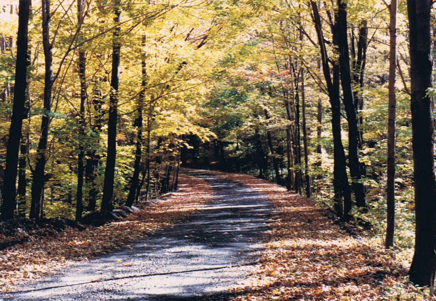
The Laurel Highlands is a region in southwestern Pennsylvania made up of Fayette County, Pennsylvania, Fayette County, Somerset County, Pennsylvania, Somerset County, and Westmoreland County, Pennsylvania, Westmoreland County. It has a population of about 600,000 people. The region is approximately fifty-five miles southeast of Pittsburgh, Pennsylvania, Pittsburgh; the Laurel Highlands center on Laurel Hill (Pennsylvania), Laurel Hill and Chestnut Ridge (Laurel Highlands), Chestnut Ridge of the Allegheny Mountains. The mountains making up the Laurel Highlands are the highest in Pennsylvania, with Mount Davis (Pennsylvania), Mount Davis in Somerset County the highest point in the state at . Because of the elevation, weather in the Laurel Highlands is generally cooler and wetter than in most other parts of the state. The Laurel Highlands is a popular area for camping, hiking, mountain biking, hunting, whitewater kayaking, trout fishing, wildlife viewing, downhill (and cross-co ... [...More Info...] [...Related Items...] OR: [Wikipedia] [Google] [Baidu] |


