|
Afaqi Khoja Revolts
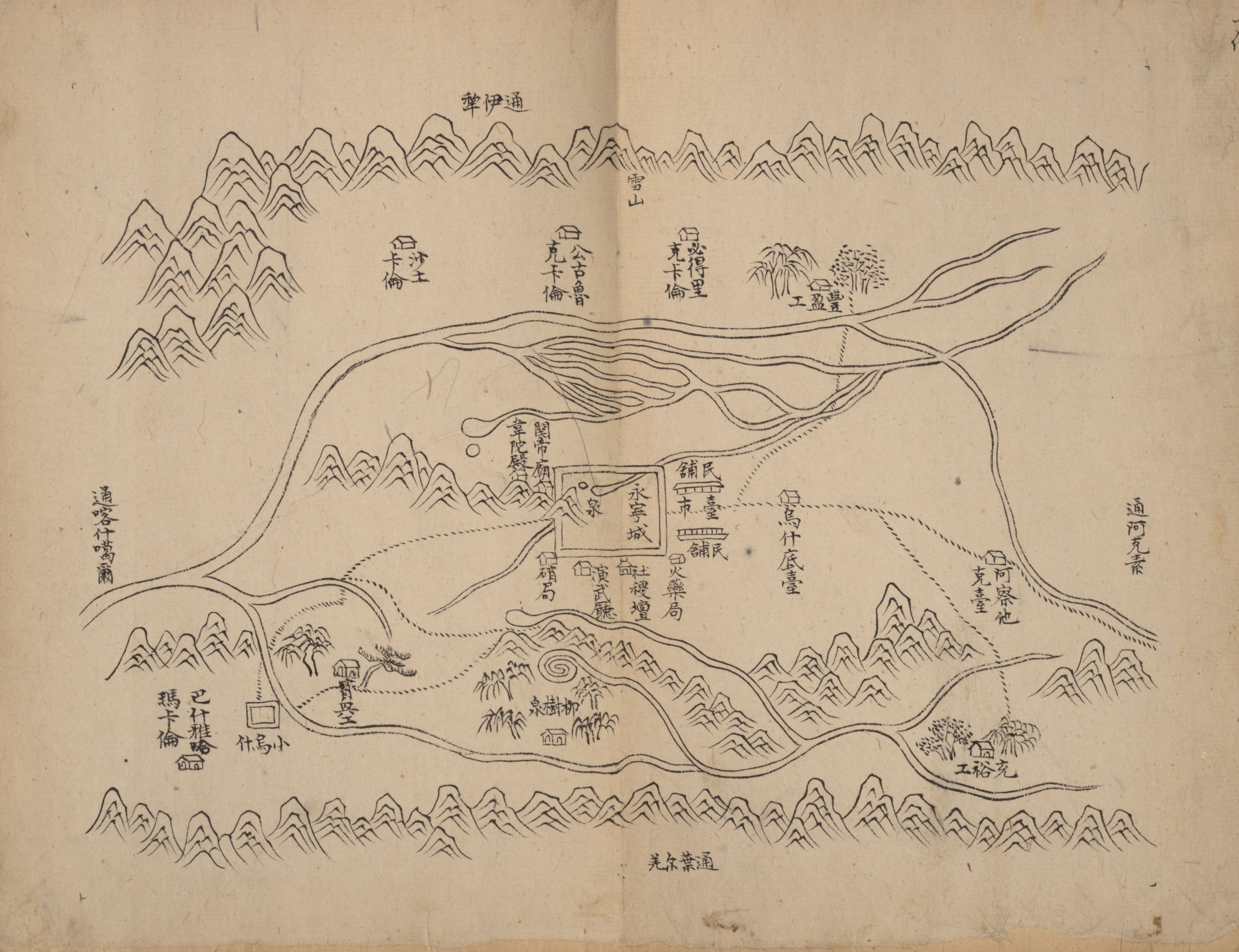
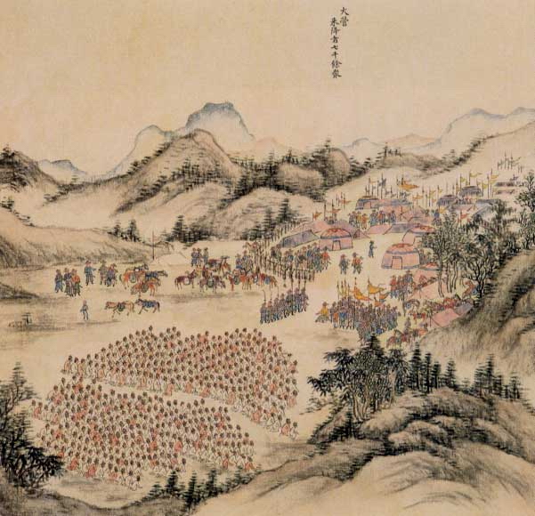
In 1759, the Qing dynasty of China defeated the Dzungar Khanate and completed the conquest of Dzungaria. Concurrent with this conquest, the Qing occupied the Altishahr region of Eastern Turkestan which had been settled by Muslims who followed the political and religious leadership of Afaq Khoja. After the Qing conquest, the Chinese began to incorporate Altishahr and the Tarim Basin into their empire. The territory along with Dzungaria came to be known as Xinjiang. Although the followers of Afaq Khoja known as the Āfāqī Khojas resisted Qing rule, their rebellion was put down and the khojas were removed from power. Beginning at that time and lasting for approximately one hundred years, the Āfāqī Khojas waged numerous military campaigns as a part of a holy war in an effort to retake Altishahr from the Qing. Khoja background and rivalries The Khojas of Central Asia were a Naqshbandī Sufi lineage founded by Ahmad Kāsānī (1461-1542), known as Makhdūm-i-Azam or the "Gre ... [...More Info...] [...Related Items...] OR: [Wikipedia] [Google] [Baidu] |
Altishahr
Altishahr (, , ; romanized: ''Altä-şähär'' or ''Alti-şähär''), also known as Kashgaria, is a historical name for the Tarim Basin region used in the 18th and 19th centuries. The term means 'Six Cities' in Turkic languages, referring to oasis towns along the rim of the Tarim, including Kashgar, in what is now southern Xinjiang Uyghur Autonomous Region of China. Etymology The name Altishahr is derived from the Turkic word ''alti'' ('six') and Persian word ''shahr'' ('city'). Newby 20054 n.10/ref> The ''Altishahr'' term was used by Turkic-speaking inhabitants of the Tarim Basin in the 18th and 19th century, and adopted by some Western sources in the 19th century. Other local words for the region included Dorben Shahr ('Four Cities') and Yeti Shahr ('Seven Cities'). Another Western term for the same region is Kashgaria. Qing sources refer to the region primarily as Nanlu, or the 'Southern Circuit'. Other Qing terms for the region include Huijiang (, the 'Muslim Frontier'), Hui ... [...More Info...] [...Related Items...] OR: [Wikipedia] [Google] [Baidu] |
Burusho People
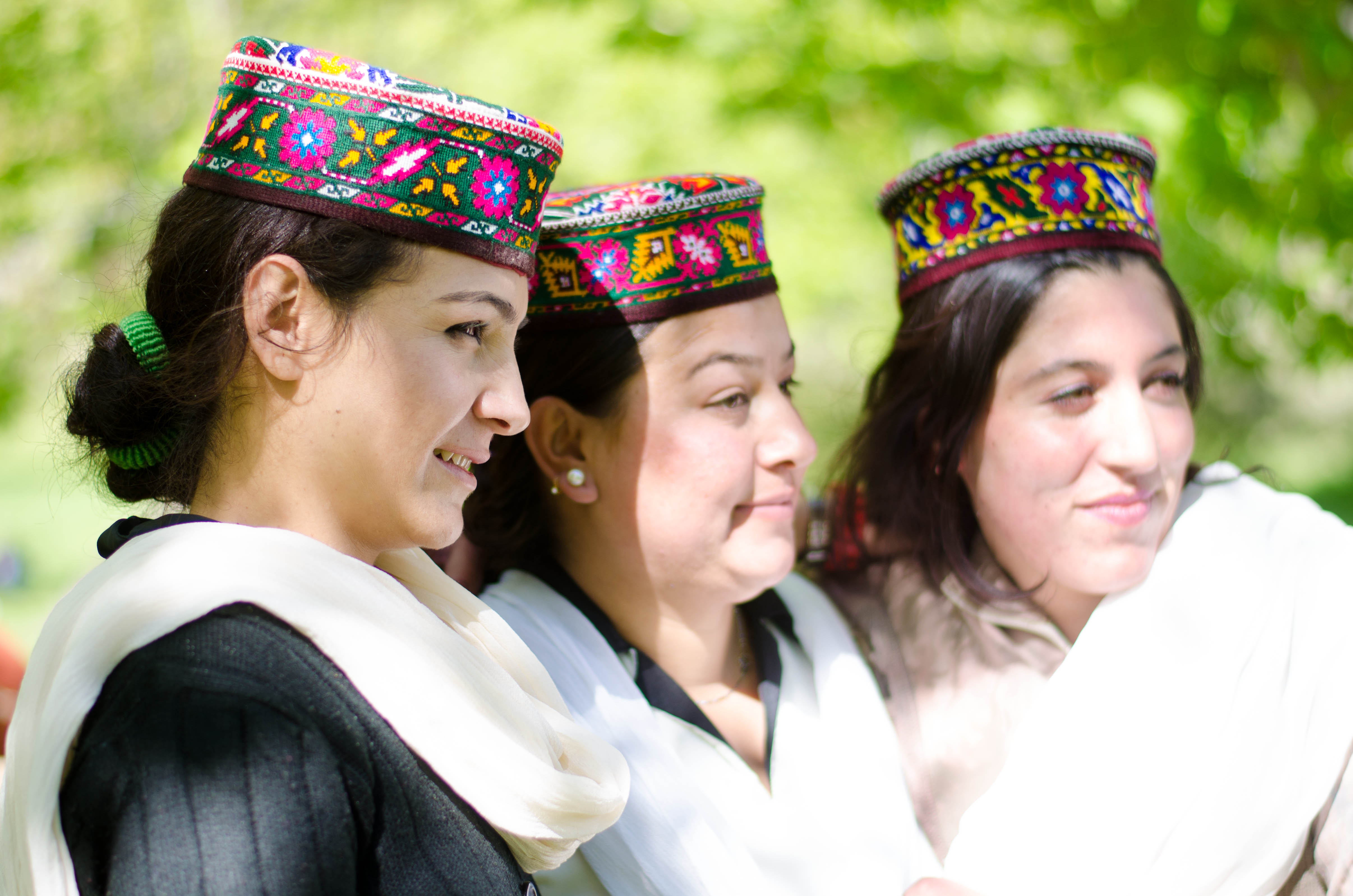
The Burusho, or Brusho, also known as the Botraj, are an ethnolinguistic group indigenous to the Yasin, Hunza, Nagar, and other valleys of Gilgit–Baltistan in northern Pakistan, as well as in Jammu and Kashmir, India. Their language, Burushaski, has been classified as a language isolate. Although their origins are unknown, it is claimed that the Burusho people "were indigenous to northwestern India and were pushed higher into the mountains by the movements of the Indo-Aryans, who traveled southward sometime around 1800 B.C." History Prior to the modern era, the area in which most Burusho now live was part of the independent state of Chitral. The state was a hereditary monarchy, controlled by the Karur dynasty, and headed by a ''mir'' (a title usually translated as king). In 1947, it became part of Pakistan. The construction of the Karakoram Highway during the 1970s brought more extensive contact with the outside world. Many traders, preachers, tourists, and other ... [...More Info...] [...Related Items...] OR: [Wikipedia] [Google] [Baidu] |
Dungan People
Dungan, Xiao'erjing: ; zh, s=东干族, t=東干族, p=Dōnggān zú, w=Tung1kan1-tsu2, , Xiao'erjing: ; russian: Дунгане, ''Dungane''; ky, Дуңгандар, ''Duñgandar'', دۇنغاندار; kk, Дүңгендер, ''Düñgender'', دٷڭگەندەر is a term used in territories of the former Soviet Union to refer to a group of Muslim people of Hui origin. Turkic-speaking peoples in Xinjiang Province in Northwestern China also sometimes refer to Hui Muslims as Dungans. In both China and the former Soviet republics where they reside, however, members of this ethnic group call themselves Hui because Dungans are descendants of historical Hui groups that migrated to Central Asia. In the censuses of the countries of the former Soviet Union, the Dungans (enumerated separately from Chinese) are found in Kazakhstan (36,900 according to the 1999 census), Kyrgyzstan (58,409 according to the 2009 census) and Russia (801 according to the 2002 census). [...More Info...] [...Related Items...] OR: [Wikipedia] [Google] [Baidu] |
Hui People
The Hui people ( zh, c=, p=Huízú, w=Hui2-tsu2, Xiao'erjing: , dng, Хуэйзў, ) are an East Asian ethnoreligious group predominantly composed of Chinese-speaking adherents of Islam. They are distributed throughout China, mainly in the northwestern provinces and in the Zhongyuan region. According to the 2011 census, China is home to approximately 10.5 million Hui people. The 110,000 Dungan people of Kazakhstan and Kyrgyzstan are also considered part of the Hui ethnicity. The Hui have a distinct connection with Islamic culture. For example, they follow Islamic dietary laws and reject the consumption of pork, the most commonly consumed meat in China, and have developed their own variation of Chinese cuisine. They also dress differently than the Han Chinese, some men wear white caps ( taqiyah) and some women wear headscarves, as is the case in many Islamic cultures. The Hui people are one of 56 ethnic groups recognized by China. The government defines the Hui peo ... [...More Info...] [...Related Items...] OR: [Wikipedia] [Google] [Baidu] |
Ush Rebellion
Uqturpan County, United States National Geospatial-Intelligence Agency or Uchturpan County ( transliterated from ; ), also Wushi County (), is a county in the Xinjiang Uyghur Autonomous Region under the administration of Aksu Prefecture and shares an approximately long border with Kyrgyzstan's Issyk-Kul Region. The county is bordered to the northeast by Onsu County (Wensu), to the southeast by Aksu city, to the west by Akqi County in Kizilsu Kyrgyz Autonomous Prefecture and to the south by Kalpin County (Keping). It has an area of and a population of 180,000. Name Uqturpan is also spelled Uchturpan and Uch-Turfan. History Tang During the Battle of Aksu (717), the Umayyad Caliphate and their Turgesh and Tibetan Empire allies hope to seize Uqturpan (then known as Dai-dʑiᴇk-dʑiᴇŋ) from Tang-Karluks- Exiled Western Turkic Khaganate allies but were repelled. Qing Ush Turfan was the site of a battle between Barhanuddin and Abdulla during the Revolt of the Altishahr K ... [...More Info...] [...Related Items...] OR: [Wikipedia] [Google] [Baidu] |
Khanate Of Kokand
The Khanate of Kokand ( fa, ; ''Khānneshin-e Khoqand'', chg, ''Khoqand Khānligi'') was a Central Asian polity in the Fergana Valley centred on the city of Kokand between 1709 and 1876. Its territory is today divided between Uzbekistan, Kyrgyzstan, Tajikistan, and Kazakhstan. History The Khanate of Kokand was established in 1709 when the Shaybanid emir Shahrukh, of the Ming Tribe of Uzbeks, declared independence from the Khanate of Bukhara, establishing a state in the eastern part of the Fergana Valley. He built a citadel as his capital in the small town of Kokand, thus starting the Khanate of Kokand. His son, Abdul Kahrim Bey, and grandson, Narbuta Bey, enlarged the citadel, but both were forced to submit as a protectorate, and pay tribute to, the Qing dynasty between 1774 and 1798.Starr. Narbuta Bey’s son Alim was both ruthless and efficient. He hired a mercenary army of Ghalcha highlanders, and conquered the western half of the Fergana Valley, including Khujand an ... [...More Info...] [...Related Items...] OR: [Wikipedia] [Google] [Baidu] |
Dzungar–Qing Wars
The Dzungar–Qing Wars ( mn, Зүүнгар-Чин улсын дайн, ) were a decades-long series of conflicts that pitted the Dzungar Khanate against the Qing dynasty and its Mongol vassals. Fighting took place over a wide swath of Inner Asia, from present-day central and eastern Mongolia to Tibet, Qinghai, and Xinjiang regions of present-day China. Qing victories ultimately led to the incorporation of Outer Mongolia, Tibet and Xinjiang into the Qing Empire that was to last until the fall of the dynasty in 1911–1912, and the genocide of much of the Dzungar population in the conquered areas. Background After the collapse of the Yuan dynasty in 1368, China's Mongol rulers withdrew to Mongolia and became known as the Northern Yuan dynasty. Over time, the Mongol state disintegrated into a series of Khanates, ruled by various descendants of Genghis Khan. The Qing dynasty defeated the Inner Chahar Mongol leader Ligdan Khan and annexed Inner Mongolia. While the Eastern M ... [...More Info...] [...Related Items...] OR: [Wikipedia] [Google] [Baidu] |
Dzungar Conquest Of Altishahr
The Dzungar conquest of Altishahr resulted in the Tibetan Buddhist Dzungar Khanate in Dzungaria conquering and subjugating the Genghisid-ruled Chagatai Khanate in Altishahr (the Tarim Basin). It put a final end to the independence of the Chagatai Khanate. Conquest The Turkic Muslim sedentary people of the Tarim Basin were originally ruled by the Chagatai Khanate while the nomadic Oirat Dzungar Buddhists in Dzungaria ruled over the Dzungar Khanate. The Dzungar Oirats led by Sengge attacked the Chagatai Khanate during the reign of Abdullah Khan. The Naqshbandi Sufi Khojas, descendants of the Prophet Muhammad, had replaced the Chagatayid Khans as the ruling authority of the Tarim Basin in the early 17th century. There was a struggle between two factions of Khojas, the Afaqi (White Mountain) faction and the Ishaqi (Black Mountain) faction. The Ishaqi defeated the Afaqi, which resulted in the Afaqi Khoja inviting the 5th Dalai Lama, the leader of the Tibetan Buddhists, to inter ... [...More Info...] [...Related Items...] OR: [Wikipedia] [Google] [Baidu] |
Yarkent Khanate
The Yarkent Khanate, also known as the Yarkand Khanate and the Kashghar Khanate, was a Sunni Muslim Turkic state ruled by the Mongol descendants of Chagatai Khan. It was founded by Sultan Said Khan in 1514 as a western offshoot of Moghulistan, itself an eastern offshoot of the Chagatai Khanate. It was eventually conquered by the Dzungar Khanate in 1705. Capital Yarkent served as the capital of the Yarkent Khanate, which was also known as the Yarkent State (''Mamlakati Yarkand''), from the establishment of the Khanate (1514 AD) to its fall (1705 AD). The previous Dughlat state of Mirza Abu Bakr Dughlat (1465–1514) of Kashgaria also used Yarkent as the capital of state. History Background The Khanate was predominantly Uyghur/Turki; some of its most populated cities were Hotan, Yarkent, Kashgar, Yangihissar, Aksu, Uchturpan, Kucha, Karashar, Turpan and Kumul. It enjoyed continued dominance in the region for about 200 years until it was conquered by the Dzungar Khan, ... [...More Info...] [...Related Items...] OR: [Wikipedia] [Google] [Baidu] |
Xinjiang Under Qing Rule
The Manchu-led Qing dynasty of China ruled over Xinjiang from the late 1750s to 1912. In the history of Xinjiang, the Qing rule was established in the final phase of the Dzungar–Qing Wars when the Dzungar Khanate was conquered by the Qing dynasty, and lasted until the fall of the Qing dynasty in 1912. The post of General of Ili was established to govern the whole of Xinjiang and reported to the Lifan Yuan, a Qing government agency that oversaw the empire's frontier regions. Xinjiang was turned into a province in 1884. Terminology Xinjiang ''Xinjiang'' means "New Frontier" and was introduced during the reign of the Qianlong Emperor (r. 1735–1796) as ''Xiyu Xinjiang'' (New Frontier of the Western Region). Xinjiang became the common designation for the region under the General of Ili Songyun in the late 18th century. It was split between ''Zhunbu'' (Dzungaria) in the north, also known as ''Tianshan Beilu'' (Northern March), ''Huibu'' (Muslim Region) in the south, also known ... [...More Info...] [...Related Items...] OR: [Wikipedia] [Google] [Baidu] |
Tarim Basin
The Tarim Basin is an endorheic basin in Northwest China occupying an area of about and one of the largest basins in Northwest China.Chen, Yaning, et al. "Regional climate change and its effects on river runoff in the Tarim Basin, China." Hydrological Processes 20.10 (2006): 2207–2216.online 426 KB) Located in China's Xinjiang region, it is sometimes used synonymously to refer to the southern half of the province, or Nanjiang (), as opposed to the northern half of the province known as Dzungaria or Beijiang. Its northern boundary is the Tian Shan mountain range and its southern boundary is the Kunlun Mountains on the edge of the Tibetan Plateau. The Taklamakan Desert dominates much of the basin. The historical Uyghur name for the Tarim Basin is Altishahr ( Traditional spelling: 六城 or ), which means 'six cities' in Uyghur. Geography and relation to Xinjiang Xinjiang consists of two main geographically, historically, and ethnically distinct regions with different hi ... [...More Info...] [...Related Items...] OR: [Wikipedia] [Google] [Baidu] |
Afaq Khoja
Afaq Khoja ( ug, ئاپاق خوجا), born Hidayat Allah ( ug, هدایتالله; ), also known as Apaq Xoja or more properly Āfāq Khwāja ( fa, آفاق خواجه), was a Naqshbandi īshān and political leader with the title of Khwaja in Kashgaria (in present-day Southern Xinjiang, China). He was also known as Khwāja Hidāyat Allāh (خواجه هدایتالله). Spelling variants In Chinese, Afaq Khoja is known as . His name is also written as (''Āpàkè Huòjiā'') or (''Āpàkè Hézhuō'') and occasionally just (''Āpà Huòjiā''); ''Khoja'' may also appear as (Hézhuō). In the Uyghur Latin alphabet, it is written as ''Apaq Xoja'' and in Modern Uyghur script as . Biography Afaq Khoja was a great-grandson of the noted Naqshbandi Sufi teacher, Ahmad Kasani (احمد کاسانی) (1461–1542) (also known as ''Makhdūm-i`Azam'', مخدومِ اعظم, "the Great Master") and was revered as a Sufi teacher in his own right. Afaq was born in ... [...More Info...] [...Related Items...] OR: [Wikipedia] [Google] [Baidu] |

%2C_1772..jpg)


